
Explore Windham County
Windham County
Explored: 100%
The Quiet Corner of Connecticut.
Windham County holds over 120 preserved open space areas totaling well over 20,000 acres.
- 265 miles of trails
- Dozens of fishing/boating locations
- 2 rock climbing areas
- 4 disc golf courses
Most Popular Locations
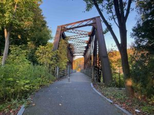
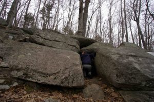
My Highlights
My Recommendations
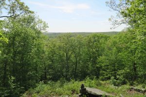
Best Overlook: Old Furnace State Park
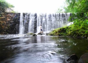
Best Waterfall: Cargill Falls is powerful but my pick is the man-made falls of Cat Hollow
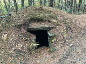
Other Highlights: Wolf Den at Mashamoquet Brook
Regional Land Trusts
Regional Land Trusts
- Joshua’s Trust
- Wolf Den Land Trust
- Wyndham Land Trust
- New Roxbury Land Trust
Town List
Ashford (17 hiking areas for 42 miles of trails, 1 fishing/boating)
- Highlight is Boston Hollow
Brooklyn (7 hiking areas for 10 miles, 1 fishing/boating area)
- Highlight Davis Forest
Canterbury (2 hiking areas for 2.5 miles, 1 fishing/boating area)
- Highlight is Kinne Preserve
Chaplin (8 hiking areas for 16.5 miles, 3 fishing/boating areas, and a disc golf course)
- Highlight is Diana’s Pool
Eastford (6 hiking areas for 23.5 miles, 1 fishing/boating area)
- Highlight is Halls Pond
Hampton (13 hiking areas for 31.2 miles, 2 fishing/boating areas)
- Highlight is Goodwin State Forest
Killingly (15 hiking areas for 20.6 miles, 5 fishing/boating areas)
- Highlight is Old Furnace State Park
Plainfield (3 hiking areas for 10 miles, 1 fishing/boating area)
- Highlight is Sugar Brook
Pomfret (13 hiking areas for 43.2 miles, 1 fishing/boating area)
- Highlight is Wolf Den
Putnam (3 hiking areas for 3.1 miles, 1 fishing/boating area)
- Highlight is Cargill Falls
Scotland (5 hiking areas for 11.5 miles, 0 fishing/boating areas)
- Highlight is Rock Spring
Sterling (2 hiking areas for 6.1 miles, 1 fishing/boating area)
- Highlight is Pharisee Rock
Thompson (12 hiking areas for 28.5 miles, 2 fishing/boating areas)
- Highlight is the Tri-State Marker
Windham (5 hiking areas for 10 miles, 2 fishing/boating areas)
- Highlight is Allanach Wolf Woodlands
Woodstock (11 hiking areas for 11.5 miles, 4 fishing/boating areas)
- Highlight is the Wabbaquassett
Boating/Fishing
Disc Golf
- Crystal Pond – 18 hole course
- Davis Forest – 18 hole course
- Garrison Park – Nine hole course, almost entirely open holes around a field with two water-carry holes
- West Thompson Lake – 18 hole course
Coming soon!
{{locationDetails}}