Photos

Description

Halls Pond

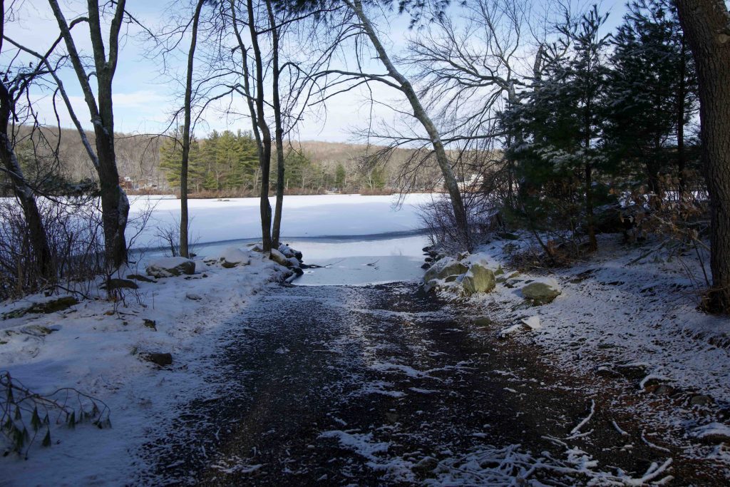
Connecticut State Boat Launch

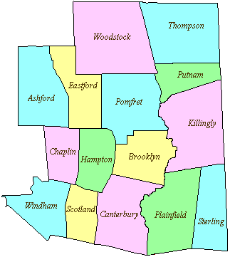
1.5 acres in Eastford, CT

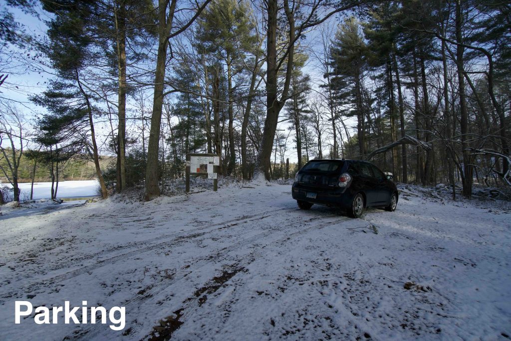
Parking: Small lot and shoulder parking near 92 Kennerson Rd, Eastford, CT

Boat Launch Map       Trails: None          Rating: ★★★☆☆


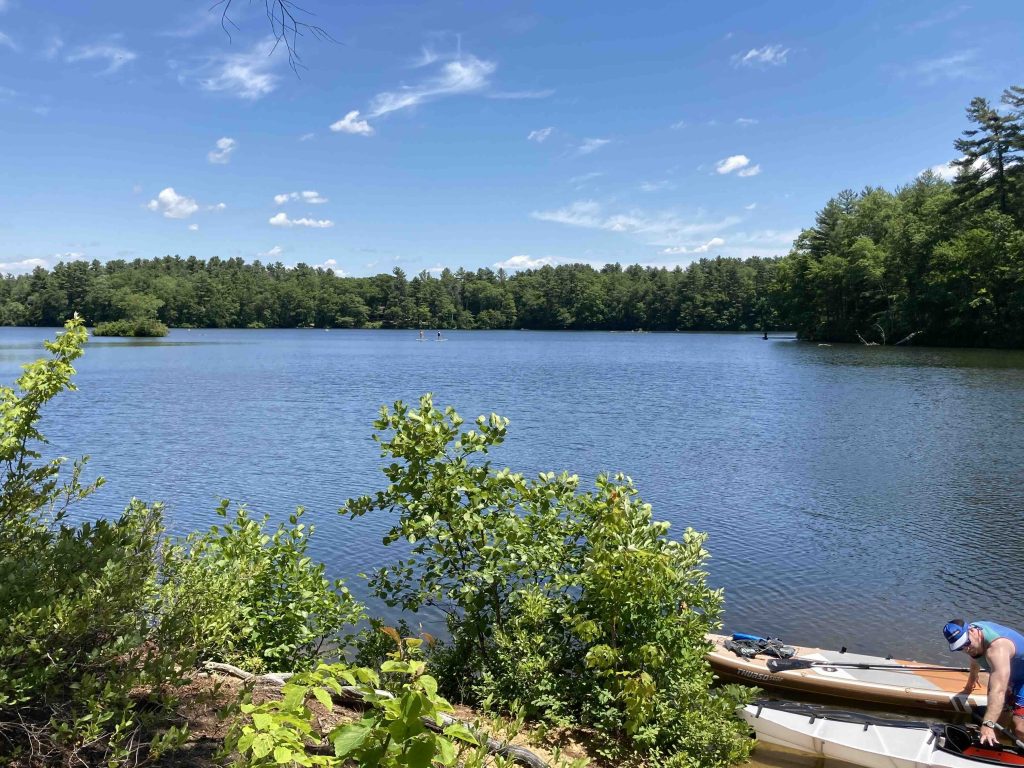
Halls Pond is a fantastic spot for a paddle with 81.5 acres with small coves, islands, and other spots to explore.  I paddled the pond a beautiful sunny day in mid-June and it took about 1.5 hours to explore the whole area though you could spend a couple more just enjoying the scenery

The water is clear and filled with curious fish who hid under my boat anytime I was near the shore.  There are also tree stumps preserved by the water hiding just below the surface. At least two of the islands are explorable with narrow paths and small clearings among the pines.

There were a couple fisherman out on the water and I saw what were likely a couple bass jump.  It is a bass management lake with a max depth of 14 feet and an average depth of 6.7 feet.

An osprey has a nest on the west end of the pond so you might get lucky and see it fishing and there are a number of Canadian geese who hang out around the pond.

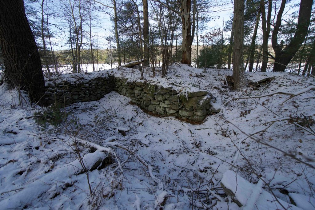
There aren’t any trails on the 1-acre land parcel and is exclusively for launching boats.  Signs are posted for no swimming (though some people swim out to the first island).  There is an old foundation next to the parking area, but nothing else to explore.

History:

The pond is man-made though I haven’t found an origin date or why it’s called Halls Pond. There are two dams on the pond, both rebuilt in 1968.  The north dam contains a spillway and is traversed by the road and the south dam is 250 foot long earth dike with a maximum height of 14 feet.


Links:

Kayaking with Lou – Halls Pond (2017)

Halls Pond Water Quality Classification (1989)

The information shown here is for general reference purposes only. exploreCT.org gives no warranty, expressed or implied, as to the accuracy or reliability of this data. Parking in all areas, whether designated here or not, is at your own risk. exploreCT.org is not responsible for any damage or loss to vehicles or contents.
Last updated June 13th, 2021

Video

Visited 3261 times, 2 Visits today

Related Listings

Tri State Marker East

★★★☆☆

42.007811, -71.805467

Tri State Border Marker CT, MA, RI in Thompson, CT Parking: Small lot near 652 E Thompson Rd, Thompson, CT Trail Map.       Trails: 2 miles …

Yale Forest Camp

★★☆☆☆

41.969302, -72.112422

Yale Forest Camp Yale Forest in Union, CT and Eastford, CT Parking: Shoulder parking near 98 Bigelow Hollow Rd Union, CT Trail Map        Trails:…

Tower of No Bull Salvage

★★★☆☆

41.401616, -72.884891

The Tower of No Bull Salvage William Wiley Art Installation Located in North Haven, CT No parking near 2350 Ridge Rd North Haven, CT Trail Map The Tower… Read more…