Photos

Description

Nipmuck Trail : Boston Hollow

Connecticut Blue Blaze Trail

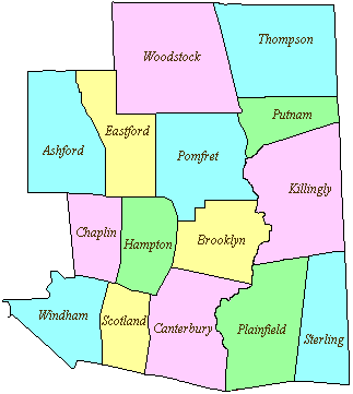
in Ashford, CT

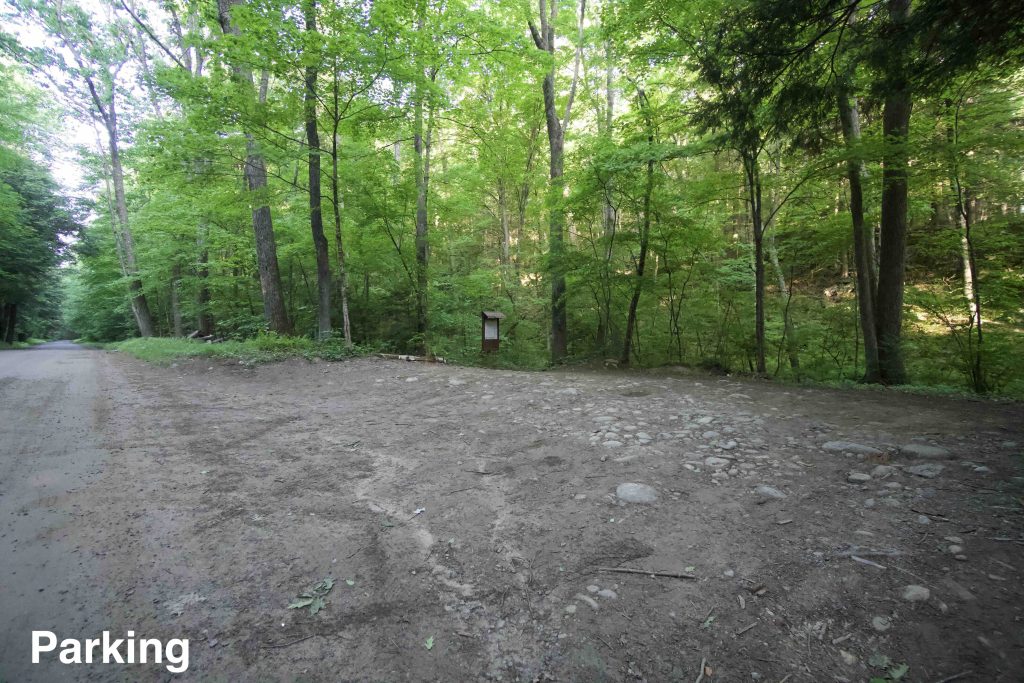
Parking:

Trail Map         Trails: 4.2 miles        Rating: ★★★☆☆


Boston Hollow Rd is an unpaved road through the Boston Hollow ravine.  I had the surreal experience of visiting this spot for the first time while driving in a friend’s 1930 Model A.  Bumping along on this 200-year-old dirt road in a 90-year-old car through this deep hemlock lined ravine was like time travel and the best way to start this hike.

Hiking

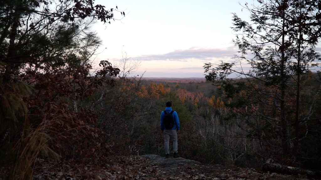
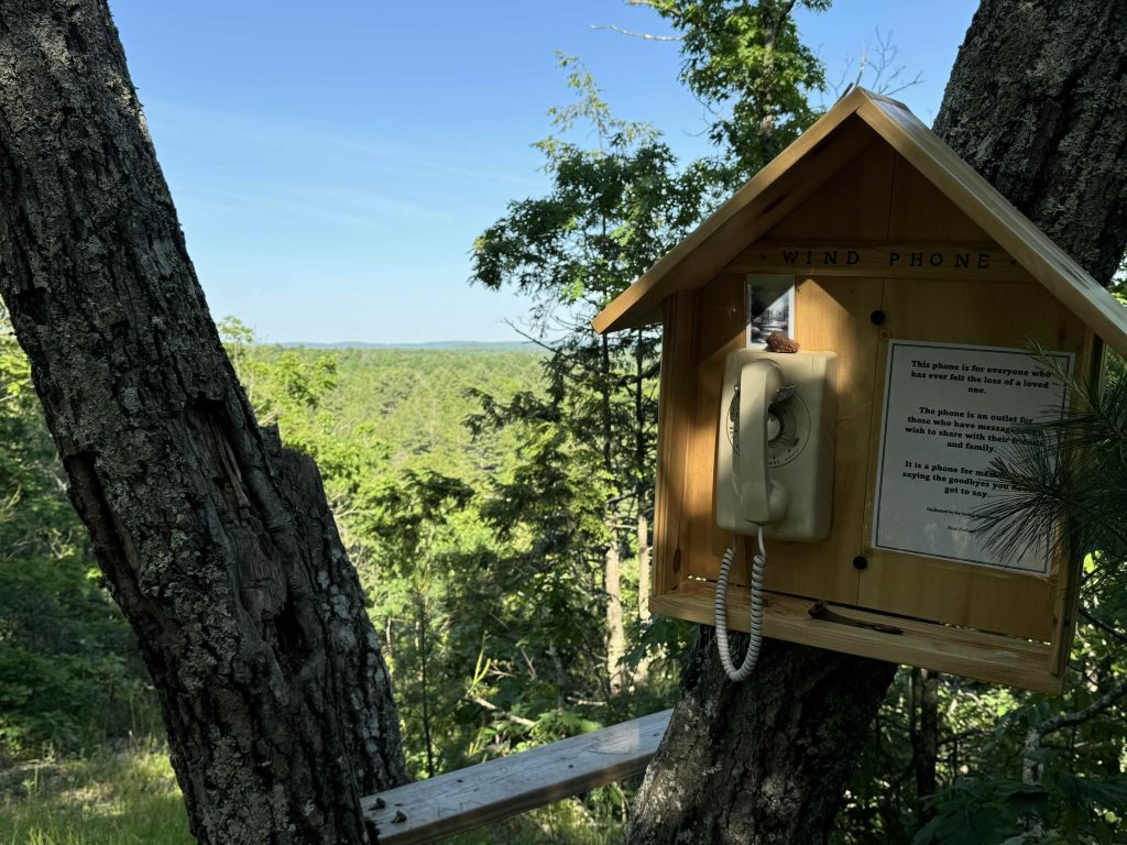
From the parking pull-off the Nipmuck Trail swiftly ascends the northern ridge of the ravine. Though the climb is steep it is fairly short.  The trail then heads off the ridge and soon reaches a rocky overlook at around 0.66 miles with a view southwest. A bench has been installed on a nearby tree to rest and enjoy the view.

Just past the overlook is one more steep section where a wooden handrail has been installed to assist the descent. Beyond this point, while hilly, the trail is much more manageable.

The trail winds through particularly rugged and remote forest which I thoroughly enjoy.  This is the longest stretch of the Nipmuck Trail without a road crossing and it climbs hill after hill only to drop into valley after valley.

As the trail nears Barlow Mill Rd you pass through a brief stretch protected by Hull Forest Products called the “Bigelow Brook Forest – Little Woodlot”.

A loop hike can be done here by hiking taking a right once you’ve reached Barlow Mill Rd and then another right where it meets Boston Hollow Rd back to the pull-off parking.  The loop is about 5 miles.

You can also continue on the Nipmuck Trail in either direction:

Previous Section – Yale Forest: Eastford Road

Next Section – Yale Forest: Walker Mountain

History:

Boston Hollow is one of the most well-preserved ravine faults in eastern Connecticut.  Boston Hollow Rd is a portion of the Center Turnpike, constructed in 1827.

This section of trail (along with the next at Walker Mountain) was opened on May 1, 1976.  It was designed and then maintained by Robert Mancini for 40 years.


Links:

The information shown here is for general reference purposes only. exploreCT.org gives no warranty, expressed or implied, as to the accuracy or reliability of this data. Parking in all areas, whether designated here or not, is at your own risk. exploreCT.org is not responsible for any damage or loss to vehicles or contents.
Last updated June 7th, 2020

Visited 2802 times, 5 Visits today

Related Listings

Mohawk Mountain

Unexplored

1 Toomey Rd, West Cornwall, CT, USA

Mohawk Mountain State Park and Forest Connecticut State Park / State Forest 4,016 acres in Cornwall, Goshen, and Litchfield, CT State Park – 273 acres State Forest – 3,743 acres Parking: Main… Read more…

Mattatuck Trail – Wilton Pond

Unexplored

411 Carter Road, Plymouth, CT, USA

Mattatuck Trail: Wilton Pond Blue Blaze Trail & Connecticut State Forest acres in Plymouth and Thomaston, CT Parking: Shoulder parking near 411 Carter Rd, Plymouth, CT Trail… Read more…

Garnet Ledge

★★☆☆☆

155 Birch Mountain Rd, Glastonbury, CT, USA

Shenipsit: Garnet Ledge Manchester Water Co. Property, Kongscut Land Trust, and Blue Blaze Trail 1,437 acres in Glastonbury, CT Parking: North End: From Case Mountain closest parking… Read more…