Photos

Description

Putnam River Heritage Trail

Putnam Town Park

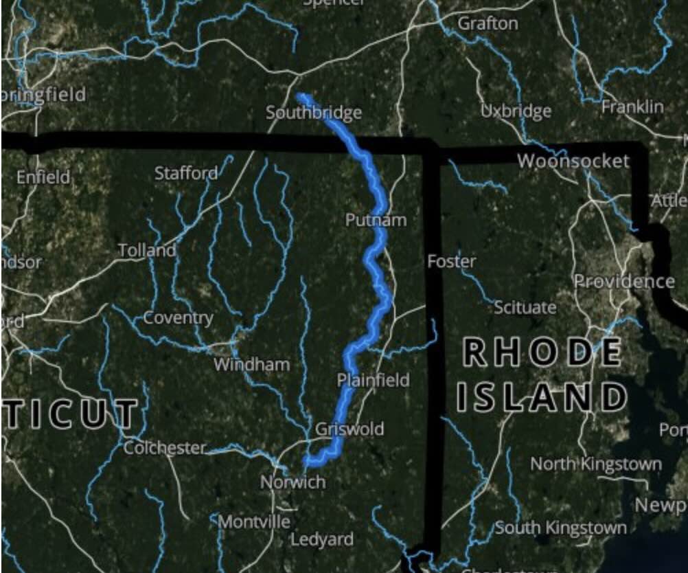
Along the Quinebaug River in Putnam, CT

Parking: There are a number of small open lots along Kennedy Drive Putnam, CT

Trail Map     Trails: 1.5 miles      Rating: ★★☆☆☆


This river trail will eventually complete one of the few remaining gaps in the Air Line Trail State Park.

Hiking

Both trails are level and easy for walking or biking with informational signboards along the way though it is more of an urban hike alongside traffic for pretty much its entire length.  I thought Rotary Park, the view of the falls, and Simonzi Park were particularly nice.  All seemed to be pretty popular with people sitting alongside the river, dog walkers, and couples out for strolls.

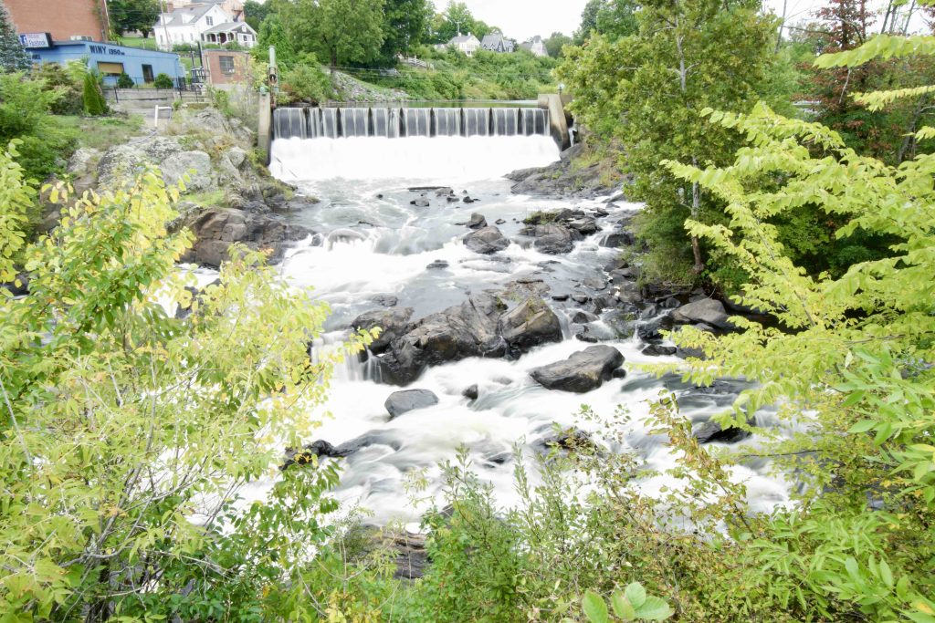
The Putnam River Trail confusingly overlaps with the River Mills Heritage Trail, but is defined as the black trail in the map above.  The trail is about 1.3 miles along the eastern side of the Quinebaug River before passing over a former railroad trestle serving as a pedestrian bridge.  There is a number of scenic views including Cargill Falls as well as historic mills.

There is also the Mills Heritage Trail 0.9 mile trail (the red line above) that, “commemorates Putnam’s link to the American Industrial Revolution” as it passes six historic mills including the Cargill Falls Mill as well as the Morse mansion.  The Putnam site claims the Cargill Falls Mill is the oldest cotton mill site in the nation from 1807, but Steve at CTMQ dug up this correction, which Wikipedia corroborates.

History:

The trail was built in 1998 from Arch Street to Providence Street at Miller Park.  Expansions happened in 2009 from Arch Street foot south to the Putnam Riverview Marketplace and then in 2016 south again from the Putnam Riverview Marketplace to the Hale YMCA Youth and Family Center.


Links:

CTMQ – The Putnam River & Mill Heritage Trails (2017)

Peter Marteka – A River Trail With A View Of Putnam’s Mill History (2013)

The information shown here is for general reference purposes only. exploreCT.org gives no warranty, expressed or implied, as to the accuracy or reliability of this data. Parking in all areas, whether designated here or not, is at your own risk.exploreCT.org is not responsible for any damage or loss to vehicles or contents.
Last updated September 13th, 2022

Visited 2947 times, 1 Visits today

Related Listings

Giuffrida Park

★★★★★

41.562115, -72.762339

Giuffrida Park Meriden Town Park 598 acres in Meriden, CT Parking: Medium sized lot near 800 Westfield Rd, Meriden, CT Trail Map          Trails: 24.8 miles …

Prophet’s Rock

★★☆☆☆

166 Burrows Hill Road, Amston, CT, USA

Prophet’s Rock Hebron Town Park 1.5 acres in Hebron, CT Parking: Small pull off near 166 Burrows Hill Road Hebron, CT Trail Map       Trails: 0.15…

West Stafford Conservation Area

Unexplored

153 W Stafford Rd, Stafford Springs, CT 06076, USA

West Stafford Conservation Area Stafford Town Park 40 acres in Stafford, CT Parking: Small lot near the Stafford Elementary School near 153 W Stafford Rd, Stafford Springs,…