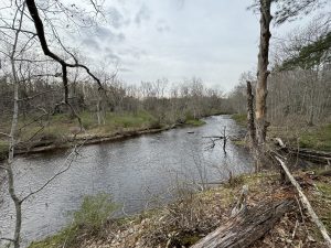
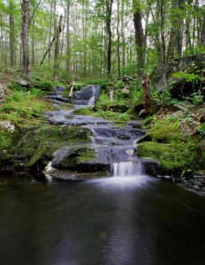
The forest contains the headwaters of the Natchaug River (formed from the meeting of the Still River and Bigelow Brook) which provides swimming and fishing along its length.
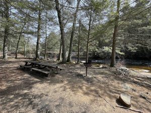
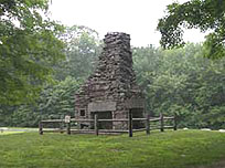
There are forest roads, trails blazed by the CCC, a section of the blue blaze Natchaug Trail with backpacking lean-to, a designated horse trail and camp, and a historical site at Nathaniel Lyon State Park.
Pomfret Block – ★★ – 3.3 miles – Designated a equestrian trail the trail connects Mashamoquet Brook State Park with Clapp Road
Natchaug State Forest was first known as Eastford Forest when the original 586 acres were acquired by the state in 1917. This marked it as the 5th state forest in Connecticut.
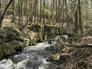
It was the site of the Civilian Conservation Corps Camp Fernow from 1933 to 1941. The men from the camp are responsible for the road, trails, and a bridge within the state forest property.