Thru-Hiking the Shenipsit Trail
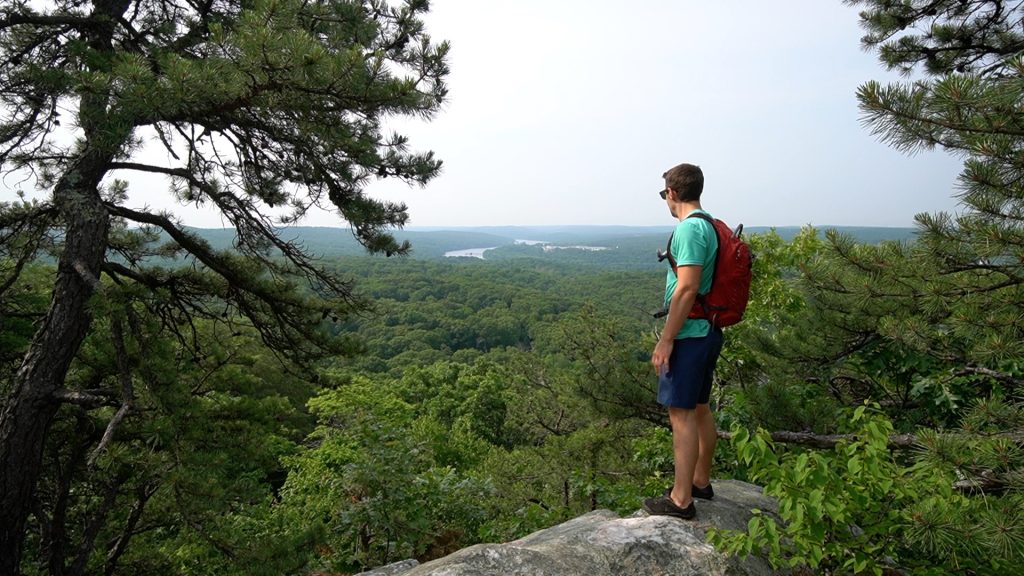
It’s been three years since my last thru-hike on the Nipmuck Trail in June 2020. I’d been thinking about doing the whole Shenipsit Trail since then but finally pulled it together in a rush the weekend after CT Trails Day in June.
The plan was straightforward enough: hike the first 25.7 mile half on Day 1, stop at the Bolton Park & Ride and possibly sleep overnight in my car (depending on how tired I was), then finish the second 24.5 mile half on Day 2. In practice it ended up being two straight 10-hour days of hiking where I did. not. stop.
Most of the trail remains much as it was when it was first blazed in 1953 in long stretches through the Meshomasic and Shenipsit State Forests. Theses two state forests are close to identical with rugged hilly terrain, complex interweaving trail systems rutted by dirt bikes, but highlighted by great overlooks. Both run parallel to the geologic Eastern Border Fault and contain a belt of Glastonbury gneiss. It’s interesting to see the Walk Books from each decade using nearly identical trail maps throughout.
Despite anchors in these forests, the trail has really only become an official and complete thru-hike in the last 10 years or so as the long-standing 11 mile gap filled in between Bolton and Ellington. There are still inconvenient road walks that interrupt the trail and sections that exist solely for connections sake. It all blends together to form this unique trail of engaging contrasts. Part remote beauty on trails your grandfather could have hiked. Part hectic cramped against the modern car. Part dedication to the enjoyment of future hikers and trail runners. Part slinking between present development and industry. Part rugged challenge and top tier highlights.
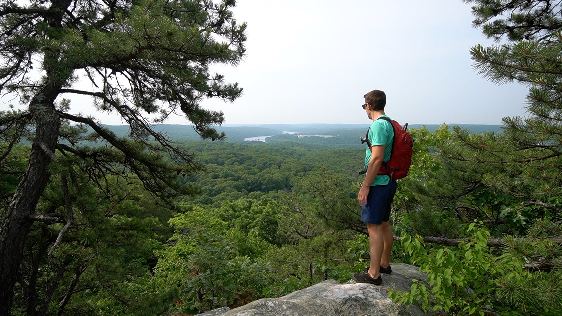
I felt familiar with all the sections on Day 1 though not as intimately as I did the Nipmuck where I had run, hiked, and camped countless times before my thru hike. The Shenipsit starts with a bang at the Great Hill overlook with views down to the Connecticut River. Before passing old mines touching on the history of central Connecticut and clambering through the woods of the second oldest state forest in the country to catch sights like Carr Brook Falls and the ridge of Bald Hill.
I explored the abandoned section where the trail used to be a run across Route 2. And attempted to find the contested culverts for the proposed 2015 reroute under Route 2 that was shot down by the DOT. Instead, I ended up hiking the trail as is on the 2.8 mile road walk over the highway.
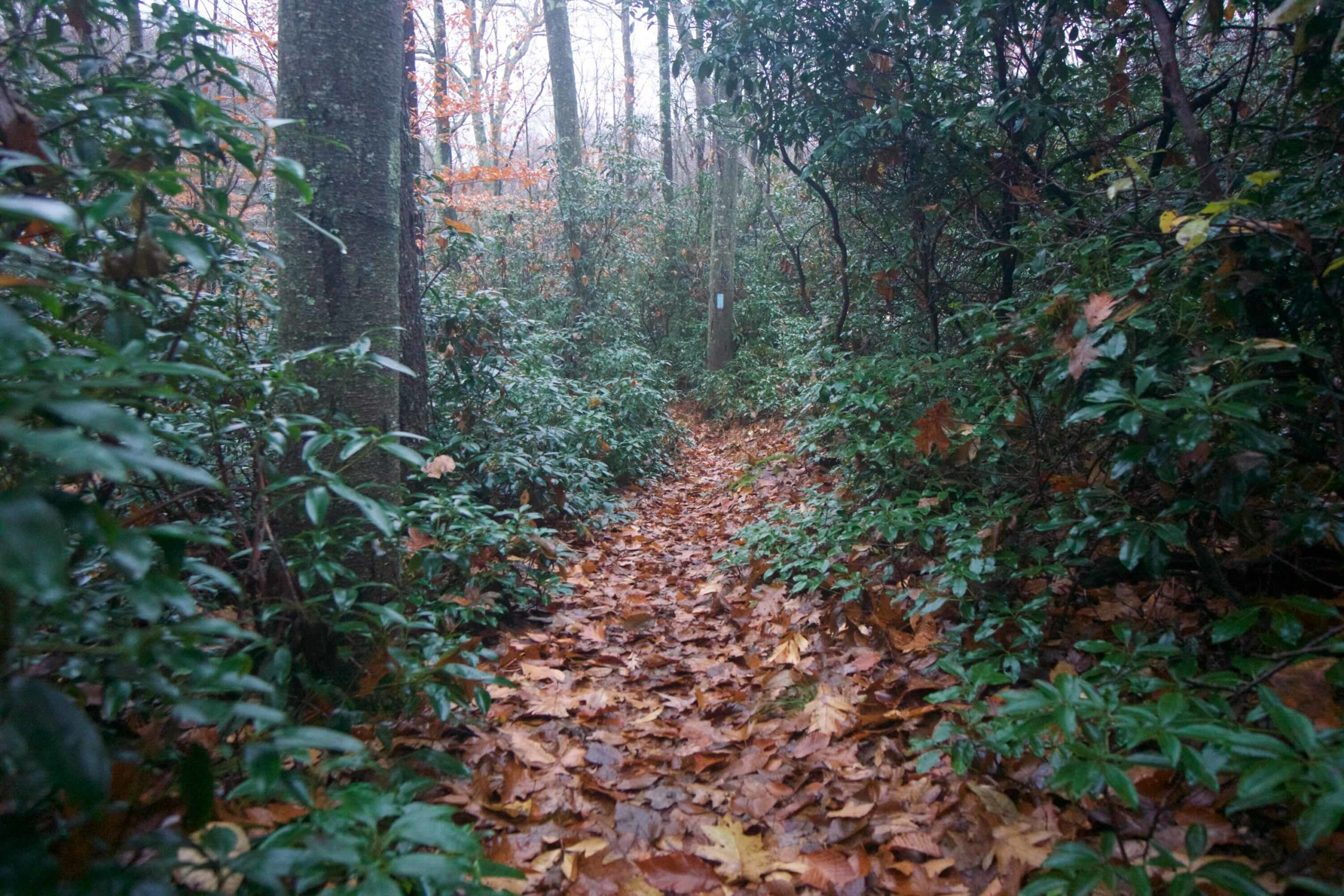
This was made up for by the miles and miles of absolutely perfect peak mountain laurel blooms from Dark Hollow to Flat Brook Falls. I’ll consider myself incredibly lucky to ever get that good of a blooming season and the timing that right again. The trail alternated between less traveled and well traveled sections all the way through Case Mountain where I hopped briefly off the Shenipsit to take in the view from Lookout Mountain.
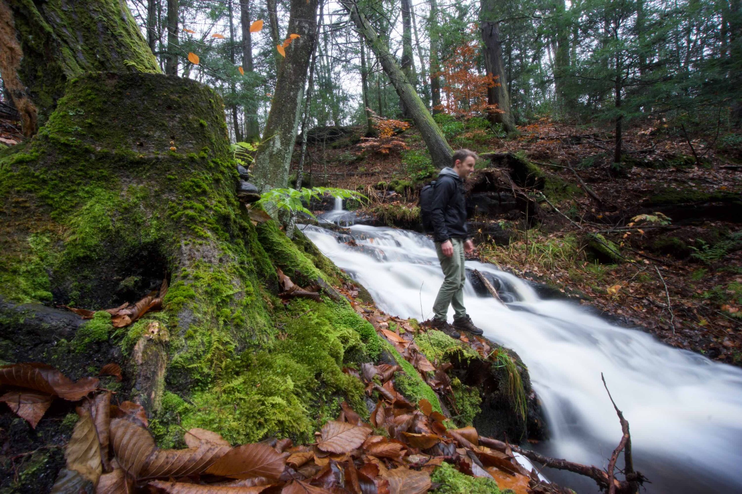
The last sections of the day I’ve started calling the ‘mid-connectors‘, brief forested sections infrequently traveled half overgrown and half with their own certain charm. The day wrapped up nearing 7pm on the paved path of the Charter Oak Greenway where I stuck to the narrow strip of grass to ease my aching feet until reaching my car at the Bolton Park & Ride.
My legs were sore and the forecast was calling for rain but I returned the next morning for the second half of the trail. I passed through the trail hub of Freja Park and said good morning to every cyclist on the Hop River Trail. I caught the tiny Valley Falls and enjoyed one of my favorite stretches of trail through the Belding Wildlife Management Area. These sections closed the first half of that long standing Bolton-to-Ellington-gap.
The second half was closed by alternating road walk and brief trail. First, 1.0 mile to get under I-84 that allowed me to discover the briefly trailed Tolland Agricultural Center. Then another 1.2 mile road walk where the nicest things were the classic cars at Bundy Motors. Again a brief section of trail next to Shenipsit Lake which lets me tell you ‘shenipsit’ is a Native American word (I couldn’t find which dialect it is attributed to) which means ‘at the great pool’ likely in reference to this very lake. Then another 2 mile road walk and a surprise trail around Lake Bonair.
This finally brought me to the second anchor of the Shenipsit State Forest. Sore legs, sore feet, and a desire to beat the rain propelled me up to the summit and current high point of the trail, 1,075 ft Soapstone Mountain with its expansive tower view. The high point was once Bald Mountain a bit to the north when the trail reached past Camp Aya-Po in the 1970s but that stretch has been abandoned for a few decades now.
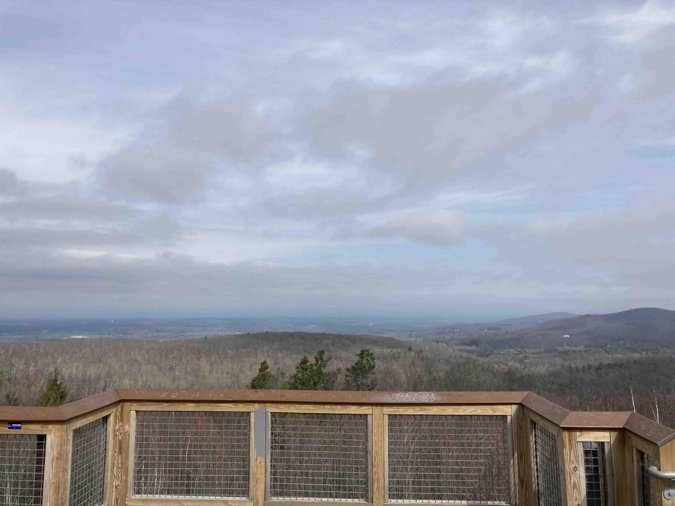
Descending off Soapstone a cool breeze picked up portending rain. I had saved this last section north of Galbraith Road un-hiked for this thru-hike occasion and entered it as brand new trail. I crossed over Lievre Brook and numerous hills and garnered congrats from a fellow trail runner who aims to run the whole trail in the fall (hope you do!). The trail ends a bit unceremoniously at its current terminus on the side of Greaves Road and I, weary but thrumming with the joy of completion, beat the rain by 15 minutes.
