Photos

Description

Shenipsit Trail – South Terminus at Great Hill

Connecticut Blue Blaze TrailShenipsit

in Portland, CT

Parking: Small lot and shoulder parking off gravel Gadpouch Rd

Trail Map


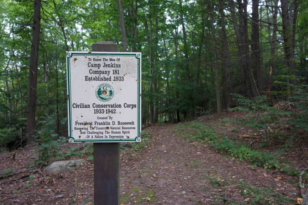
The current terminus of the Shenipsit Trail is pretty unassuming but has a long history as one of the first properties acquired by the state in 1917. Just off a dirt section of Gadpouch Rd the trail starts in the Meshomasic State Forest.  A sign at the trailhead honors the men of the Civilian Conservation Corps at Camp Jenkins from 1933-36.

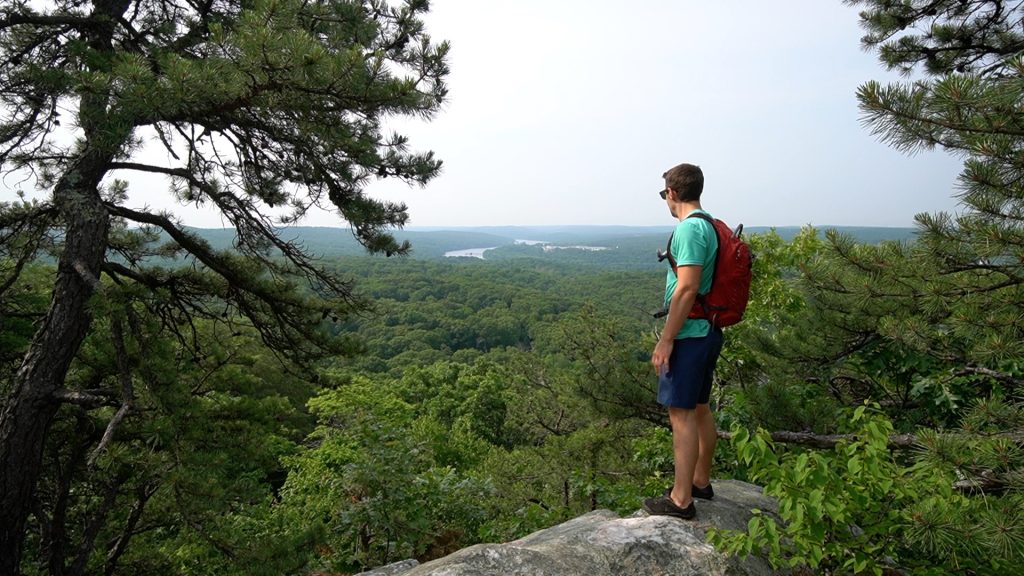
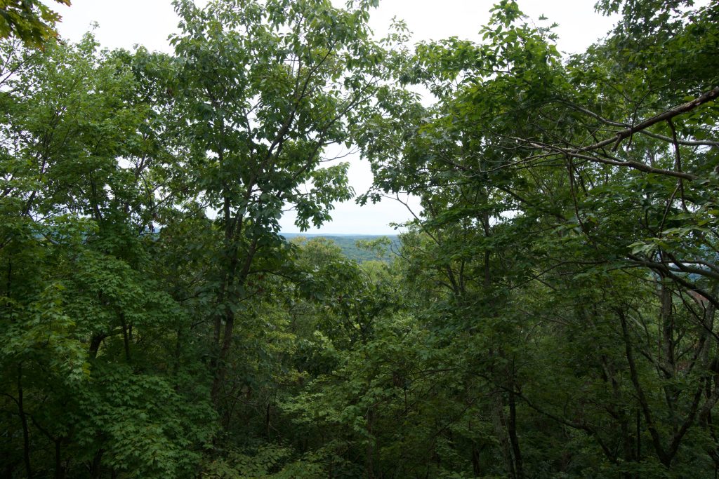
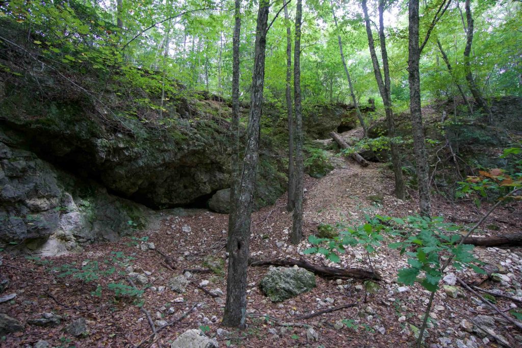
The trail quickly and steeply climbs Great Hill and forks as it crests the hill.  Heading left takes you to a fantastic overlook from a rocky pegmatite ledge with views south over the Connecticut River.  Heading right at the fork continues along the Shenipsit.  The trail is straightforward following a spine of hills along the Portland/East Hampton border passing a narrow vista or two on rocky outcrops.

The trail continues until crossing the gravel Woodchoppers Rd.  Although the CFPA doesn’t list parking there, several cars were parked at the gates on either side on my last hike there. Total distance is about 2 miles.

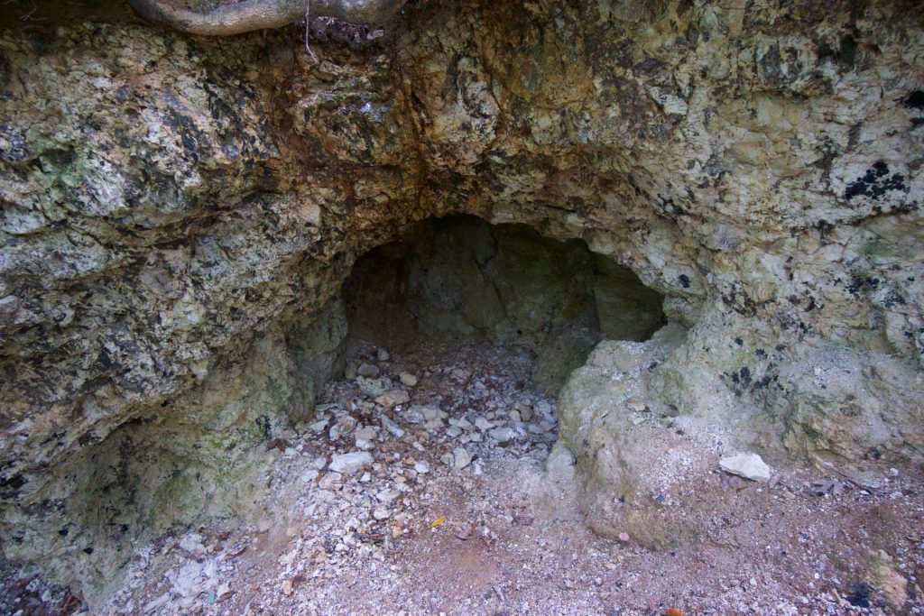
An interesting feature along this section is the old quarry, one of many that dot the forest here.  The Shenipsit passes next to one that I believe is called State Forest Quarry No. 1 and the trail has bits of mica sparkling underfoot.  Before the crash of my website in 2020 I had done some decent research into the history of the quarries here though what I wrote is now lost.  I hope to return to this page and “dig into it” again.

The trail then continues through rolling terrain crossing Carr Brook at about 1 mile from Woodchopper Rd which has a small cascade.  The waterfall is a stone slope that fans to a small and shallow pool.   The trail then heads uphill again and over Bald Hill.  Total distance out was 3.25 miles and that is as far as I’ve explored as of May 2020.

History:

The original 40 acre ‘Great Hill parcel’ was acquired by the state in 1917.  It was later rolled into the Meshomasic State Forest.


Links:

The information shown here is for general reference purposes only. exploreCT.org gives no warranty, expressed or implied, as to the accuracy or reliability of this data. Parking in all areas, whether designated here or not, is at your own risk. exploreCT.org is not responsible for any damage or loss to vehicles or contents.
Last updated May 25th, 2020

Visited 1597 times, 2 Visits today

Related Listings

Will Warren’s Den

★★★★☆

200 Colt Highway, Farmington, CT, USA

Metacomet: Will Warren’s Den Metacomet Blue Blaze Trail acres in Farmington and Plainville, CT Parking: Main parking north end: Medium pull-off 200 Colt Highway (Route 6), Farmington,… Read more…

Indian Well State Park

★★★★☆

41.342002, -73.124122

Indian Well State Park Connecticut State Park 153 acres in Shelton, CT Parking: Large lot near 1 Indian Well Rd, Shelton, CT and alternate/seasonal along the same… Read more…

Forster Pond State Park

★★★☆☆

41.360061, -72.584043

Forster Pond State Park Connecticut State Park 148 acres in Killingworth, CT Parking: Small lot near 360 CT-80, Killingworth, CT Trail Map       Trails: Less than…