Photos

Description

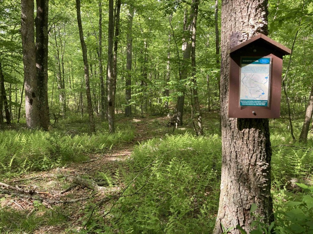
Shenipsit Trail: Dickinson Rd

Blue Blaze Trail and Connecticut State Forest

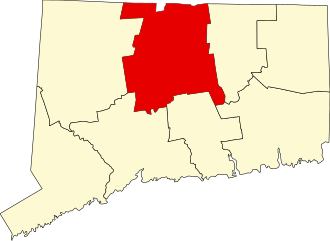
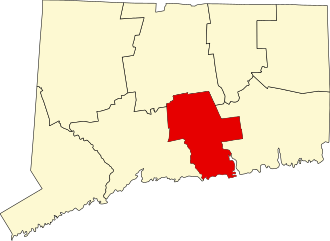
in East Hampton and Glastonbury, CT

Parking: Shoulder parking past 96 Dickinson Road, South Glastonbury, CT

Trail Map        Trails: 6 miles       Rating: ★★☆☆☆


This section of the Shenipsit Trail is contiguous with the southern terminus in that there is no defining feature/parking/or break between the two so it could be considered 1 nine-mile stretch between Gadpouch Rd and Dickinson Rd through parcels of the Meshomasic State Forest.

Heading south:

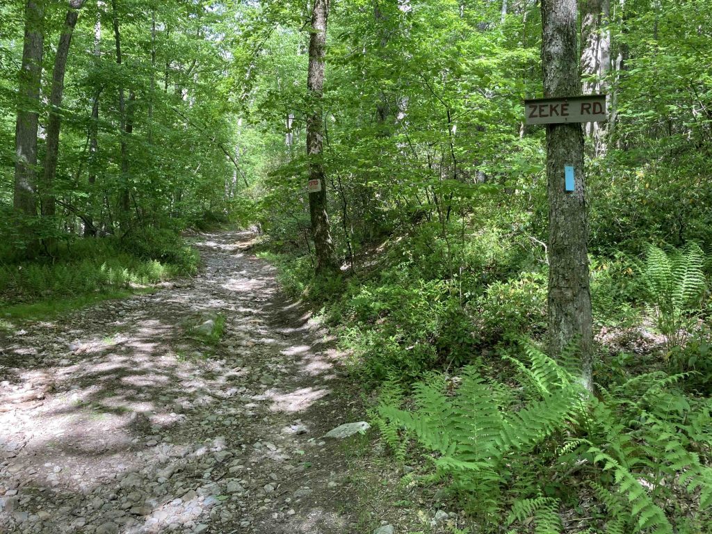
I ran this section south from Dickinson Rd and turned around about a mile shy of Bald Hill.  This section follows old roads built by the CCC that often divide private land and state forest.  First a dirt section of Dickinsin Road, then a rocky uphill section of Zeke Rd, then muddy Portland Reservoir Rd.

The first mile is well blazed with the new blue plastic bars, but beyond that you’ll need a careful eye for the faded paint blazes.  Since the trails are old roads they are easy to follow however there are a number of junctions and forks that require minimal navigation.

There are no real highlights along this stretch so it’s just a peaceful walk in the woods on rolling terrain.  The trail does appear to be used frequently by dirtbikes and ATVs and from the size of some of the tracks occasional heavy machinery.

Once you climb the forested Bald Hill, you’ll be in my section on the Southern Terminus.

Heading north:

The official route is a 2.8 mile road walk utilizing the paved section of Dickinson Road, Country Club Road, and Toll Gate Road to the Dark Hollow Section.

There is an abandoned stretch of trail here now largely hidden where the Shenipsit used to descend a rocky spine to Route 2 where you would run across both lanes.

History:

The official route used to require crossing over Rt. 2 which was likened to Frogger.  It was deemed too dangerous and the trail was rerouted with a road walk sometime around 2010.  In 2015, the CFPA attempted to get a ledge built in the culverts under Route 2 to avoid the 2.8 mile road walk, but the DOT shot the plan down.


Links:

CTMQ – Shenipsit Section 1 (2009)

Peter Marteka – Autumn Is Amazing For Strolls On The Shenipsit Trail (2000)

The information shown here is for general reference purposes only. exploreCT.org gives no warranty, expressed or implied, as to the accuracy or reliability of this data. Parking in all areas, whether designated here or not, is at your own risk. exploreCT.org is not responsible for any damage or loss to vehicles or contents.
Last updated June 11th, 2023

Visited 1449 times, 2 Visits today

Related Listings

Hopeville Pond State Park

★★★☆☆

Hopeville Pond State Park Connecticut State Park 554 acres in Griswold, CT Parking: Several parking areas near 931 Hopeville Rd Griswold, CT Trail Map       …

Belding Wildlife Management Area

★★☆☆☆

41.831035, -72.447298

Belding Wildlife Management Area Connecticut State WMA 282 acres in Vernon, CT Parking: Lots of shoulder parking near 3 Bread and Milk Rd Vernon, CT Shoulder parking…

Mount Higby

★★★★☆

41.539191, -72.744306

Mount Higby / Tynan Park Blue Blaze Trail and The Nature Conservancy in Middlefield and Middletown, CT Parking: North End: Small lot near 644 Country Club Rd,…