Site logo
    • Explore
      • Blue-Blaze Trails
      • Land Trusts
      • State Parks and Forests
      • By Town
    • exploreCT+
      • Membership
      • Shop
      • Events
    • Blog
    • Town Guides
    Sign in or Register
    Listing cover image

    Talmadge Tract

    • Trails
      5 miles
    • Rating
      ★★☆☆☆
    • Address
      RQR5+PX Willington, CT, USA
    • Explore
    • Trail Map
    • Reviews 0
    • New Page
    • prev
    • next
    • Bookmark
    • Share
    • Get directions
    • Report
    • prev
    • next
    At A Glance

    Talmadge Tract / UCONN Moss Forest / Royal Knowlton Preserve

    Willington Town Park / Blue Blaze Nipmuck Trail / UCONN

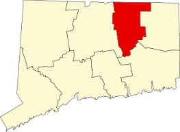
    602 acres in Willington, CT

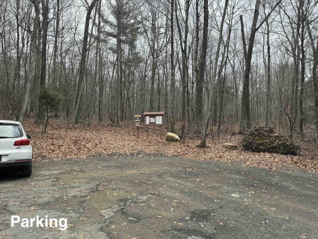
    Parking: Small lot near 100-, 298 Mason Rd, Willington, CT

    Trail Map            Trails: 4.75 miles      Rating: ★★☆☆☆

    For accuracy’s sake, I’ll preface this by saying that I’m including the UCONN Forest, this portion of the Nipmuck Trail, and the Royal Knowlton Property all under the Talmadge Tract heading, despite Talmadge likely being the least significant of the three.

    The entire section of trails between the Talmadge, UCONN forest, and Knowlton (including going to Rt 44 and back on the Nipmuck) is nearly five miles of hiking.  Most will likely hike about 3.5 miles on the main loop, skipping the “out and back” of this section of the Nipmuck.

    Hiking

    Talmadge Trail

    The Talmadge Spur Trail is only about a third of a mile that heads downhill through young forest and crosses a small unnamed feeder stream to the Fenton River. The trail connects down to the blue blaze Nipmuck Trail as it passes through a northern section of UCONN forest known as the Moss Tract/North Property.

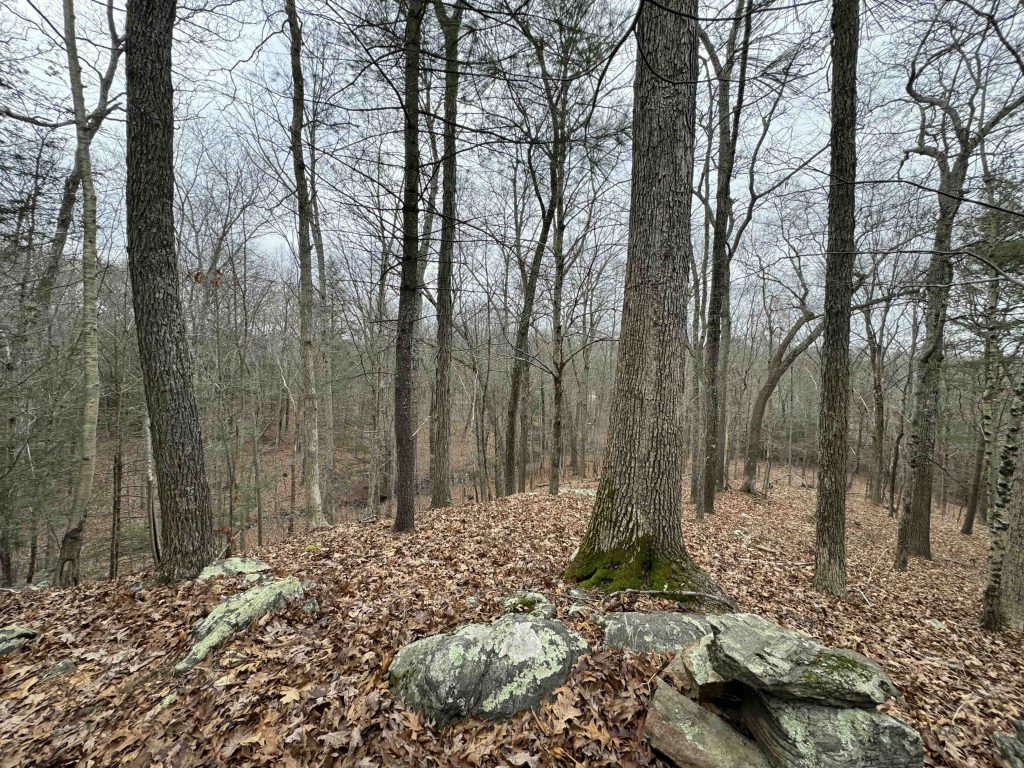
    A 1 mile lasso loop Split Rock Trail was added here in 2022, which works its way south.  The trail is still new and lightly traveled but a large hill rises before you as you near Rt. 44 I took a left at the fork in the trail and worked around the hill.  I was delighted to find a short spur up to the summit of this hill and while the view isn’t much through the trees the route choice was excellent.

    Nipmuck Trail

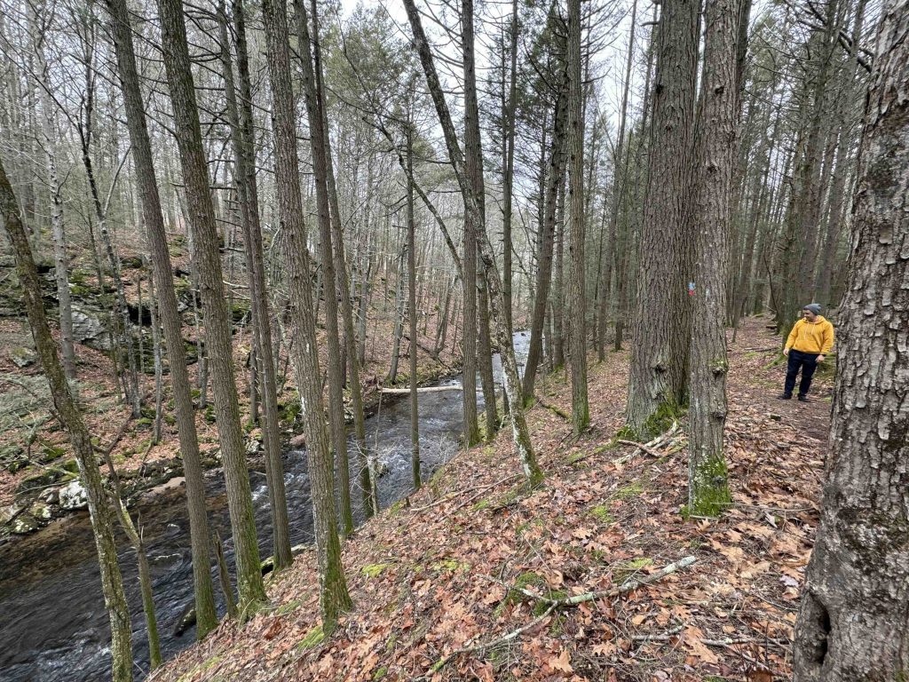
    Like much of the Nipmuck it follows the Fenton River north from Rt. 44.  After crossing the road the trail passes through an easement between houses and reaches the sandy edge of the river.  The landscape gains contour along the river valley banks with soft needles underfoot and small streams rushing towards the river.  The trail turns from the river and heads towards the 0.6 mile UCONN Loop Trail.

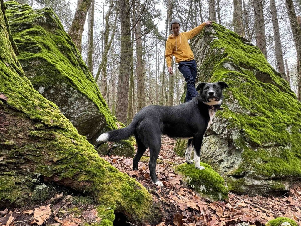
    The loop is the true highlight of the trails here.  A small ravine with striking rock formations is nestled inside a hemlock grove.  It is the kind of scene to stop and sketch while perched atop a mossy boulder.  The loop then climbs though old forest to rejoin the Nipmuck as it heads towards the Royal Knowlton Preserve.

    Next Section: Nipmuck Trail: Marsh Rd

    Previous Section: Road walk coming from the Fenton Tract

    Royal Knowlton Preserve

    The trail through the Royal Knowlton Preserve is an old forest road that eventually narrows to a rough path where the Nipmuck Trail was rerouted to access Mason Rd.  To complete the loop of the property jump on the short spur trail blazed in 2012 that loops back to the original parking area.

    History

    80 acres of the land was donated in 2005 by Daniel North and the town purchased an adjacent 28 acres for $125,000 on January 12th, 2006 with help from the DEEP, CFPA, and Joshua’s Trust.

    In 2011, the Town of Willington donated its conservation easement through the Royal Knowlton Preserve to the CFPA.

    UCONN acquired their nearly 300 acres in this area in December 1967 with an additional 96 acres formalized in 2010.

    Links

    Willington Conservation Commission – Conservation Commission Minutes 08/15/12

    Peter Marteka – Landowner Assits Town (2005)

    CFPA – Knowlton Trail Easement (archive link 2022)

    Tags
    • ★★☆☆☆
    • 2018
    • 2020
    • 2023
    • Explored
    • Nipmuck Trail
    • Tolland County
    • Willington
    Last Updated

    The information shown here is for general reference purposes only. exploreCT.org gives no warranty, expressed or implied, as to the accuracy or reliability of this data. Parking in all areas, whether designated here or not, is at your own risk. exploreCT.org is not responsible for any damage or loss to vehicles or contents. Last updated: December 31, 2023

    Trail Map
    Location
    • RQR5+PX Willington, CT, USA

      Get Directions
    Gallery
    Categories
    • Hiking
    Gallery
  • No comments yet.
  • Add a review

    Leave a Reply · Cancel reply

    Your email address will not be published. Required fields are marked *

    Overall Rating

    You May Also Be Interested In

    Spruce Brook Falls

    • ★★★★★
    • 16 miles
    Featured
    FW6F+CW Beacon Falls
    • Quick view
    • Bookmark

    Thach Preserve

    • ★★☆☆☆
    • 1 miles
    123 Brush Hill Rd
    • Quick view
    • Bookmark

    Mendell's Folly

    • ★★★★☆
    • 3.8 miles
    390 Beacon Rd
    • Quick view
    • Bookmark

    Hi, I’m Matt.

    I’m building ExploreCT to be the guide for all your outdoor adventures. All the trails, views, and waterways this great state has to offer.

    Now get out and explore!

    Monthly Newsletter

    Each month I share site updates or an interesting article in my newsletter. It’s short, sweet, and practical.

    600+ explorers read it, I’d love for you to join.

    Thank you!

    You have successfully joined our subscriber list.

    X-twitter Youtube Envelope Instagram

    Cart

      • Facebook
      • X
      • WhatsApp
      • Telegram
      • LinkedIn
      • Tumblr
      • Reddit
      • VKontakte
      • Mail
      • Copy link
      • Share via...
      • Threads
      • Bluesky