Photos

Description

Quaddick State Forest

Connecticut State Forest

1,109 acres in Thompson, CT

Parking:

Trail Map            Trails: 1 mile        Rating: ★★☆☆☆


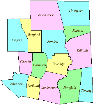
This state forest is broken in five blocks: two in Thompson, two in Putnam, and one in Killingly.  I don’t imagine there is much to explore at the Putnam or Killingly blocks though they total nearly 600 acres.  This page will (at least for now) will focus on the two Thompson blocks in the image above located north of Quaddick State Park.

So far I’ve only explored the eastern block on either side of Quaddick Town Farm Rd.  There are old forest roads and a letterbox opportunity west of the road.  For clues check this link to the DEEP’s Letterbox Seedling Series.

The larger section east of Town Farm Road can be explored by parking at the end of the pavement on Wakefield Pond Road.  From here the road becomes unimproved and is popular with off-road vehicles so be sure to leave enough room for those to pass by when parking.

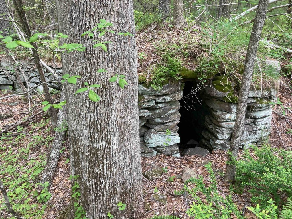
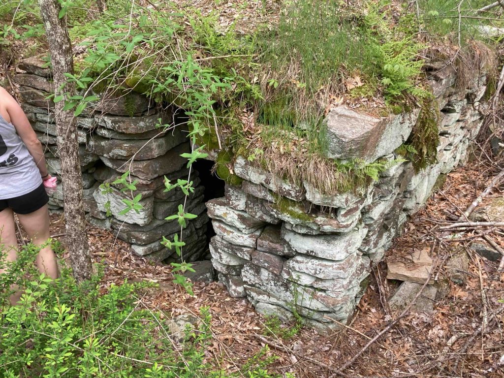
The dirt road only passes through the forest for about a mile and is unfortunately an occasional dumping ground.  I did a trash and can pickup during my hike in 2021 filling up a couple trash bags over the mile stretch.  The two things of note are an old foundation with a chimney base complete with what’s likely a root cellar which was fun to poke around.  The second is access to Buck Hill Scout Reservation and Wakefield Pond.  I looped back along the pond and took camp trails back to Wakefield Pond Road.

The western block has a similar situation with the unimproved Totem Pole Road between Baker and Brandy Hill Roads.

History:

Established as a state forest in 1942 with the original purchase of 496 acres.


Links:

The information shown here is for general reference purposes only. exploreCT.org gives no warranty, expressed or implied, as to the accuracy or reliability of this data. Parking in all areas, whether designated here or not, is at your own risk. exploreCT.org is not responsible for any damage or loss to vehicles or contents.
Last updated May 16th, 2021

Visited 1858 times, 5 Visits today

Related Listings

Talcott Mountain

★★★★★

41.835607, -72.791504

Talcott Mountain Connecticut State Park 574 acres in Avon, Bloomfield, and Simsbury, CT Parking: Lots of parking near 560 Simsbury Rd, Bloomfield, CT Trail Map     …

Dinosaur Caves

★★☆☆☆

41.532688, -71.792088

Narragansett: Dinosaur Caves Connecticut State Forest and Blue Blaze Trail 200 acres in Voluntown, CT Parking: Small lot on Camp Yawgoog Rd, Rockville, RI Trail Map   …

Tankerhoosen WMA

★★☆☆☆

41.841233, -72.445106

Tankerhoosen Wildlife Management Area Connecticut WMA 449 acres in Vernon, CT Parking: From the north at Walker’s Reservoir near 129 Reservoir Rd, Vernon, CT From the south… Read more…