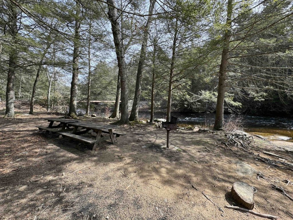
Natchaug State Forest
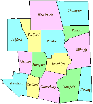
13,438 acres in Chaplin, Eastford, and Hampton CT
Parking: Plenty of parking down the road near 243 Chaplin Rd Eastford, CT
Trail Map Trails: 18.99 miles Rating: ★★★☆☆
There is a huge network of trails for hiking, swimming and fishing along the Natchaug River, designated horse trails and camp, a backpacking campsite, and boating/fishing opportunities at Hampton Reservoir.
The forest has access to Goodwin State Forest via the blue blaze Natchaug Trail, a connection to the Air Line Trail, encompasses a historic site at Nathaniel Lyon State Park,
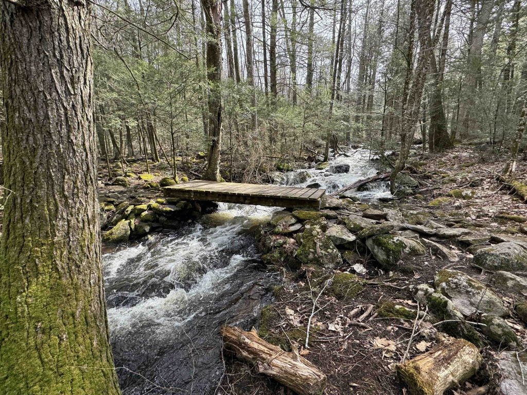
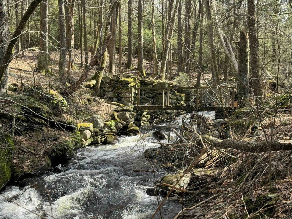
Trail highlights include the CCC camp ruins along the yellow/blue loop, mill ruins along the Natchaug Trail, Beaver Dam Marsh, and miles of hemlock groves, rolling terrain, and small stream crossings.
Hiking
Note the trail map above was created in 2009 and has become outdated over the last 15 years.
- Blue Natchaug Trail – 6 miles
- Next Section: Lyon Road
- Previous Section: Morey Road
- Yellow/Blue CCC Loop – ~5 miles
- Starting over the closed bridge across from the picnic areas next to Rt 198 the yellow and blue blazed CCC trail turns off the abandoned road into the thick pines. It crosses a couple boardwalk bridges over small streams before following the Natchaug River for a stretch. The trail turns away from the river at old picnic table inscribed with:
“Every decade this river floods that’s how this picnic table got here. To keep it from being washed away please do not move it. It would only be replaced if another flood washes one down“
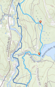
- Once leaving the river the trail enters the rolling glacial terrain climbing up hills and back down towards the river a handful of times. Eventually it reaches an unnamed dirt road, the trail map (above) here shows the blazes following the road, but instead it crosses the road heading west (see map below) through rocky forest to join the blue blaze Natchaug Trail. These two trails overlap for a couple miles until around Lyon State Park where the yellow/blue works its way back to the old bridge.
- This map gives a better indication of the full loop (dark blue = yellow/blue blazes and light blue = Natchaug Trail blue blazes)
- Starting over the closed bridge across from the picnic areas next to Rt 198 the yellow and blue blazed CCC trail turns off the abandoned road into the thick pines. It crosses a couple boardwalk bridges over small streams before following the Natchaug River for a stretch. The trail turns away from the river at old picnic table inscribed with:
- Orange Multi-Use Trail – 6 miles
- A designated horseback riding route utilizing mainly old forest roads and crosses two horse camps. I have not explore these myself
Swimming
There are a number of small swimming holes each with picnic areas along the Natchaug River.
History:
Established as a state forest in 1917.
Links:
The information shown here is for general reference purposes only. exploreCT.org gives no warranty, expressed or implied, as to the accuracy or reliability of this data. Parking in all areas, whether designated here or not, is at your own risk. exploreCT.org is not responsible for any damage or loss to vehicles or contents.
Last updated March 25th, 2024
Visited 4548 times, 1 Visits today