Site logo
    • Explore
      • Blue-Blaze Trails
      • Land Trusts
      • State Parks and Forests
      • By Town
    • exploreCT+
      • Membership
      • Shop
      • Events
    • Blog
    • Town Guides
    Sign in or Register
    Listing cover image

    Merrow Meadow

    • Trails
      1 miles
    • Rating
      ★★☆☆☆
    • Address
      113 Merrow Rd, Coventry, CT 06238, USA
    • Explore
    • Trail Map
    • Reviews 0
    • New Page
    • prev
    • next
    • Bookmark
    • Share
    • Get directions
    • Report
    • prev
    • next
    At A Glance

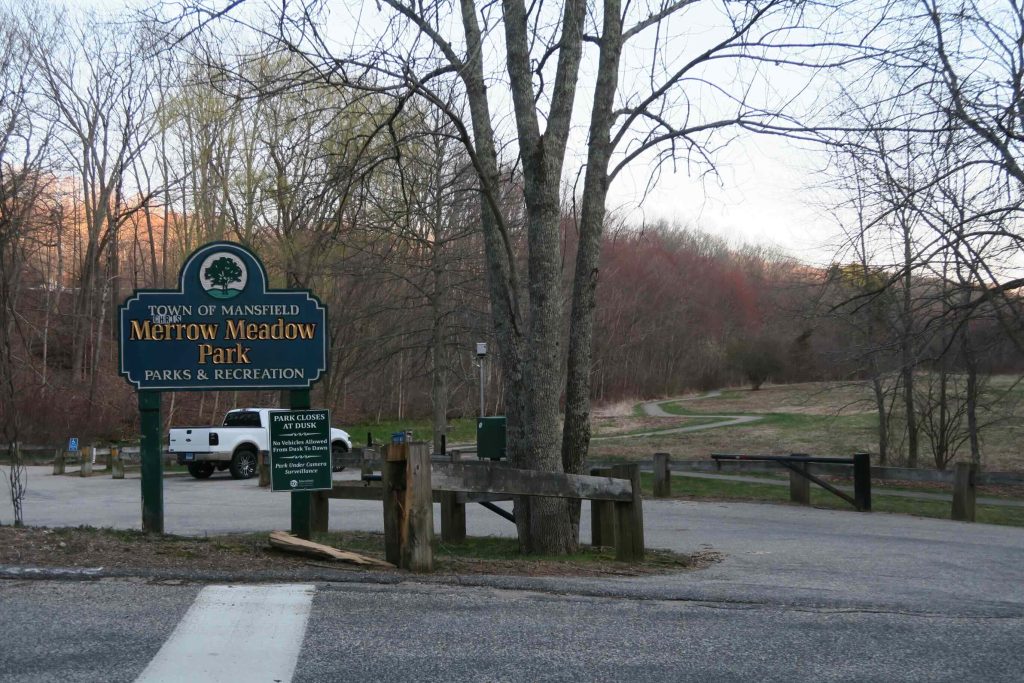
    Mansfield Town Park

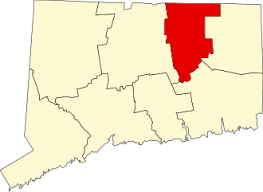
    33 acres in Mansfield, CT

    Parking: Small lot near 13 Merrow Rd, Storrs, CT

    Trail Map         Trails: Less than a mile        Rating: ★★☆☆☆

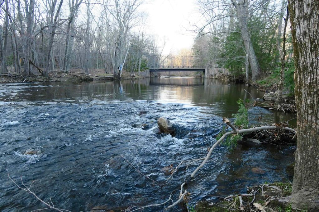
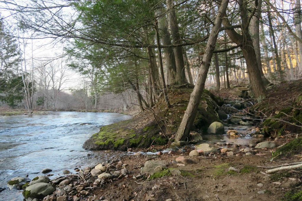
    Merrow Meadow is bordered on the west by the Willimantic River and the Central Vermont Railroad tracks to the east.  It is a very popular park for locals and those looking for an easy stroll.

    Hiking

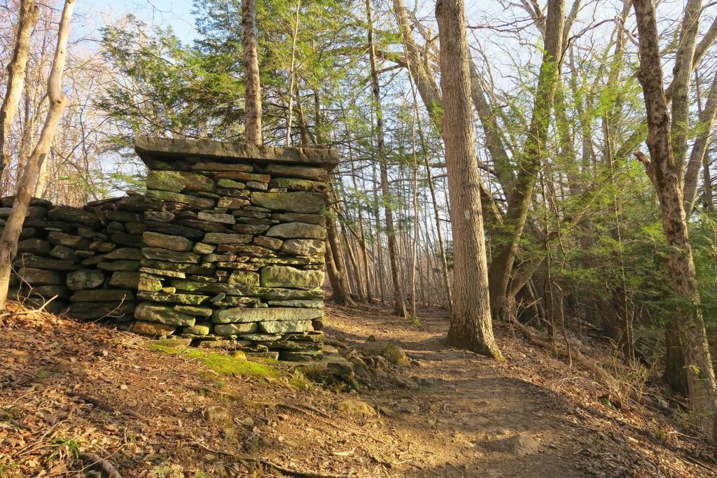
    Merrow Meadow has just over a half mile of trails with one loop that is paved for accessibility. The paved loop runs around the ‘old field’ marked on the trail map with and provides access to a small platform with views of a red maple swamp. There are also short dirt paths along the water’s edge that are often muddy which loop back to the paved path. 

    There are numbered posts along the trails which correspond to points of interest detailed in the trail guide.

    The property is also a link in the Willimantic River Hiking Trail a hiking trail that runs along the river from River Park in Mansfield to the Becker Conservation Area in Tolland. The Merrow Meadow section is particularly nice with with both views from high banks to secluded spots right at the waters edge.  Crossing the bridge north of the park leads to the Riverview Trail.  Heading south leads to the Spring Manor section which was largely blocked by stumps, large branches, and overgrowth on my last visit in 2018.

    History

    Preserved in 1990 when it was donated by the Merrow family.  It opened to the public in 1998.  From the Willimantic River site,

    The meadow provided hay for the family farm, which extended along the south side of Merrow Road up to the former farm’s house and barn on Route 32. The north side of Merrow Road was developed as a mill village. The former Merrow mill was upstream on a bluff above the river. This mill began as a gunpowder mill in 1811. After several explosions, the Merrows turned to a safer product in 1832 – knitted underwear. Although the mill was destroyed by fire in 1887, and a subsequent sawmill was also destroyed, the village still remains. Look for the former boarding house by the railroad tracks, a former home and store (converted to a restaurant), and more mill houses as you drive back to Route 32.

    Links

    Peter Marteka – In Cold Weather This Small Preserve In Mansfield Is Ideal (2009)

    Peter Marteka – Great Summer Escape Route (2004)

    Willimantic River Greenway – Map

    Willimantic River Trail

    Tags
    • ★★☆☆☆
    • 2016
    • 2019
    • Explored
    • Mansfield
    • Peter Marteka
    • Tolland County
    • Willimantic River Hiking Trail Guide
    • Willimantic River Paddler's Guide
    Last Updated

    The information shown here is for general reference purposes only. exploreCT.org gives no warranty, expressed or implied, as to the accuracy or reliability of this data. Parking in all areas, whether designated here or not, is at your own risk. exploreCT.org is not responsible for any damage or loss to vehicles or contents. Last updated July 16, 2018

    Trail Map
    Location
    • 113 Merrow Rd, Coventry, CT 06238, USA

      Get Directions
    Gallery
    Categories
    • Hiking
    • Boating
    • Fishing
    Gallery
  • No comments yet.
  • Add a review

    Leave a Reply · Cancel reply

    You must be logged in to post a comment.

    You May Also Be Interested In

    Spruce Brook Falls

    • ★★★★★
    • 16 miles
    Featured
    FW6F+CW Beacon Falls
    • Quick view
    • Bookmark

    White Oak Preserve

    • Unexplored
    • 0.2 miles
    600 Raymond Hill Rd
    • Quick view
    • Bookmark

    Woodlands Nature Preserve

    • Unexplored
    • 0.5 miles
    99 Beacon Hill Dr
    • Quick view
    • Bookmark

    Hi, I’m Matt.

    I’m building ExploreCT to be the guide for all your outdoor adventures. All the trails, views, and waterways this great state has to offer.

    Now get out and explore!

    Monthly Newsletter

    Each month I share site updates or an interesting article in my newsletter. It’s short, sweet, and practical.

    600+ explorers read it, I’d love for you to join.

    Thank you!

    You have successfully joined our subscriber list.

    X-twitter Youtube Envelope Instagram

    Cart

      • Facebook
      • X
      • WhatsApp
      • Telegram
      • LinkedIn
      • Tumblr
      • Reddit
      • VKontakte
      • Mail
      • Copy link
      • Share via...
      • Threads
      • Bluesky