Photos

Description

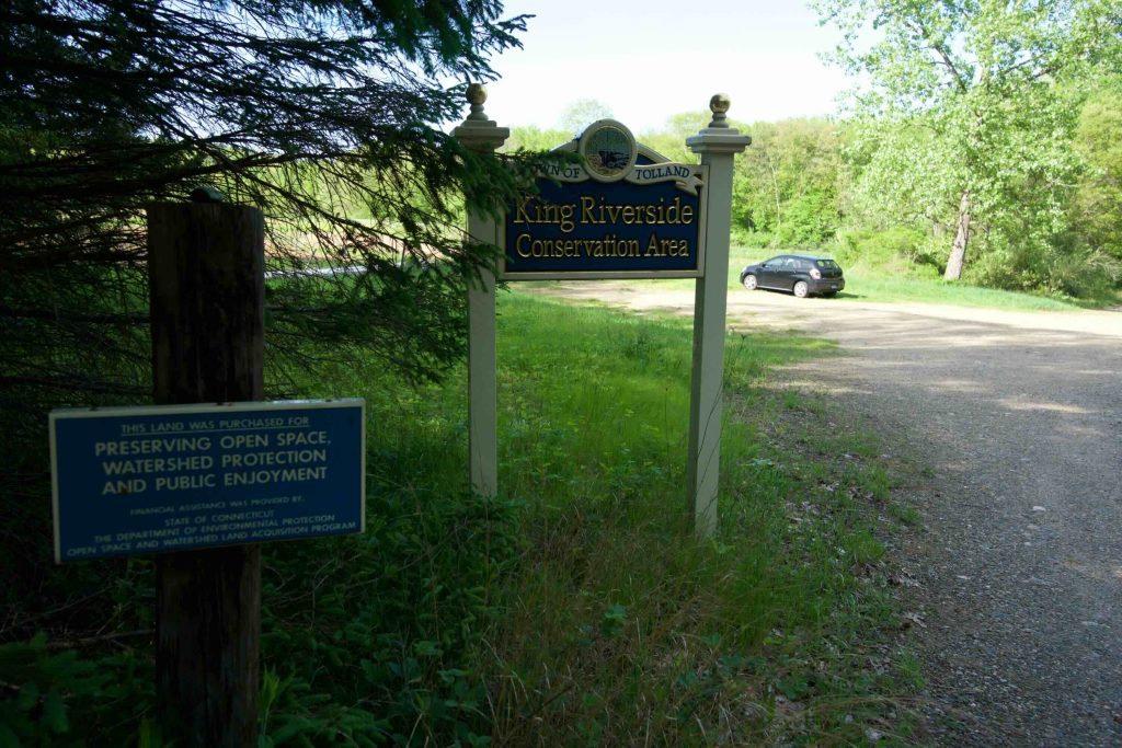
King Riverside Conservation Area

Tolland Town Park

30 acres public access, 173 total in Tolland, CT

Parking: Medium sized lot near 15 Dimock Road Tolland, CT

Trail Map         Trails: 1.2 miles      Rating: ★★☆☆☆


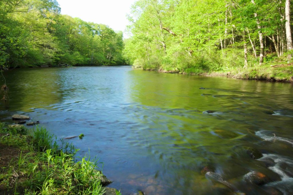
The King Riverside Conservation Area contains a 1.2 mile yellow blazed trail that runs along the Willimantic River.  This trail is part of the Willimantic River Hiking Trail running from Mansfield to Tolland.  The trail comes from Riverview Trail Park in Coventry after a road walk and the hike connects north through the Nedweid Conservation Area.

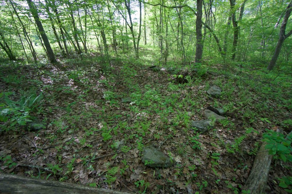
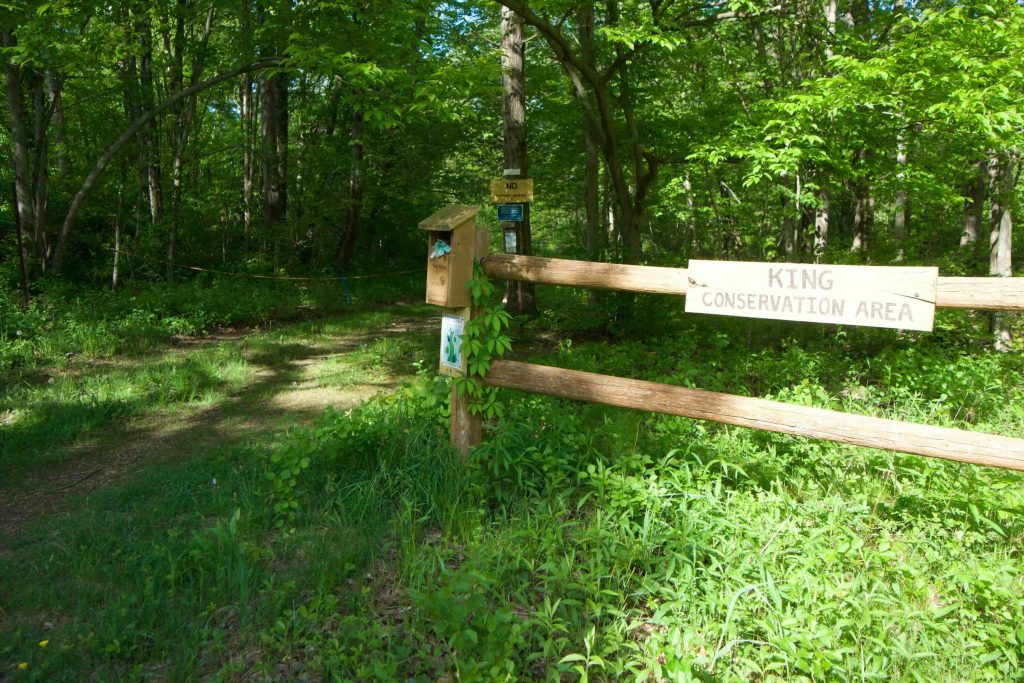
The trail starts off on an old cart path but quickly heads off into the woods.  After a brief marshy area, the trail hits the Willimantic River following it for the rest of the property.  There are two areas with benches (sponsored by local businesses) right on the river.  At the second benches’ location is the location of Peck’s Mill and just up the hill is the foundation of the District IV schoolhouse.  Neither is much to look at but are a nice pause on the trail.  The trail then rejoins the cart path until crossing the bridge into Nedweid.

From the town’s website,

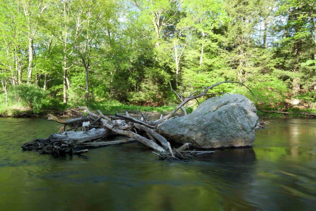
“The property contains wetlands, farmland, and forest. Diverse river habitat, small brooks, floodplain forest, forested swamp, upland oak forest, mixed conifer and oak forest, ledge outcrops, open field, scrub upland, marsh and wet meadow can be found on the property, providing habitat for a wide variety of wildlife. The Willimantic River offers great fishing opportunities.  A large, old red oak exists on the southern boundary wall at the start of the trail. Midway on the trail is a marker for a historic mill site. The northern part of the trail has a beautiful grove of mountain laurel. At the northerly border, a bridge continues the trail over Newcomb Brook.”

History:

Established as a conservation area in 2007 when the land was purchased from the King family.


Links:

The information shown here is for general reference purposes only. exploreCT.org gives no warranty, expressed or implied, as to the accuracy or reliability of this data. Parking in all areas, whether designated here or not, is at your own risk. exploreCT.org is not responsible for any damage or loss to vehicles or contents.
Last updated July 15, 2018

Visited 1512 times, 6 Visits today

Related Listings

Williams Preserve

★★☆☆☆

41.787645, -72.299129

Williams Preserve Coventry Town Park 55 acres in Coventry, CT Parking: Small pull-off near 179 Cooper Ln Coventry, CT Trail Map          Trails: 2…

Valley Falls

★★★☆☆

300 Valley Falls Rd, Vernon, CT 06066, USA

Valley Falls Park / Andrew Kenneth Webster Preserve Vernon Town Park and Northern Connecticut Land Trust 196 acres in Vernon, CT Parking: Large lot near 300 Valley…

Cotton Hollow

★★★★☆

41.664113, -72.585052

Cotton Hollow Preserve Glastonbury Town Park 83 acres in Glastonbury, CT Parking: Main Area: Medium sized lot for near 501 Hopewell Road Glastonbury, CT Western Area: Small…