
Willimantic River
Trail at a Glance
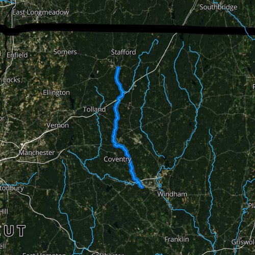
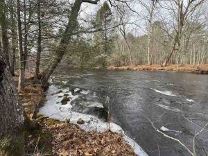
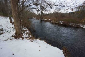
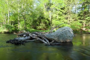
The Willimantic River runs 25 miles from near Stafford Springs to where it joins the Natchaug River past Willimantic to form the Shetucket River.
There are a number of parks (listed below) along the river which offer a mix of hiking, boating, and even swimming.
The Willimantic River Paddlers Trail can take you 22.5 miles from Stafford Springs to Willimantic. It was designated a National Recreation Trail in 2012. There is one portage at the Eagleville Dam.
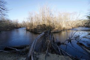
Whitewater – American Whitewater cites two stretches:
- 1. Eagleville Dam to Bridge Street – Class I-II – This one is a popular flatwater float
- 2. Bridge St. to the Thread Mill – Class III-IV – A Willimantic group is trying to build a whitewater park here though progress has been slow and given the three dams in this stretch it is currently un-runnable
Hiking
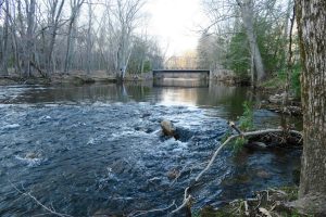
About a dozen parks offer trails along the river including sections of the Air Line Trail and Hop River Trail.
There is a 7 mile multi-town hiking trail which currently runs from Mansfield to Tolland. I hiked the length of this long trail in spring 2021.
Section List
- Mile 0.0 – Stafford Springs Commuter Lot — (Parking Link)
- Mile 4.3 – Cole Wilde Trout Management Area — (Parking at Willington I-84 Rest Stop)
- Mile 5.9 – Nye-Holman State Forest — (Parking Link)
- Mile 6.5 – Heron Cove Park — (Parking Link)
- Mile 10.8 – Merrow Meadow Park — (Parking Link)
- Mile 13.7 – River Park (Mansfield) — (Parking Link)
- Mile 15.1 – Portage at Eagleville Dam Eagleville Preserve — (Parking Link)
- Mile 21.4 – Not a great launch, but paddlers can take out at the bridge near Mackey’s, the official take out is on the western side of the bridge — (Parking Link)
{{locationDetails}}
