Tinkerville Brook

Joshua’s Trust Preserve

42 acres in Ashford, CT

Parking: Small pull-off near 135 Armitage Rd, Ashford, CT

Trail Map         Trails: 1.2 miles    Rating: ★★☆☆☆


Tinkerville Brook is a short hike that still manages to wow hikers.  The trail is a 1.2 mile narrow lollipop loop with classic yellow Joshua’s Trust blazes that partially follows its namesake brook.

Hiking

From the parking area the trail descends into the forest soon passing between the rusted frame of some old farm equipment and tiny man-made pond.  The terrain is gradually hilly with many opportunities to see interesting fungi on fallen trees and amidst the plants.

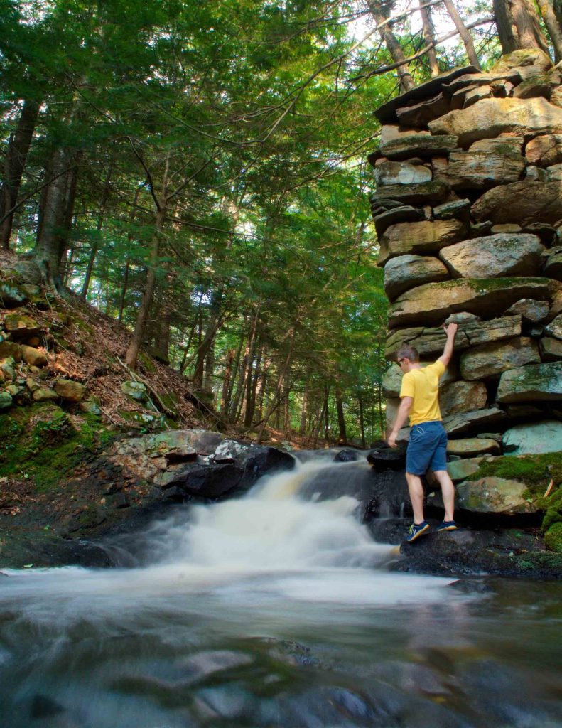
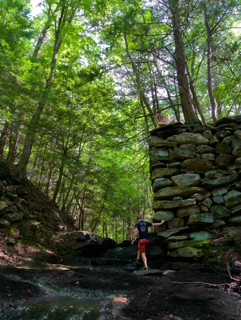
The highlight of the hike is the ruins of the bridge and possible mill site (see history section below) where the brook passes down a set of small cascades into a wide pool.  The trail leads right to the top of the bridge abutment and careful navigation will get you to its base.

The trail forks just after the ruins with the right fork following the brook down about 1500 feet to Bissonette Pond.  It is possible to get a view of the pond by pushing through the growth where the trail turns though it isn’t particularly impressive.  The trail then winds its way back to the fork.

History:

Preserved in 1990.  The name comes from Tinkerville Brook which flows through the property on its way to Bissonette Pond.  The name of the brook is attributed to the gypsies (also known as tinkers) who lived seasonally along the brook and worked at nearby mills.  The bridge abutment ruins were the path of the “Spalding Carding Machine Road” which was discontinued by Ashford town vote on October 5th, 1846.  There is also evidence of a number of mills along the banks of the ravine here.


Links:

Peter Marteka – Westford’s TInkerville Brook Offers Much to Explore (2009)

Dodd, Samuel G. Joshua’s Tract Walk Book 4th Edition. 2005. pg. 142.

The information shown here is for general reference purposes only. exploreCT.org gives no warranty, expressed or implied, as to the accuracy or reliability of this data. Parking in all areas, whether designated here or not, is at your own risk. exploreCT.org is not responsible for any damage or loss to vehicles or contents.
Last updated August 6th, 2017

Visited 2821 times, 1 Visits today

Related Listings

Rankin Preserve

★★☆☆☆

109 Westford Rd, Ashford, CT 06278

Rankin Preserve Joshua’s Trust Land Trust 81 acres in Ashford, CT Parking: Shoulder parking near 69 Westford Rd Ashford, CT Trail Map           Trails: 1.3…

The Preserve

Unexplored

41.320698, -72.406485

The Preserve Essex Land Trust, Old Saybrook Town Park, State Forest 963 acres in Essex, Old Saybrook, and Westbrook, CT Parking: Essex Parking: Small lot at the… Read more…

Pappenheimer Preserve

★★☆☆☆

41.659111, -72.088545

Pappenheimer Preserve Joshua’s Trust 102 acres in Scotland, CT Parking: Shoulder parking 584 Devotion Rd, Baltic, CT Trail Map         Trails: 1.5 miles     …