Site logo
    • Explore
      • Blue-Blaze Trails
      • Land Trusts
      • State Parks and Forests
      • By Town
    • exploreCT+
      • Membership
      • Shop
      • Events
    • Blog
    • Town Guides
    Sign in or Register
    Listing cover image

    Schindler/Schmidt Conservation Area

    • Trails
      4 miles
    • Rating
      ★★☆☆☆
    • Address
      344 Sugar Hill Road, Tolland, CT, USA
    • Explore
    • Trail Map
    • Reviews 0
    • New Page
    • prev
    • next
    • Bookmark
    • Share
    • Get directions
    • Report
    • prev
    • next
    At A Glance

    Tolland Town Park

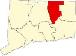
    123 acres in Tolland, CT

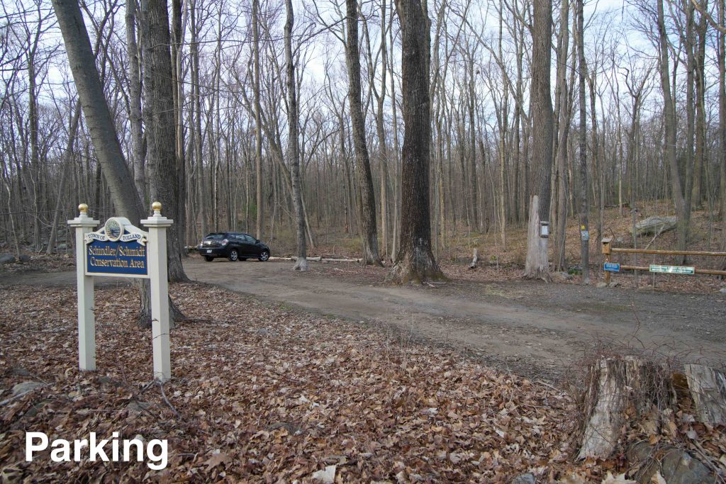
    Parking: Shoulder parking near 344 Sugar Hill Road Tolland, CT

    Trail Map         Trails: 3.8 miles         Rating: ★★☆☆☆

    From the town’s site,

    “The property contains a number of valuable resources. There is a mature interior Oak-Hickory upland forest that has not been logged in over 90 years. There are also many hemlock and chestnut trees. It is a critical part of a biologically diverse forest. There are two unique bogs: one an open bog and the other a scrub/shrub bog. The latter provides an opportunity to view sundews and pitcher plants in their natural habitat.  The dense forest with bogs, caves, and rocky outcrops is suitable for amphibians, hawks, woodcocks, foxes, bobcats, and bears. There is numerous evidence of bears, fisher cats and nesting owls.

    Hiking

    The Schindler/Schmidt Conservation Area has 3.8 miles of trails.  The longest trail is the 1.4 mile ridge trail that is part of Sugar Hill.

    I started off by hiking the 1.8 mile yellow-blazed outer loop which begins just after the boardwalk next to the parking area.  It makes it way to the top of a rocky formation and splits into the loop.  Many of the trails appear to be old roads through the property so much if it is fairly easy walking.  I soon reached the side trail that heads towards Scenic Rock.

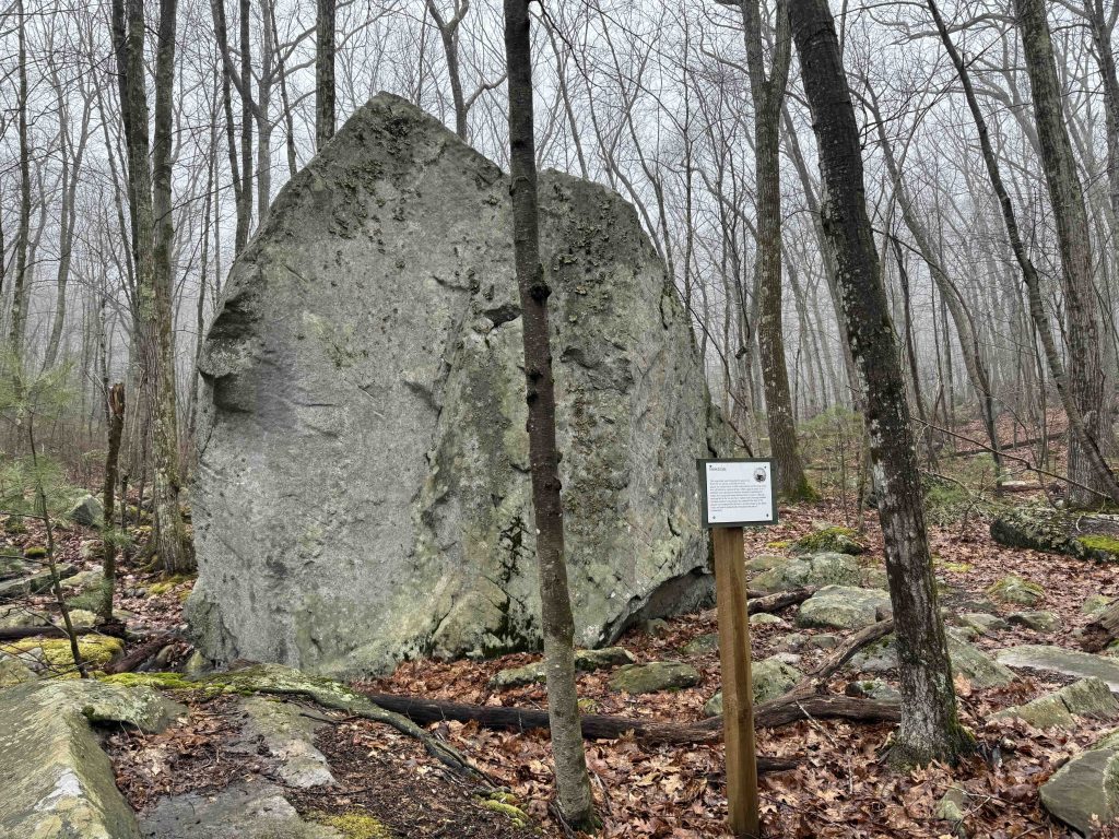
    Had I read the info on my own page I would have remembered that the town notes, “…please be aware that the “Scenic Rock” is located on private property. At this point, visitors may not trespass. We thank you for your cooperation.”  The rock itself is on private property, you’ll know this because the trail follows the boundary blazes and a line of No Trespassing signs.  At the end is a good sized rock with a long curved section broken off.  It’s mildly interesting, but not quite worth the walk or the apparently contentious relationship with the adjacent landowner.

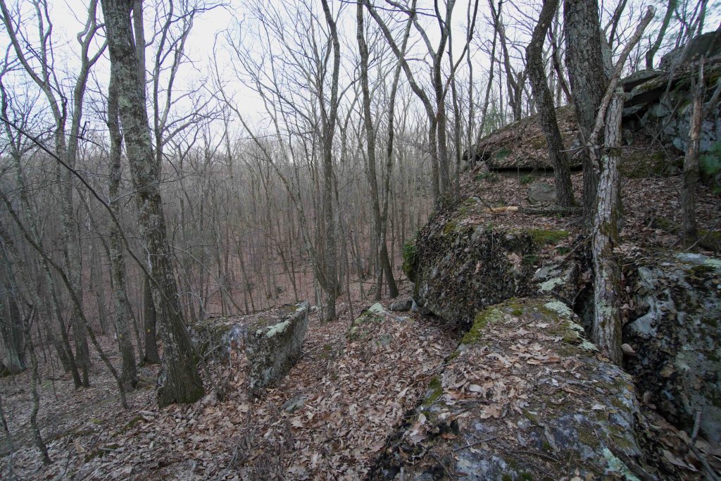
    Back on the yellow trail I continued towards the backside of the loop.  Rounding a bend you come within sight of two massive stone covered hills and reach the red blazed trail marked ‘steep’ on the map.  Based on the rocky hills, the impressive exit trail, and the named ‘Ridges Trail’ I was afraid I was missing all the best hiking so I abandoned the red trail and hiked up the steep rocky face.

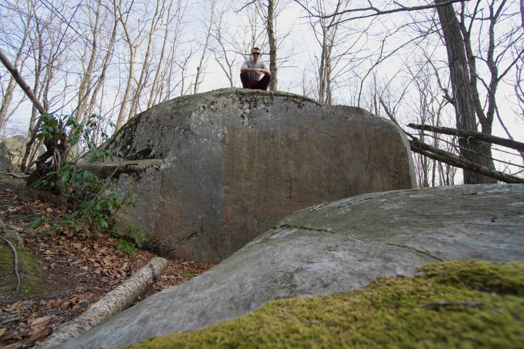
    Unfortunately, (at least for me) the Ridges Trail winds its way between the ridges instead of climbing along their spines so all the interesting rock formations are either off to your left or right.  Once I reconnected with the yellow trail I hiked a bit up the unexplored side with nothing to note and soon turned around. On my second visit I explored this second half of the yellow loop climbing once again among the rocks. After a bit the trail again returns to old woods roads and an odd very brief reroute around a large rock. At the backside of the loop there were several more great rock features, easily my favorite part of the trails here and I'm sorry to have missed them on my first visit.

    The backside of the loop can connect to Kendall Mountain where a short road walk brings you to Palmer Kendall Mountain.

    History

    Established as a conservation area in 2007, the town’s site notes, “Cranberries were cultivated in the bog area in the 1800s.”

    It was purchased in two parcels from Alfred and Shirley Schindler and William and Rhoda Schmidt, a brother and sister and their spouses, with assistance from a grant from the State of Connecticut Open Space and Watershed Land Acquisition program administered by the Connecticut Department of Energy and Environmental Protection.

    Links

    Peter Marteka – A Walk in the Wilds of Tolland (2009)

    Tags
    • ★★☆☆☆
    • 2021
    • 2025
    • Explored
    • Peter Marteka
    • Tolland
    • Tolland County
    Last Updated

    Last updated: March 30th, 2025 The information shown here is for general reference purposes only. exploreCT.org gives no warranty, expressed or implied, as to the accuracy or reliability of this data. Parking in all areas, whether designated here or not, is at your own risk. exploreCT.org is not responsible for any damage or loss to vehicles or contents.

    Trail Map
    Location
    • 344 Sugar Hill Road, Tolland, CT, USA

      Get Directions
    Gallery
    Categories
    • Hiking
    Gallery
  • No comments yet.
  • Add a review

    Leave a Reply · Cancel reply

    Your email address will not be published. Required fields are marked *

    Overall Rating

    You May Also Be Interested In

    Spruce Brook Falls

    • ★★★★★
    • 16 miles
    Featured
    FW6F+CW Beacon Falls
    • Quick view
    • Bookmark

    Thach Preserve

    • ★★☆☆☆
    • 1 miles
    123 Brush Hill Rd
    • Quick view
    • Bookmark

    Mendell's Folly

    • ★★★★☆
    • 3.8 miles
    390 Beacon Rd
    • Quick view
    • Bookmark

    Hi, I’m Matt.

    I’m building ExploreCT to be the guide for all your outdoor adventures. All the trails, views, and waterways this great state has to offer.

    Now get out and explore!

    Monthly Newsletter

    Each month I share site updates or an interesting article in my newsletter. It’s short, sweet, and practical.

    600+ explorers read it, I’d love for you to join.

    Thank you!

    You have successfully joined our subscriber list.

    X-twitter Youtube Envelope Instagram

    Cart

      • Facebook
      • X
      • WhatsApp
      • Telegram
      • LinkedIn
      • Tumblr
      • Reddit
      • VKontakte
      • Mail
      • Copy link
      • Share via...
      • Threads
      • Bluesky