River Park & Becker Conservation Area
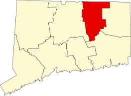
60.85 combined acres in Tolland, CT
Parking: Large lot near 461 South River Road, Tolland, CT
Trail Map Trails: 1 mile Rating: ★★☆☆☆
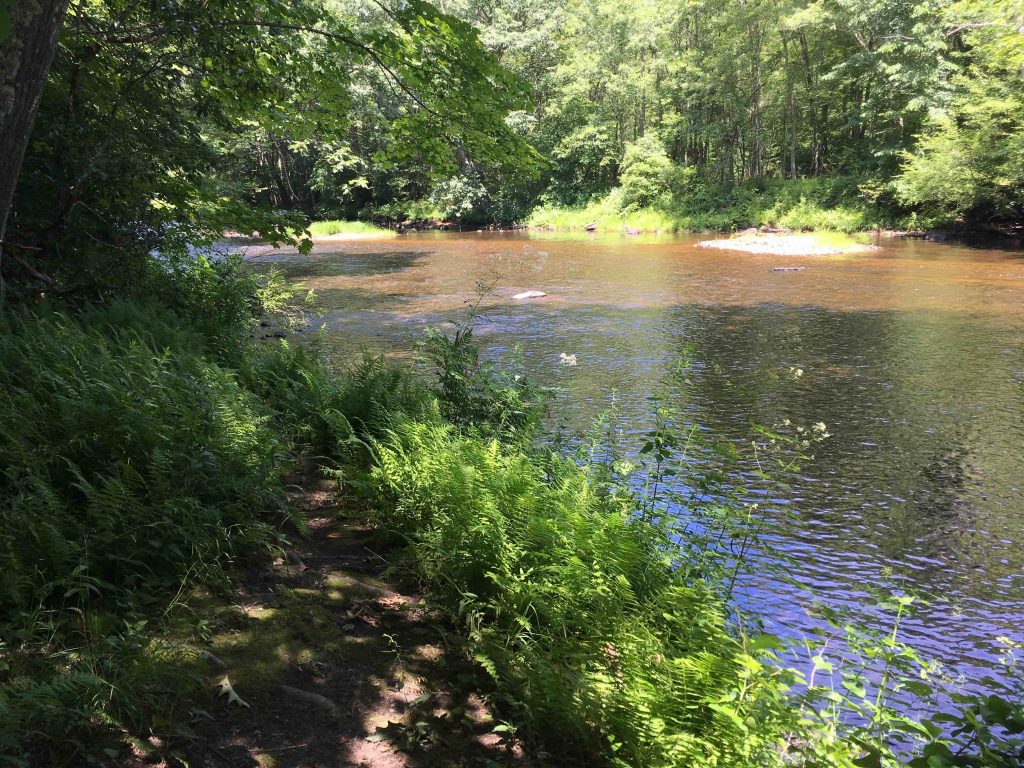
River Park and the Becker Conservation Area are adjacent properties that contain a short loop that also serves as the current terminus of the Willimantic River Hiking Trail. There are only a couple open views of the water and ironically, River Park has no direct access to the Willimantic River. If you’re looking for a boat launch head to nearby Heron Cove. What is termed 1,200 feet of ‘accessible frontage’ on the town site translates to, “you could get down there, but we aren’t going to help you”.
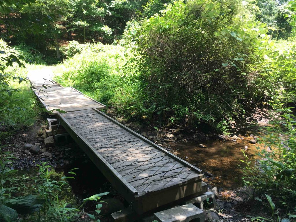
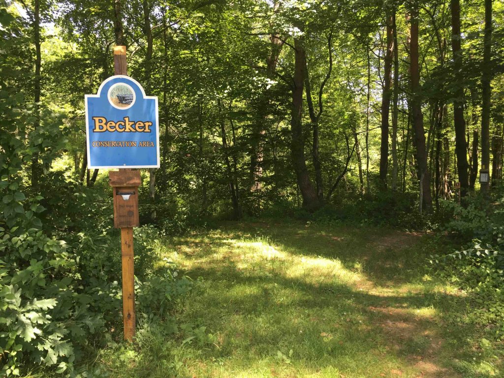
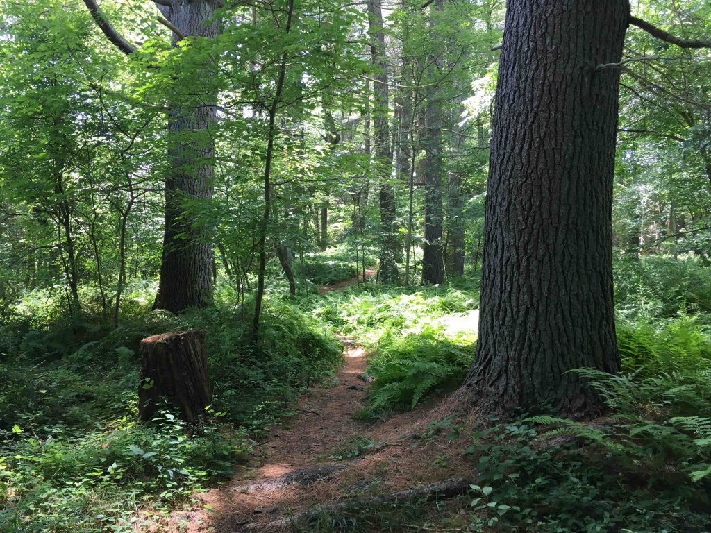
Following the path next to the ball fields quickly leads to the trailhead sign. The trail descends to cross Green Brook and then heads uphill and splits. Heading to the left you pass a large solar panel installation. The narrow loop heads off into the pines until it hits a fence line for private property and returns closer to the river. Though there are only one or two open water views.
As the near where the trail split there is a large “natural amphitheater” as the Tolland town site calls it. It is filled with pines and ferns and I think is a great place to stop and enjoy. It’s too bad I didn’t have my wide angle lens so that I could capture it.
From the Tolland town site,
“The land slopes steeply down in some sections to the Willimantic River and has approximately 1,200 feet of accessible frontage along the river. It reaches an elevation of 380 feet with a steep ridge paralleling the river at the northern section. The land is predominantly covered by a mature White Pine forest mixed with some oaks. There is also an area of thick White Pine regeneration. Near the southern end of the forested portion is an interesting natural amphitheater. The four acres on the southeast corner of the property is more level and consists of riverine floodplain forest and scrub-shrub swamp. The surface geology of this site is gravel deposits laid down on the bottom of an ancient glacial dammed pond and, along the river, periodic flooding has laid down alluvial deposits. The quality of these soils on the property has contributed to the height of the white pines.”
History:
Established as a conservation area in 2010 when purchased from Lawrence Becker.
Links:
The information shown here is for general reference purposes only. exploreCT.org gives no warranty, expressed or implied, as to the accuracy or reliability of this data. Parking in all areas, whether designated here or not, is at your own risk. exploreCT.org is not responsible for any damage or loss to vehicles or contents.
Last updated July 8, 2019
Visited 1960 times, 4 Visits today