Photos

Description

John S. Risley Park

Manchester Land Conservation Trust and CFPA Blue Blaze Trail

180 acres in Vernon, Bolton, Manchester, CT

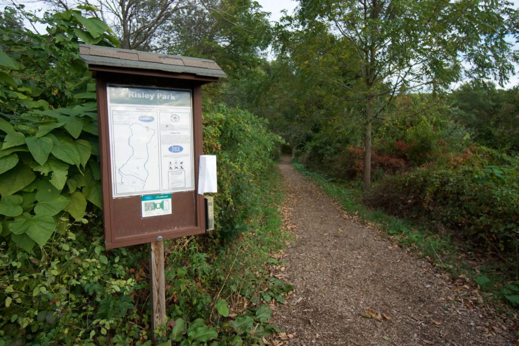
Parking: Medium sized lot near 366 Lake St Vernon, CT

Trail Map         Trails: 3 miles        Rating: ★★★☆☆


Timing can make all the difference.

Both Peter Marteka and Steve at CTMQ have hiked this park and both:

  • wrote about it in 2009
  • speak of lackluster trails
  • mention the climb up Box Mountain
  • the 200 ft communications tower
  • the peaceful spots along the water

Neither seems to capture the beauty and enjoyment of the park that I experienced on my 2018 hike.  Although, it has been almost 10 years… so maybe the park has expanded and matured in the last decade, but that’s still timing, right?

Hiking

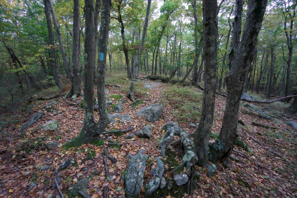
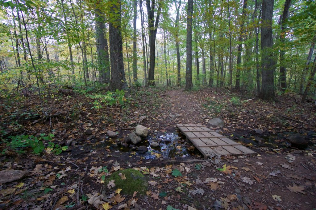
From the main parking area, I walked the wood chipped path down to the north end of the reservoir.  There is a nice wooden bridge that crosses the unnamed stream that feeds into Risley Pond and dead ahead is the blue-blazed path maintained by the Connecticut Forest and Park Association.  The path meanders eastward through young forest and in early fall the fern understory was a brilliant green and gold.

At the backside of the loop, the trail crosses a section of glacial till which requires careful footwork before ascending Box Mountain which is actually a bit strenuous.  I was driven by the thought of a “summit” and as I got closer I could see the trees start to clear.  In the homestretch, the trail turns south missing the top of the ridge.  Thankfully others before me have formed their own trail to the clearing which alas is just the previously mentioned 200ft communications tower.  Bummer, though at some point it was called Railroad Valley Overlook.

The trail follows just below the ridgeline which Marteka called Blueberry Ledge, which I can second.  A tiny trail headed east off the main loop through this sea of low blueberry.  It connects down to Freja Park, the Shenipsit Trail, and Bolton Notch just beyond that which opens up this park for much longer hikes and adds to the interconnected network of trails in the area.

The main trail makes its way downhill.  Many sections on this side are mud pits, consistently enough for paths to have formed around them, those too turned to mud, and expanded even further.  Off the blue trail I followed a less established Orange trail in the southwest corner of the property.  It provided me with a nice surprise of a gorgeous two-tier cascade just below the reservoir outlet.

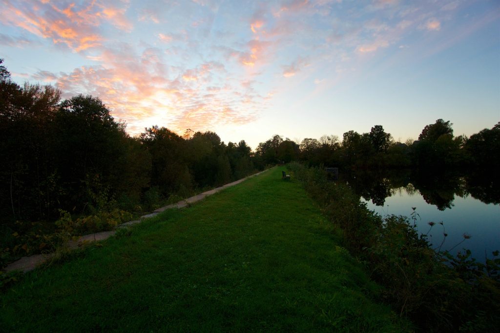
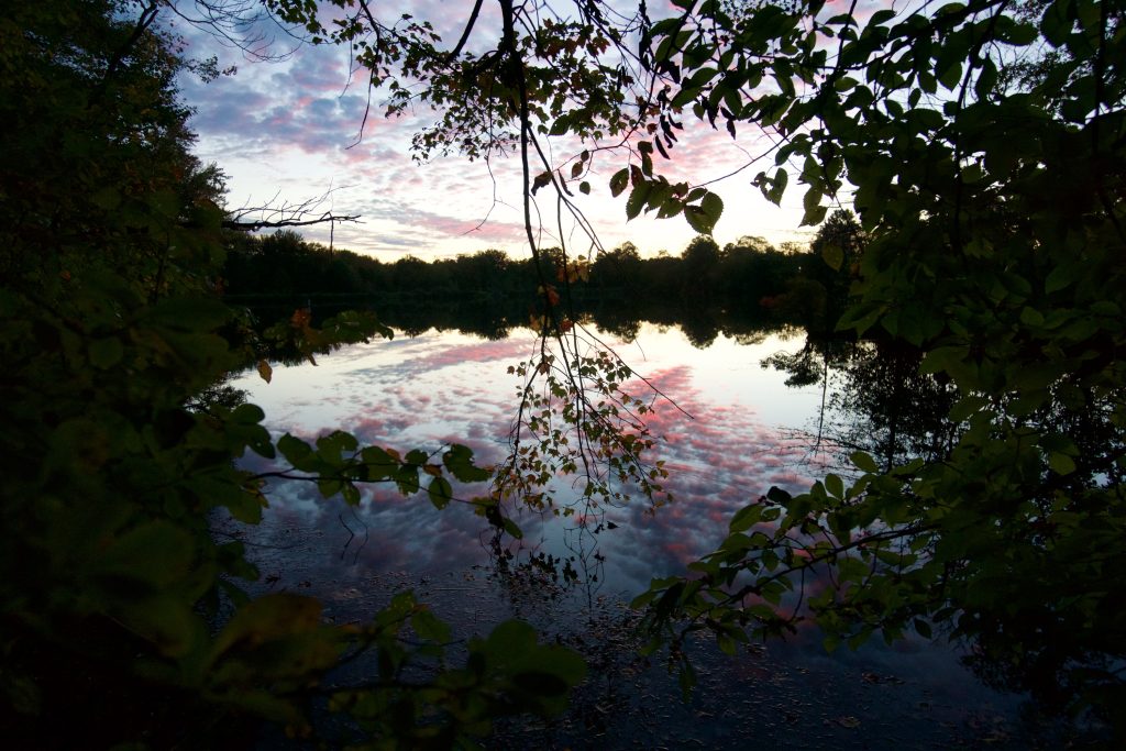
The sun was setting, but instead of rushing, I took my time enjoying the reflection of the clouds in the water as I made my way back along the pond.  As the last bit of light was fading I reaching a small clearing with an enormous oak that had been chopped down into the water.  Marteka’s article mentions, “an inviting rope swing hangs from the sturdy limb of an oak tree, though no swimming or canoeing is allowed in the reservoir.”  That tree now rests in the pond, but a much smaller tree right next to it has a rough tree stand 20 ft up (which I of course had to climb), though I can’t imagine the height makes for better fishing.

I made my way back to the car in the dark reflecting on the autumn-colored hike, the sweeping sunset, and the enjoyment of exploration.

History:

Originally donated in 1983 by Gladys R. Hall and Dorothy R. Miller additional land was acquired through several purchases/donations from 1986 to 2014.  The property was donated in honor of John (Jack) S. Risley Jr. (1894- 1984) who’s father was the proprietor of the Lake Side Farm here.  From a Manchester Land Trust Brochure,

The Risley family owned this property and previous generations farmed the land north of the pond. In the 1940s, they grew strawberries in the meadow that slopes down toward the pond.

From the book Buckland: The North West Section of Manchester, Connecticut,

In 1978 the Army Corps of Engineers inspected the earthen dam at Risley Reservoir and declared it unsafe. In 1984 the reservoir was drained to eliminate the possibility of flooding. The town of Manchester owned the water rights but did not own the reservoir. A title search turned up many who might have an “ownership interest,” in the dam. The big question was who should pay for the repairs. Finally, in 1990, the necessary funds to pay for the repairs, over four hundred thousand dollars, were pledged. Some of the money came from donations and some from the State of Connecticut. The town of Manchester paid one hundred and thirty thousand dollars toward the project.


Links:

CTMQ – Risley Pond Loop Trail (2009)

Peter Marteka – Risley Park Visitors Can Explore the Wild (2009)

Peter Marteka – Overlook Offers Panorama (2002)

The information shown here is for general reference purposes only. exploreCT.org gives no warranty, expressed or implied, as to the accuracy or reliability of this data. Parking in all areas, whether designated here or not, is at your own risk. exploreCT.org is not responsible for any damage or loss to vehicles or contents.
Last updated October 14th, 2018

Visited 3889 times, 1 Visits today

Related Listings

Merritt Family Forest

Unexplored

41.351221, -71.999111

Merritt Family Forest Groton Open Space Association 75 acres in Groton, CT Parking: Shoulder parking near 74 Fishtown Rd, Mystic, CT Trail Map              Trails:…

Shenipsit: Dark Hollow Section

★★★☆☆

41.669598, -72.503706

Shenipsit : Dark Hollow Brook to Flat Brook Falls Blue Blaze Shenipsit Trail and Connecticut State Forest in Glastonbury, CT Parking: Dark Hollow: At the end the road near… Read more…

Garnet Ledge

★★☆☆☆

155 Birch Mountain Rd, Glastonbury, CT, USA

Shenipsit: Garnet Ledge Manchester Water Co. Property, Kongscut Land Trust, and Blue Blaze Trail 1,437 acres in Glastonbury, CT Parking: North End: From Case Mountain closest parking… Read more…