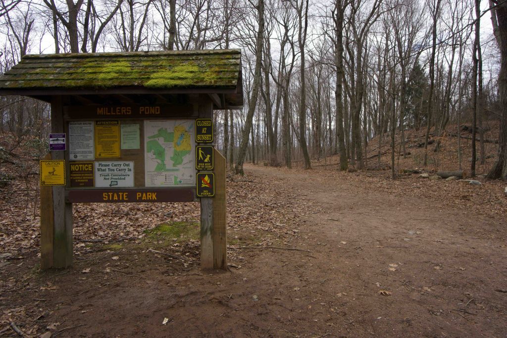
Millers Pond State Park
280 acres in Durham and Haddam, CT
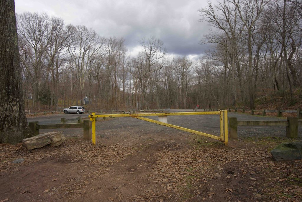
Parking: Large lot at 344 Foot Hills Rd, Durham, CT
Trail Map Trails: 13 miles Rating: ★★★☆☆
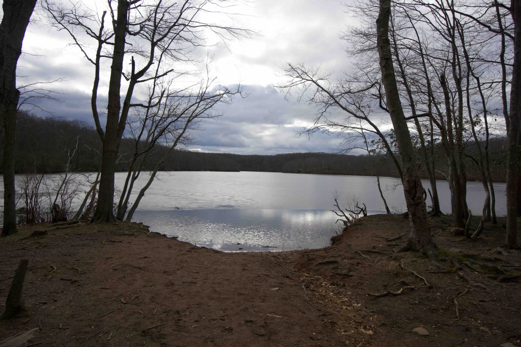
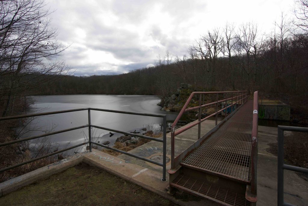
Millers Pond is one of Connecticut’s “scenic reserve” state parks and contains about five miles of trails within its boundaries and connects to at least another eight miles in the surrounding Cockaponset State Forest. There are a few picnic areas and plenty of scenic rock outcrops along the edge of the pond. There are also options for mountain biking, rock climbing, and swimming through easy access from the park.
Hiking
The 1.3 mile white trail loops around the pond and connects to all the other blazed and unblazed trails. The path is wide (likely to be able to accommodate rescue vehicles) and gently rolling for an easy walk on the west side of the pond. The return section on the eastern blue/white trail was very muddy though I’m sure it’s much drier in the summer.
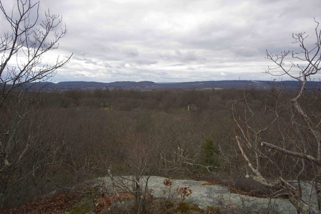
A .88 mile section of the blue-blazed Mattabesett Trail passes through the park. Heading northeast takes you towards Seven Falls. I hiked the southwest portion towards Bear Rock. From the easy terrain around Millers Pond the trail quickly gains elevation as it climbs a rocky spine. The trail passes through actively managed forest, shallow ravines, and up and over a large rocky knob before reaching Bear Rock. The overlook faces west looking out over Durham. I turned around here and did not continue down to Higganum Rd.
Previous Section: Brainard Hill Rd (unexplored)
Next Section: Higganum Rd (unexplored)
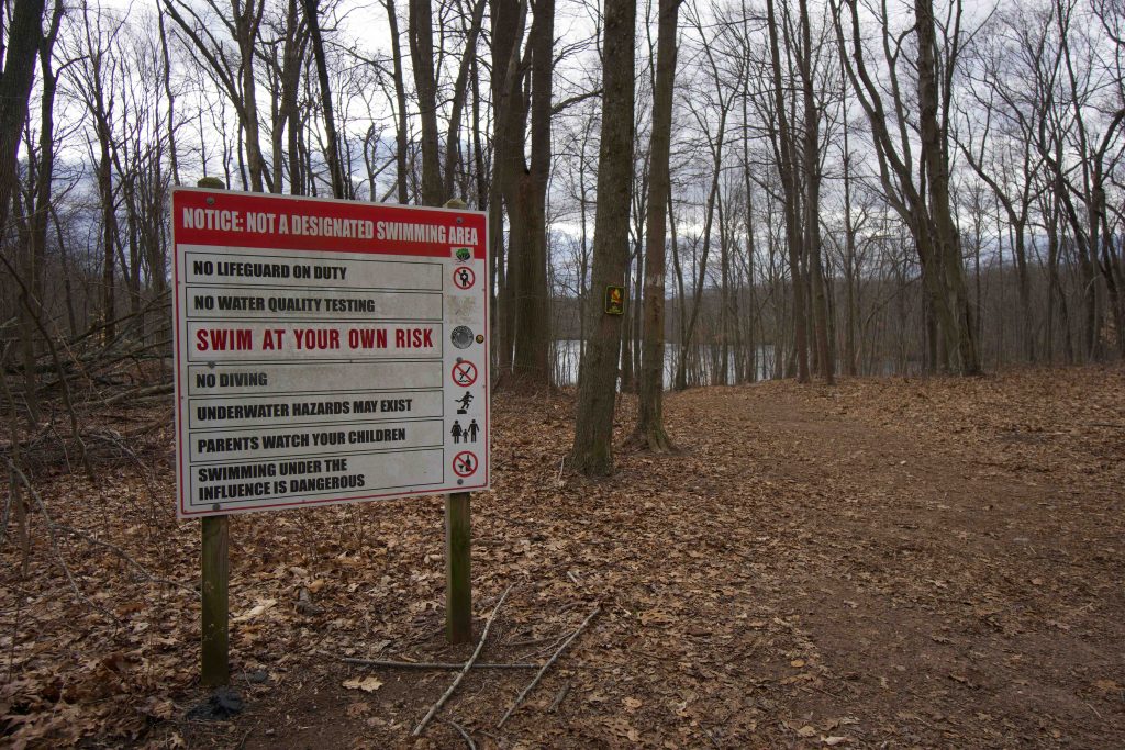
Though popular, this is not a designated swimming area. There are several signs around the pond noting that swimming is ‘at your own risk’ as there have been at least eight drownings over the last 20 years.
North Section, “is the more cross country oriented, with fast, flowing turns and prolonged climbing in either direction. Although clearly a cross country oriented trail, there are still ample opportunities to drop, jump, and huck. It will take the average rider about an hour to complete this section, and there are few bailout options.
The southern section and the red/white (a shortcut back to the pond) are pure freeride, with twisting, rocky climbs, log ramps, drops, and hucks in rapid succession. It will take the average rider about 1.5 hours to complete this section (red to red/white), and it should not be attempted alone.”
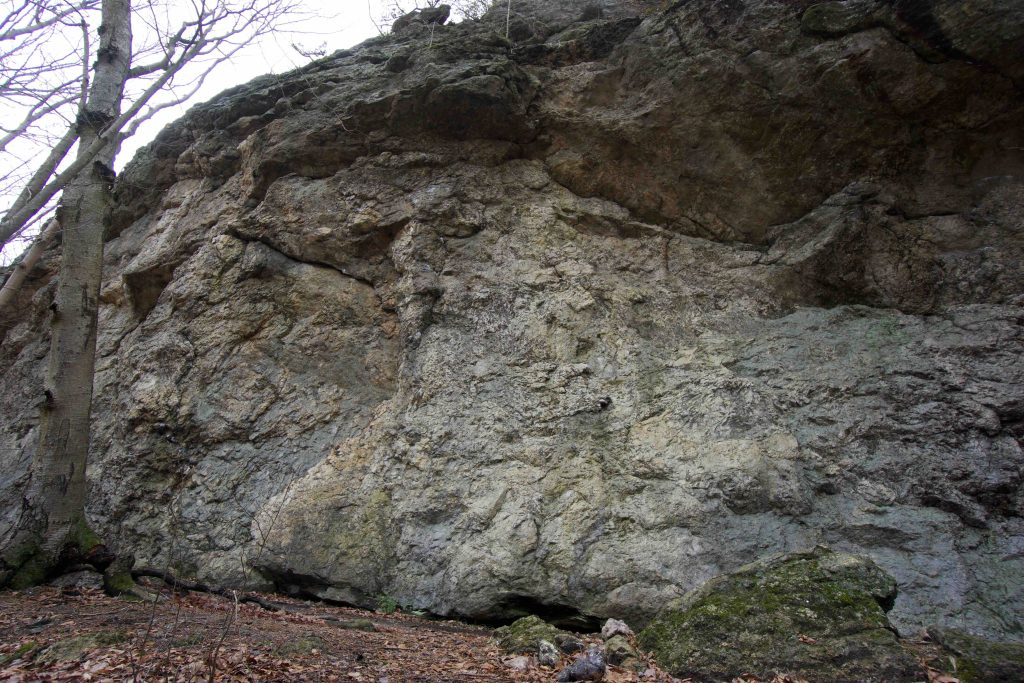
It is a 1.2 mile hike out just before you reach Bear Rock to a small rock face that is bolted for sport climbing. I noted at least four bolted routes and quick search brings up:
History:
Established as a state park in 1955. The park is named for Thomas Miller who operated a gristmill in the area in the early 1700s.
This park was featured in the 2016 Sky’s the Limit Hiking Challenge.
Links:
- The Geology of Millers Pond State Park Reserve
- NEMBA – Mountain Bike Millers Pond State Park
- Mountain Project – Bear Rock Rock Climbing
- Mark Dionne – Drowning latest in string of fatal incidents at Durham state park (2017)
- CTMQ – Millers Pond (2016)
The information shown here is for general reference purposes only. exploreCT.org gives no warranty, expressed or implied, as to the accuracy or reliability of this data. Parking in all areas, whether designated here or not, is at your own risk. exploreCT.org is not responsible for any damage or loss to vehicles or contents.
Last updated January 27, 2020
Visited 4962 times, 7 Visits today