Photos

Description

Seven Falls

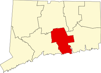
in Middletown and Haddam, CT

Parking: Shoulder parking near 1 Saybrook Rd, Higganum, CT

Trail Map             Trails: 2.5 miles         Rating: ★★★☆☆


Seven Falls is state-owned property, but it isn’t an official state park.  It comes closer to their ‘water access’ designation and signage at the park calls it a ‘picnic area’.

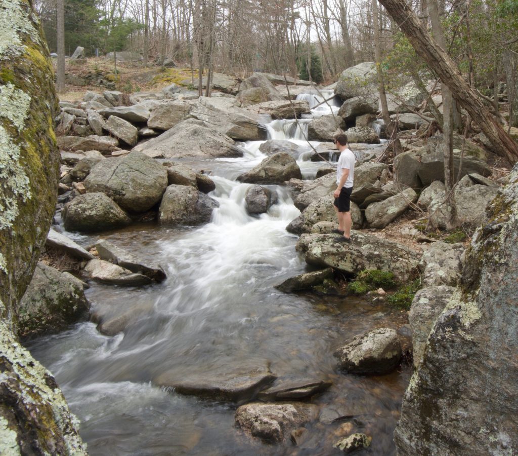
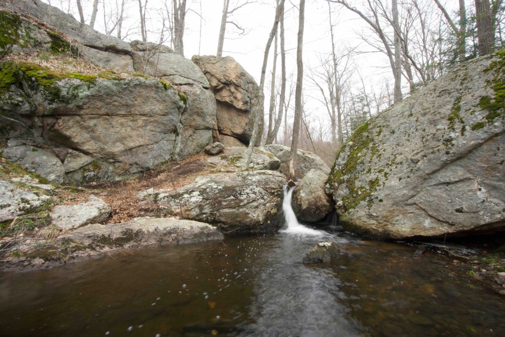
Just off the road is the good-sized picnic area next to Bible Rock Brook.  The area looks like it floods pretty often which steals some of its scenic beauty.  Despite recent rains and a rushing brook, the falls were underwhelming too.  A creative counting of the drops does add up to seven, though none are more than a couple of feet.  In aggregate it’s still a peaceful spot.

Hiking

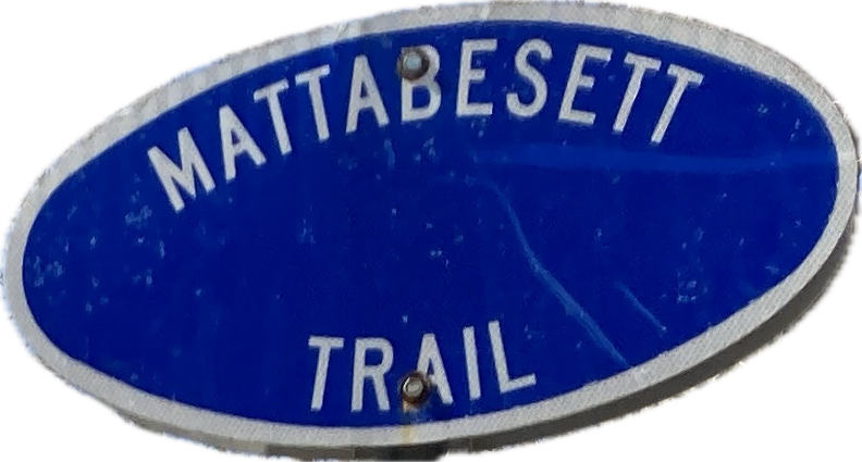
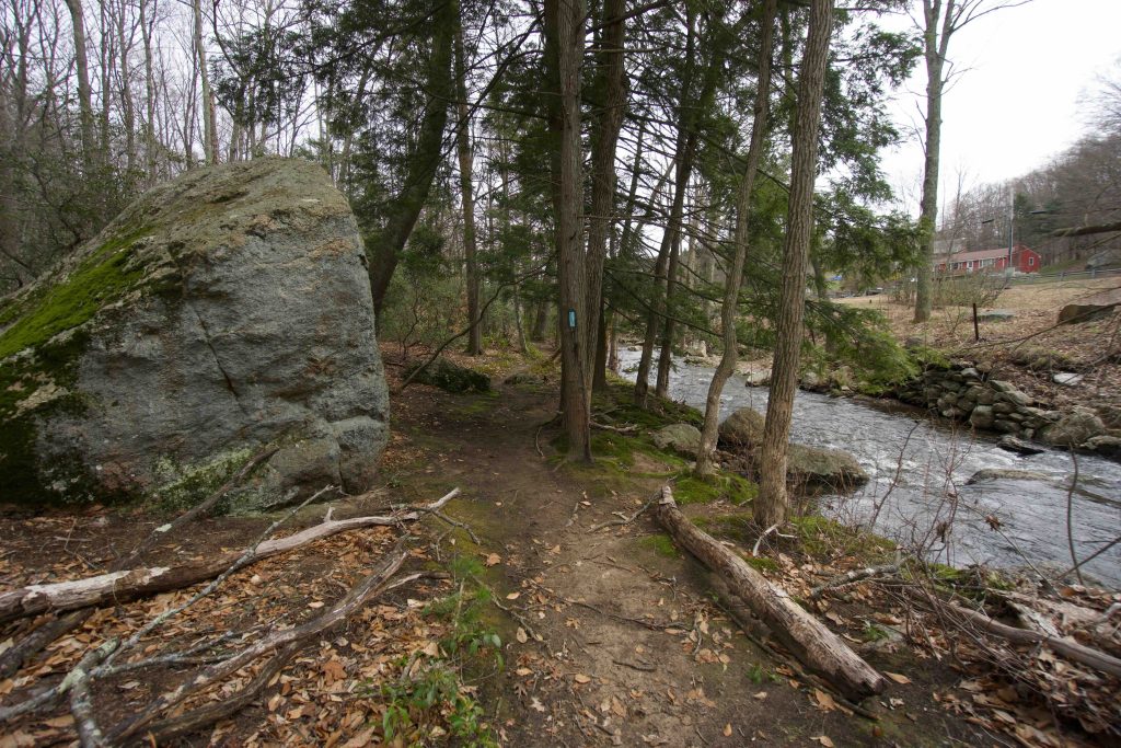
The trails start on the other side of the bridge along Rt 154 and fork as they head into the woods.  The blue blaze Mattabesett Trail heads off to the right and the yellow Seven Falls Loop to the left.  This section of the Mattabesett is surprisingly great.  It has been rerouted recently due to an expansion of the utility corridor but the trail selection is well done.

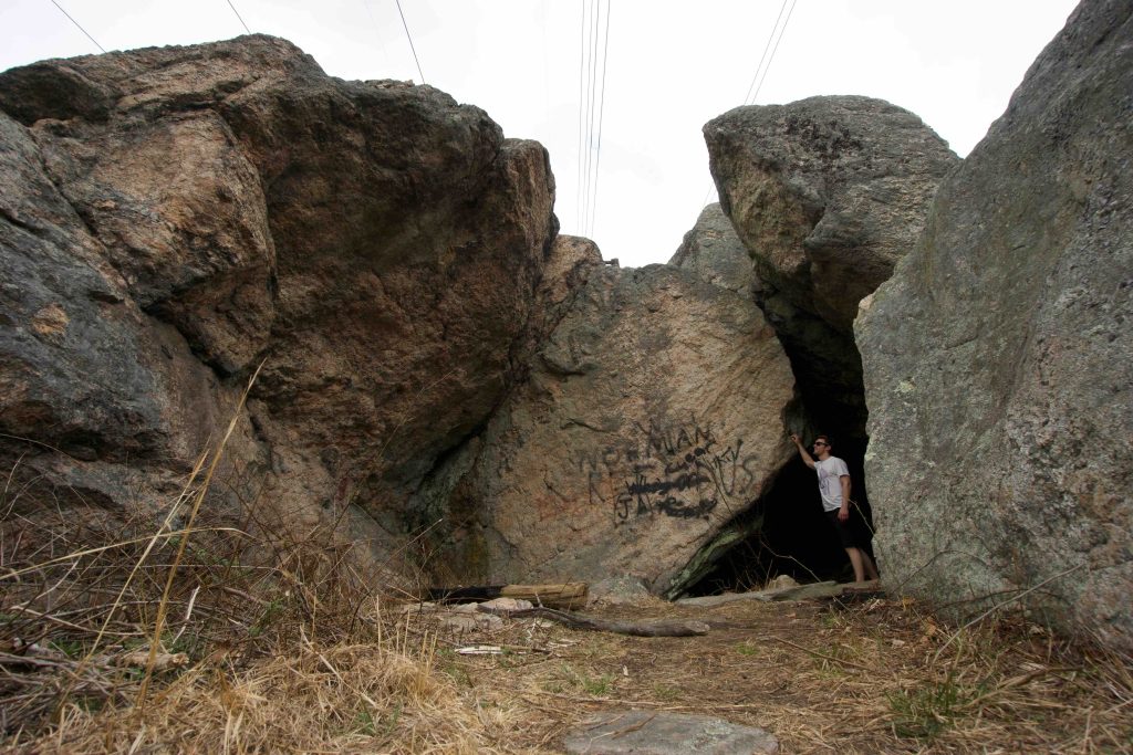
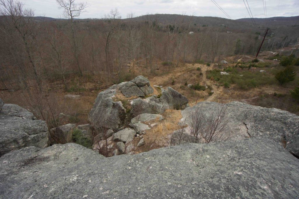
From the shaded section along the brook, the CFPA could have taken a direct shot just to get across the powerlines as quickly as possible.  Instead, they worked interesting rock features and ledges to navigate through the corridor.  It is well marked and has a scramble or two.  Beyond the powerlines, you reenter the woods and wind through more ledges and mountain laurel.  After about a mile the trail splits to the yellow-blazed Seven Falls Loop.  I continued a bit further along the Mattabesett crossing Freeman Rd and Rt 410 with not much to note before turning around.

The return trip on the yellow blaze is much wetter.  There are several interesting water features that could be added to the seven falls.  There are also a couple of marshy sections before returning to the utility corridor.

Rock Climbing

There are also a number of climbing and bouldering opportunities that can be explored at the link below

History:


Links:

The information shown here is for general reference purposes only. exploreCT.org gives no warranty, expressed or implied, as to the accuracy or reliability of this data. Parking in all areas, whether designated here or not, is at your own risk. exploreCT.org is not responsible for any damage or loss to vehicles or contents.
Last updated May 6, 2019

Visited 6601 times, 6 Visits today

Related Listings

Kettletown State Park

★★★☆☆

41.424802, -73.208132

Kettletown State Park Connecticut State Park 605 acres in Oxford and Southbury, CT Parking: Several small lots at 1400 Georges Hill Rd, Southbury, CT Trail Map     …

Squantz Pond State Park

Unexplored

41.509456, -73.473338

Squantz Pond State Park Connecticut State Park 172 acres in New Fairfield, CT Parking: Medium sized lot near 178 Short Woods Rd, New Fairfield, CT Trail Map  …

Weiss-Loveday Watershed

Unexplored

132 River Rd, Clinton, CT, USA

Weiss-Loveday Watershed Clinton Land Trust and Connecticut State Forest 65.79 acres in Clinton, CT Parking: Small lot near 132 River Rd, Clinton, CT Trail Map     …