Iron Mine Valley Preserve

Joshua’s Trust

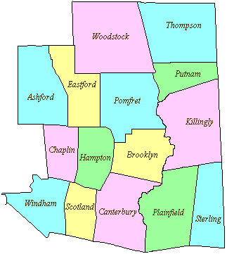
52 acres in Ashford, CT

Parking: Shoulder parking near 31 Sand Hill Rd, Ashford, CT

Trail Map         Trails: 1.3 miles       Rating: ★★☆☆☆


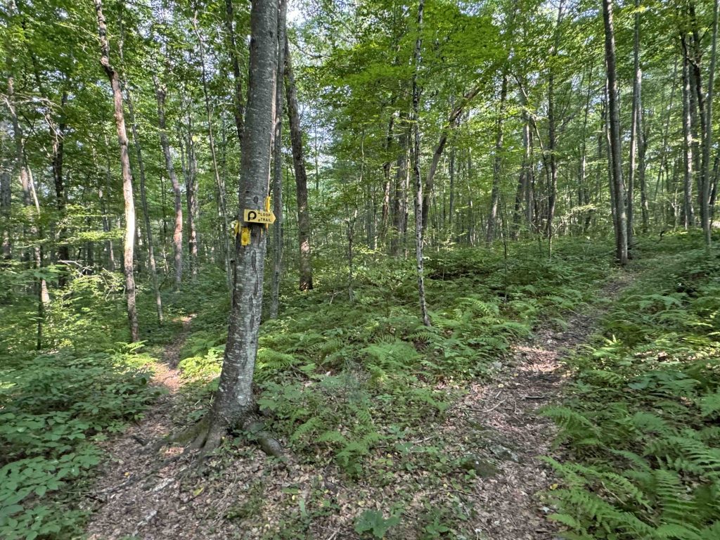
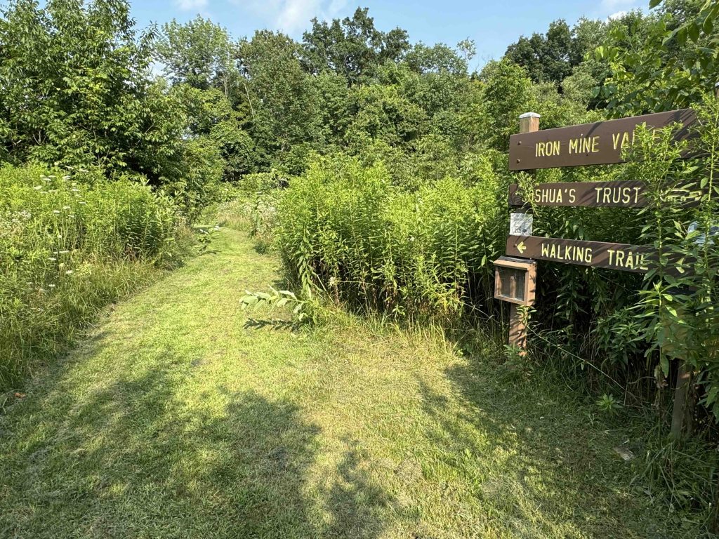
Iron Mine Valley Preserve is split into East and West trails.  The 1 mile West Trail starts from Sand Hill Road and heads down a nicely mowed path into the forest until meeting the fork for the loop.  The loop is simple with trees and interesting rock formations and the trail is lightly traveled

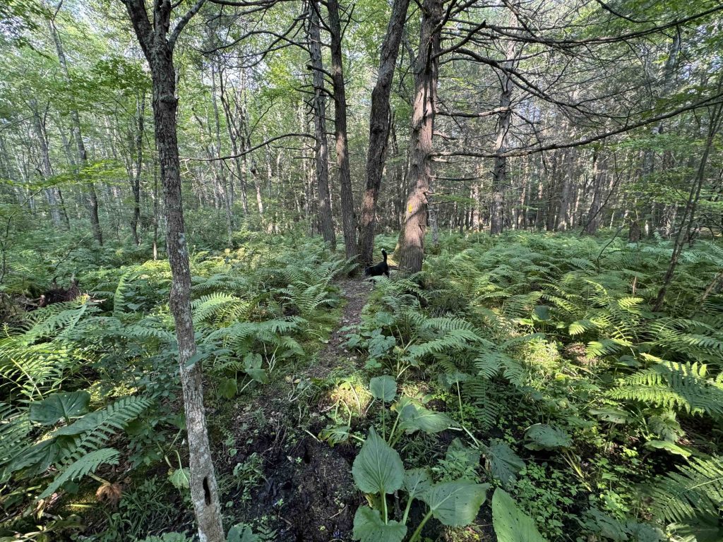
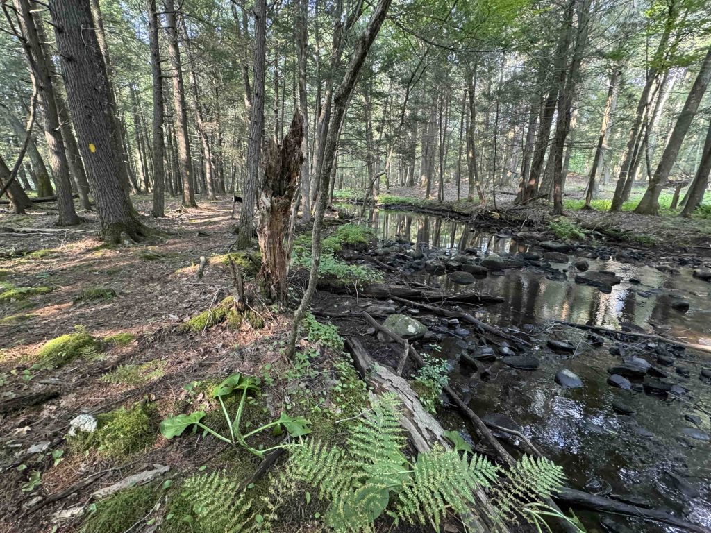
You drop over 140ft of elevation until reaching the highlight of the hike, a spur in the boggy area near Boston Hollow Brook. The area feels right out the Jurassic age with massive ferns, thick wild moss, and sucking mud pits. Beyond the boggy area is a peaceful pine grove and a flat stretch of brook.  Note: You’ll have to retrace your steps back through the bog to complete the loop, blazes here do connect across the brook to the East Trail.

The East Trail is 0.3 miles down Iron Mine Lane. You can park at the small lot for the Pixie Falls section of the Nipmuck Trail and walk past the gate further down the dirt road until the trail turns off to the right.  There are plenty of No Trespassing signs that make it feel a bit unfriendly, but I assure you that you can hike down there to access the loop trail, clear blazes guide where you’re supposed to turn. The brook is low enough to rock hop and they’ve even assembled the rocks for you if you want to check out this trail from the west side or vice versa. You can also do a short road walk to do an outer loop.

History:

Preserved in separate parcels donated in 1990 and 2001.


Links:

The information shown here is for general reference purposes only. exploreCT.org gives no warranty, expressed or implied, as to the accuracy or reliability of this data. Parking in all areas, whether designated here or not, is at your own risk. exploreCT.org is not responsible for any damage or loss to vehicles or contents.
Last updated July 27th, 2024

Video

Visited 2772 times, 1 Visits today

Related Listings

Glemboski-Ous Preserve

Unexplored

128 South Rd, Bozrah, CT, USA

Glemboski-Ous Preserve Avalonia Land Conservancy 159.42 acres in Bozrah and Montville, CT Parking: Shoulder parking near 128 South Rd, Bozrah, CT Trail Map        Trails:…

The Preserve

Unexplored

41.320698, -72.406485

The Preserve Essex Land Trust, Old Saybrook Town Park, State Forest 963 acres in Essex, Old Saybrook, and Westbrook, CT Parking: Essex Parking: Small lot at the… Read more…

Mica Ledges Trail

Unexplored

41.436425, -72.675595

Mica Ledges Trail Middlesex Land Trust in Durham and Madison, CT Parking: Shoulder parking near 173 Cream Pot Rd Durham, CT Trail Map         Trails: 3…