Nipmuck Trail : Pixie Falls / Natchaug Trail: North Terminus
Connecticut State Forest and Blue-Blaze Trail
in Ashford, CT
Parking:
- South End: Small pull-off near 32 Iron Mine Lane, Ashford, CT
- North End: Small pull-off on Eastford Rd Ashford, CT
Trail Map Trails: 2 miles Rating: ★★☆☆☆
Nipmuck Trail
This section of the Nipmuck Trail is a relatively easy stretch with highlights in Pixie Falls and Ladies Room Rock.
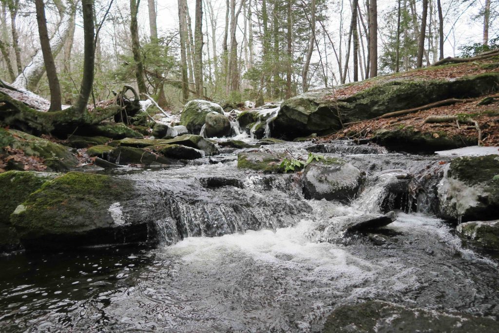
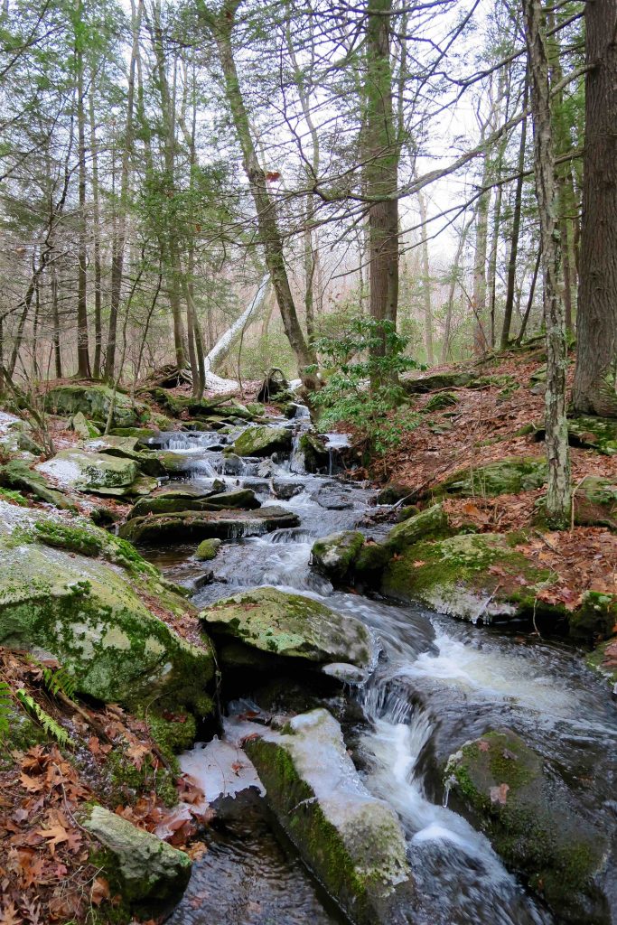
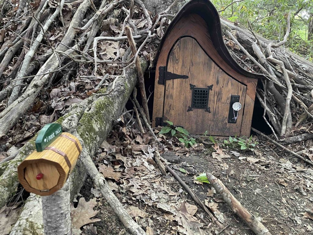
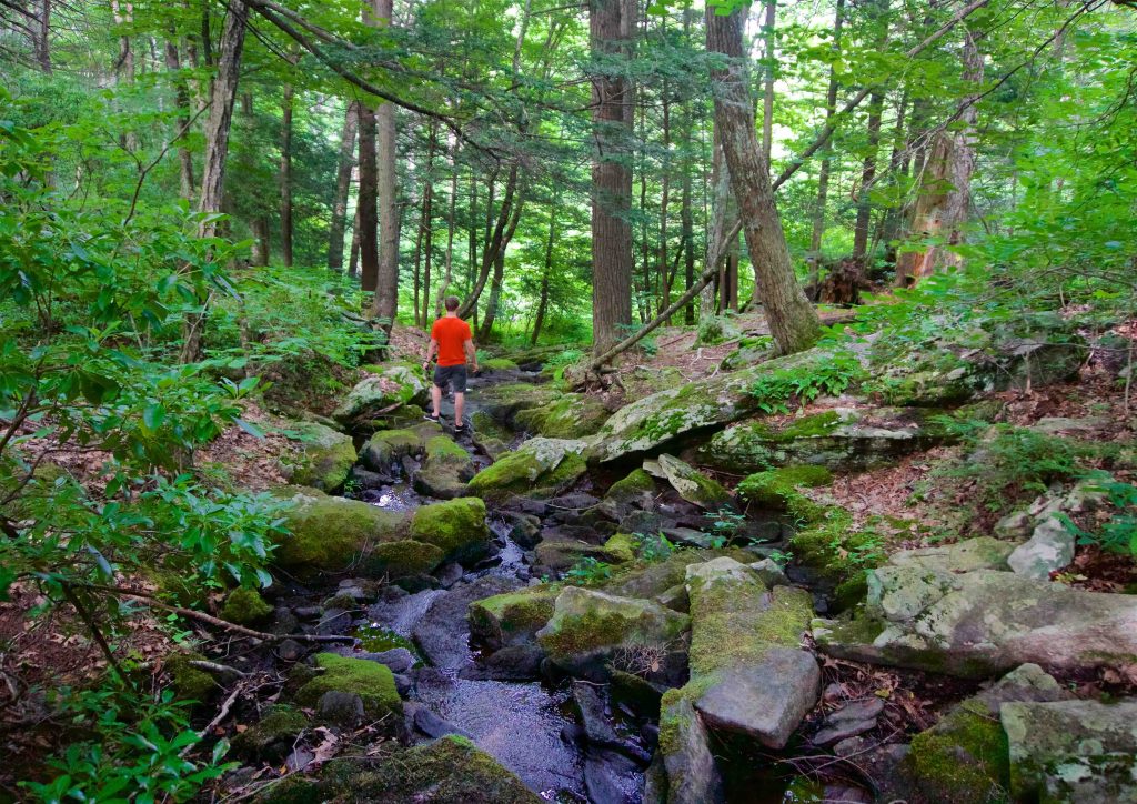
The trail starts just off the portion of Iron Mine Lane close to Rt. 89. It follows an old woods road until veering off just past some old overgrown foundations about 1/3rd of a mile down the trail. You cross over a seasonal stream and heads up to a hilly ridge that continues until the red-blazed spur for Pixie Falls. You can generally hear the falls as you approach and a sign high up on a tree notes the spur trail. A short walk brings you to Boston Hollow Brook and the chain of tiny cascades known as Pixie Falls.
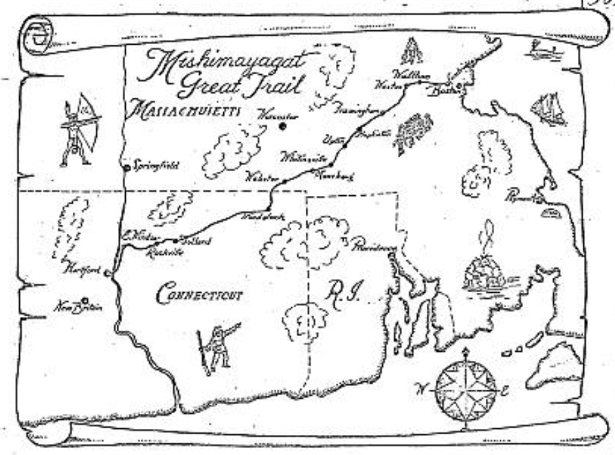
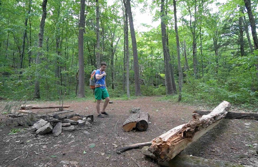
Back on the Nipmuck, the trail joins a section of the Old Connecticut Path (a Native American trade route used and expanded by early Connecticut colonists). A short distance further is a large campsite set back among the pines on level ground (see this map). There is rustic seating around a fire pit and usually some handy kindling and firewood. Send an application form at least two weeks before an intended stay to the address indicated on the form to reserve the site for your camping/backpacking trip. Helpful links for planning a backpacking trip using this campsite.
Back on the blue-blazed trail you cross a unique angled bridge over Boston Hollow Brook. On my 2022 visit to this section, this stretch of the brook has seen beaver activity slowly flooding the area which may cut off access to the bridge during high rainfall, though it was passable again a day after a good rain.
Climbing the hill after the brook leads to the fabled ‘Ladies Room Rock’. A smaller painted rock acts as a sign in the middle of the trail and points in the direction of the large erratic just off the trail. The origin of the name isn’t exactly clear, but the reason seems to be well accepted, that this large boulder provides some privacy for ladies as needed.
From here, the Nipmuck winds through a rocky section until it meets with the northern terminus of the Natchaug Trail (see below) and then on to cross Eastford Rd.
Next Section: Yale Forest: Eastford Rd – 1.6 miles
Previous Section: Natchaug State Forest: Perry Hill – 2.3 miles
Natchaug Trail: North Terminus
From the Eastford Rd parking the junction of the Natchaug Trail is 0.6 miles down the Nipmuck to the start.
See the Natchaug: Lyon Rd Section for more details.
History:
This area is known as Iron Mine Valley for the bog iron pulled from here during the Revolutionary War era.
Links:
- Peter Marteka – A Magical Waterfall And A River Of Hope In The Wilds Of Ashford (2015)
- CTMQ – Pixie Falls and Ladies Room Rock (2017)
The information shown here is for general reference purposes only. exploreCT.org gives no warranty, expressed or implied, as to the accuracy or reliability of this data. Parking in all areas, whether designated here or not, is at your own risk. exploreCT.org is not responsible for any damage or loss to vehicles or contents.
Last updated May 22th, 2022
Visited 3952 times, 5 Visits today