Hurd State Park

Connecticut State Park

991 acres in East Hampton, CT

Parking: Small lot near 1 State Hwy 439, East Hampton, CT

Trail Map          Trails: 8 miles      Rating: ★★★☆☆


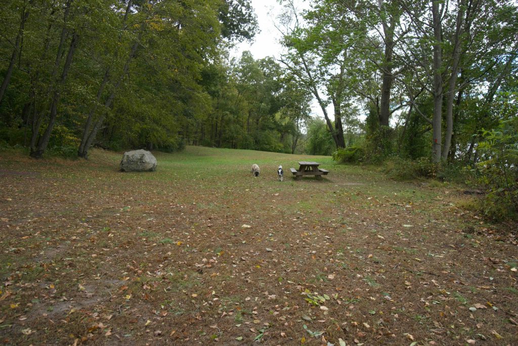
Hurd State Park has nearly four miles of trails wandering the woods of East Hampton to the Connecticut River.   Hurd also has a large field, picnic pavilion, youth camping area, and pit toilets.

Hiking

I first visited Hurd State Park in 2015 and a lot of work has been done since then to make the park easier to navigate.  On my first visit the trail map had yet to be updated and blazing was inconsistent.  I was able to wind my way down to the river and back managing to miss many of the parts interesting features.

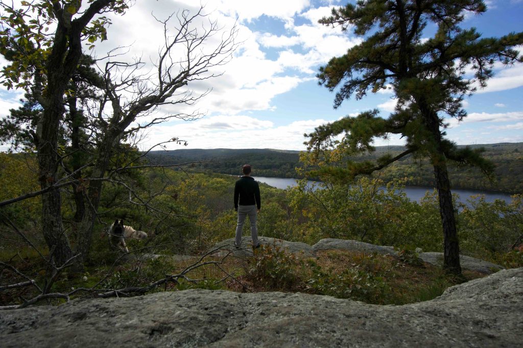
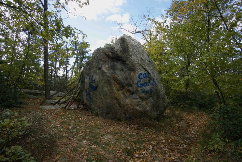
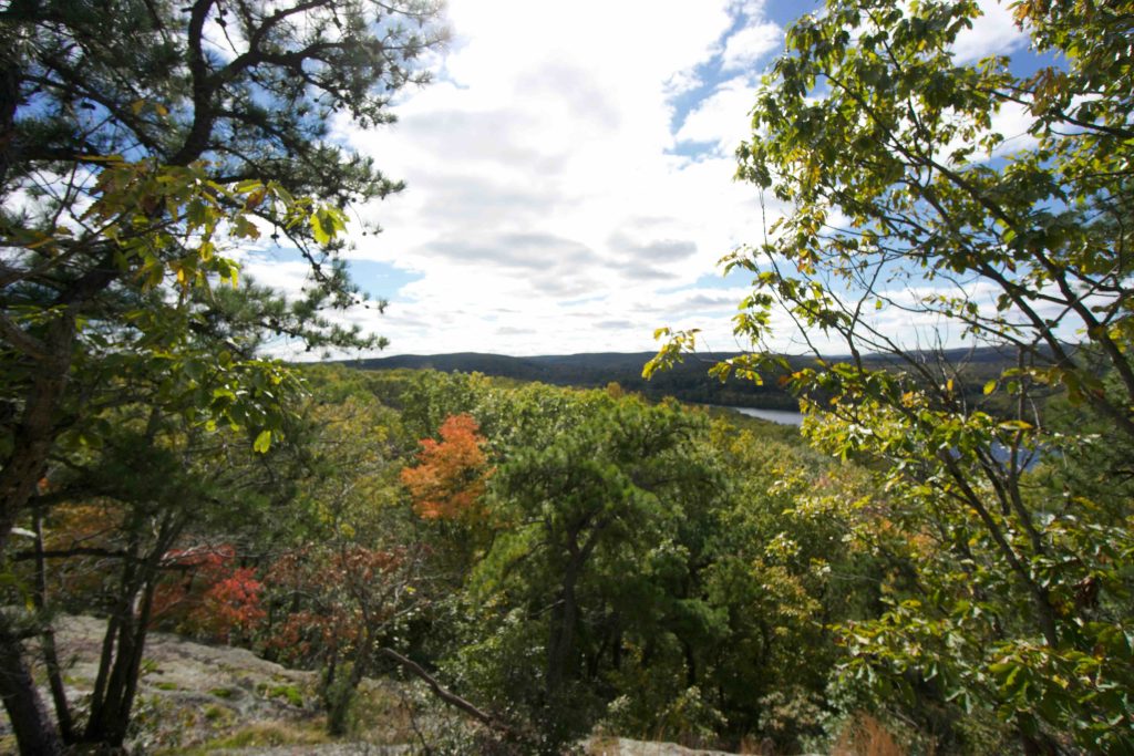
On more recent hikes I’ve captured the main hiking features such the split rock and river vista along the yellow trail.  The overlook is along a rock ledge though most of the view is obscured by trees.  The split rock is… well a really large split erratic in a small clearing near the overlook.

Peter Marteka highlighted the half-mile long rock jetty on the banks of the river made with two or three layers of huge quarried blocks.  Though I saw it from my kayak when I paddled down the Connecticut River in summer 2019 I haven’t viewed it up close.

The trail map above doesn’t show it but you can also connect to the adjacent George Dudley Seymour State Park and Higganum Meadows off the orange trail.

Camping

The park is one of the river’s boat camping areas for overnights on the banks of the CT river at its three sites.  A permit is required and costs $5 (plus a processing fee) and can be reserved through Reserve America here.

History:

Established as a state park in 1914 when the state purchased the first 150 acres.  The park is named for the Hurd family who moved to the property in the 1710. The family built a dock on the Connecticut River near Hurd Brook that was still partly visible in 1950s.

This park was featured in the inaugural 2015 Sky’s the Limit Hiking Challenge.


Links:

Peter Marteka – A River Walk Not To Be Missed (2014)

The information shown here is for general reference purposes only. exploreCT.org gives no warranty, expressed or implied, as to the accuracy or reliability of this data. Parking in all areas, whether designated here or not, is at your own risk. exploreCT.org is not responsible for any damage or loss to vehicles or contents.
Last updated October 21st, 2018

Visited 4288 times, 2 Visits today

Related Listings

Nathan Hale State Forest

★★★☆☆

41.764554, -72.347094

Nathan Hale State Forest Connecticut State Forest 1,529 acres in Coventry, CT Parking: Large lot at 2299 South St, Coventry, CT Trail Map        Trails: 12…

Kettletown State Park

★★★☆☆

41.424802, -73.208132

Kettletown State Park Connecticut State Park 605 acres in Oxford and Southbury, CT Parking: Several small lots at 1400 Georges Hill Rd, Southbury, CT Trail Map     …

Scantic River State Park

★★★★☆

41.985371, -72.526759

Scantic River State Park Connecticut State Park 784 acres in East Windsor, Enfield, and Somers, CT Parking: Hazardville (“Scantic River West”) North of the river – Small…