Abraham R. and Samuel H. Friedman Memorial Forest

Joshua’s Trust

143 acres in Ashford, CT

Parking: Small lot near 427 Bebbington Rd Ashford, CT

Trail Map        Trails: 2.7 miles      Rating: ★★☆☆☆


Hiking

Yellow Loop – 1.6 miles

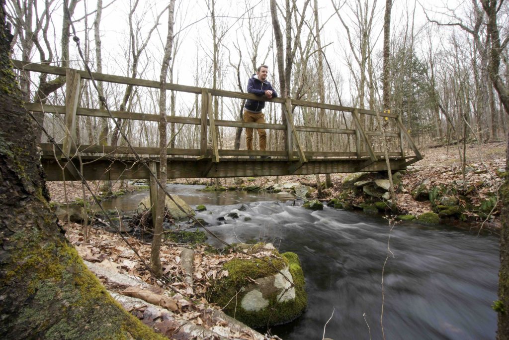
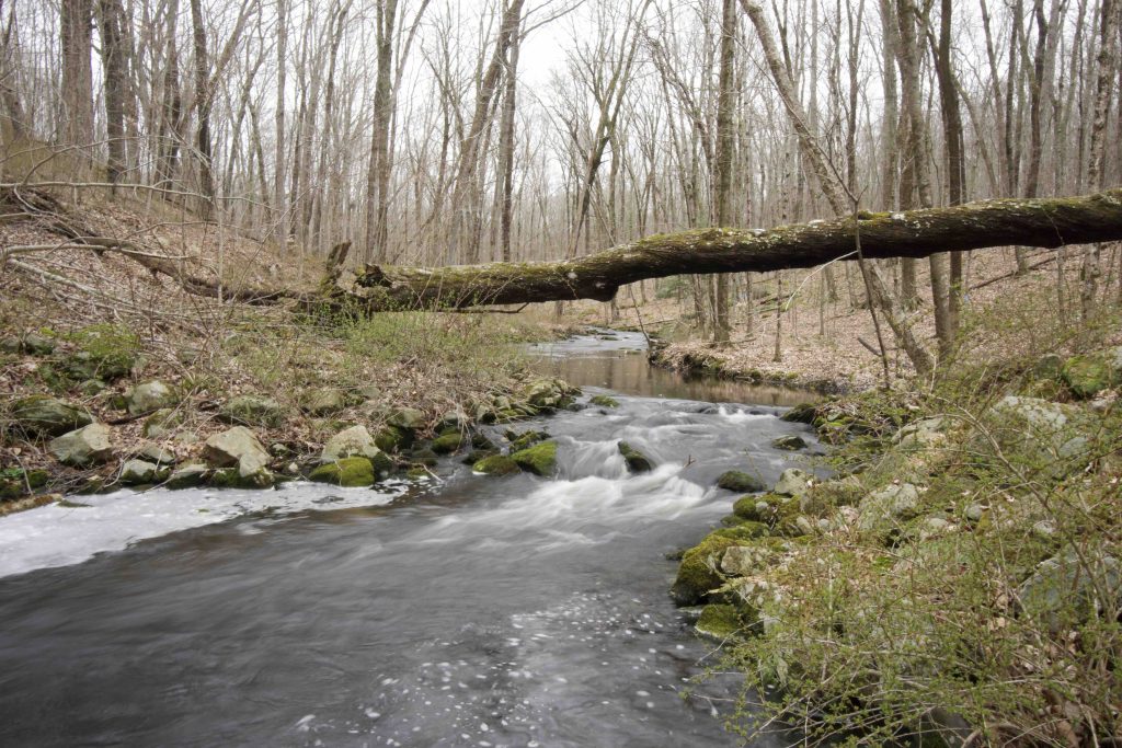
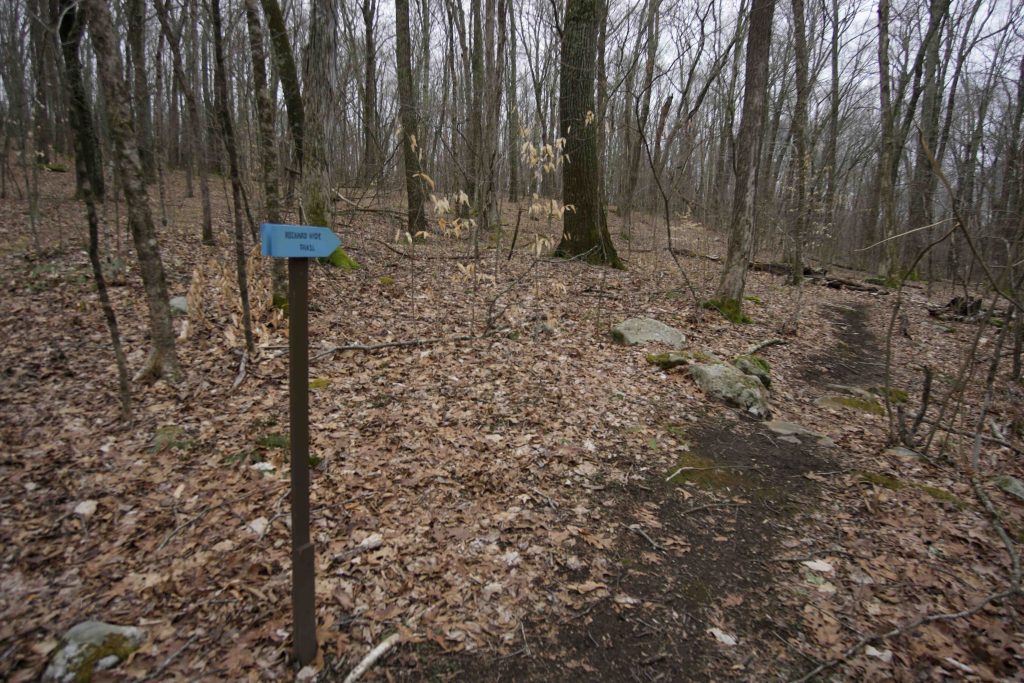
The main trail here starts on a wide flat path with a self-guided tree identification walk.  The trail soon reaches Bebbington Brook and splits three directions.  Two forks lead in either direction to continue on the yellow loop.  Taking a hard right to follow the brook is the blue blazed Hyde Loop (see below).

Taking a left to follow the yellow loop leads through a marshy area that often requires rock hopping and careful footing along rocks before climbing a steep hill along a stone wall.  The trail map notes a viewpoint near the top of the hill though nothing has caught my eye here on hikes.

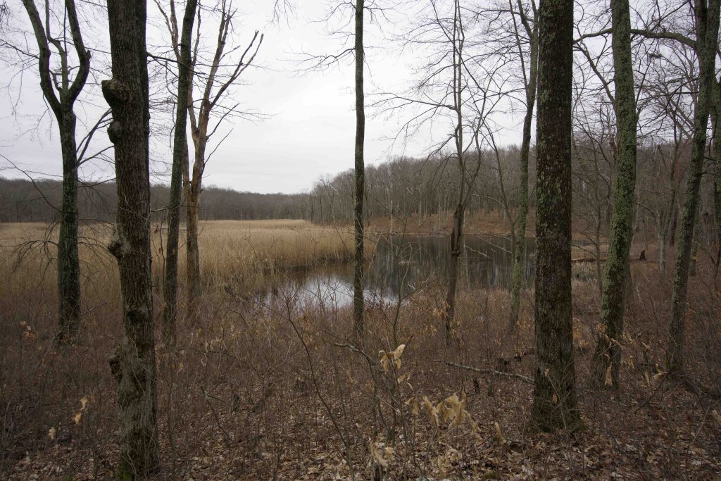
The trail then descends downhill and passes the purple Pinkham Trail (see below) before reaching a marshy pond.  Along the shore high in the trees is a heron rookery.  The trail then returns through the forest to the parking area on trail that was relocated in 2004.

Purple Pinkham Trail – 0.5 miles

This half mile trail heads to dirt Colts Pond Road which can be connected to Bebbington Lane for a roughly 2.7 mile loop.  I hiked the Pinkham Trail in spring of 2017 and found it largely overgrown with ferns but certainly passable and easy to navigate with the bright purple blazes.  However I turned around instead of follow the dirt roads back to the parking.

Blue Hyde Loop – 0.6 miles

In early 2020 a friend told me about a new trail in Friedman Forest that let you see a heron rookery. The trail must have been put in sometime in 2019 and follows Bebbington Brook for a stretch before turning east.  As you approach the marshy pond look up into the trees to the right both on the near and far sides of the water to see the heron nests.  The trail connects to the yellow loop just a bit downhill from the Pinkham Trail so there are a couple options for the return trip.

History:

Preserved in 1987 when it was donated by Abraham and Samuel Friedman.


Links:

The information shown here is for general reference purposes only. exploreCT.org gives no warranty, expressed or implied, as to the accuracy or reliability of this data. Parking in all areas, whether designated here or not, is at your own risk. exploreCT.org is not responsible for any damage or loss to vehicles or contents.
Last updated March 30th, 2020

Video

Visited 2147 times, 3 Visits today

Related Listings

Boothroyd Preserve

★★☆☆☆

48 Tolland Turnpike, Tolland, CT

Ernie Boothroyd Nature Preserve & Bellante Preserve Northern Connecticut Land Trust 94 acres in Ellington, CT Parking: East Side: Shoulder parking near 50 Tolland Turnpike, Tolland, CT…

Birch Rocks and Pratt Glen Preserves

Unexplored

40A Obtuse Rd N, Brookfield, CT, USA

Birch Rocks and Pratt Glen Preserves Northwest CT Land Trust 175 acres in Brookfield, CT Parking:  Medium sized lot near 40A Obtuse Rd N, Brookfield, CT Trail… Read more…

Kongscut Mountain

★★★☆☆

887 Goodale Hill Rd, Glastonbury, CT

Kongscut Mountain / Phillips Cave Loop Connecticut State Forest 1,100 acres in Glastonbury, CT Parking: Small pull of near 887 Goodale Hill Rd, Glastonbury, CT Trail Map …