Back to 💯
I’m proud to say that Explore Connecticut is back to 100% after The ‘Great Crash’ earlier this year in March.
I was originally thinking that I could get the site back to full strength in just two months. But after the initial sprint, some COVID-era delays, and an actual roadmapping of the recovery, it became pretty clear that was way too optimistic. So here we are six months later…
All the state parks, town hikes, and land trust preserves are finally back again and I can refocus on the actual exploration. I’m still about 40 locations below the total pre-crash number, but most of those were bare bones pages for unexplored properties. All the additions, improvements, and refinements to nearly every page more than make up for it.
And, after learning this hard lesson, just about every page is now double backed up belt-and-suspenders-style to ensure a flawless recovery juuust in case of another catastrophe.
That’s great and all for me on the back end but what does this mean for you, the loyal user?
- No more broken internal links or 404 errors (links to other sites are a whole other story, trying to keep up with those pesky ever changing URLs)
- Consistent information on each page and greater linking between them
- There’s greater detail on the main map which is no longer limited to 200 locations so you can zoom in anywhere to see more in a given area.
- Or if you live in a certain part of the state try your county’s page: (in order of most explored to least) Windham County, Tolland County, New London County, Middlesex County, Hartford County, Litchfield County, New Haven County, Fairfield County
- Or dial it down as far as your town by putting https://exploreCT.org/*insert-your-town-here
- If you’re into a certain activity besides hiking you can try pages like Boating, Fishing, Rocking Climbing, or Disc Golf. I haven’t compiled a complete list of these anywhere yet, but I’ve a few people reach out about improving the fishing page.
- Want to find all the waterfalls, towers, or overlooks in the state? There are pages for each of those too
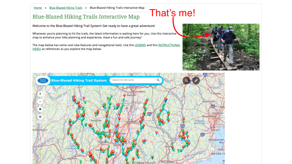
I noticed this last month, if you go to the CFPA’s blue-blaze interactive map, they’ve got a photo from last year’s CT Trails Day hike I did with Mat Jobin and a few others. How cool! Pretty sure they’ve had the photo up for a long time now and I only just recognized myself.
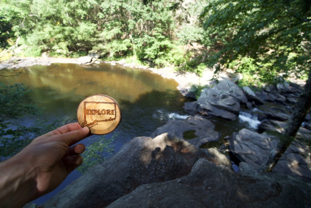
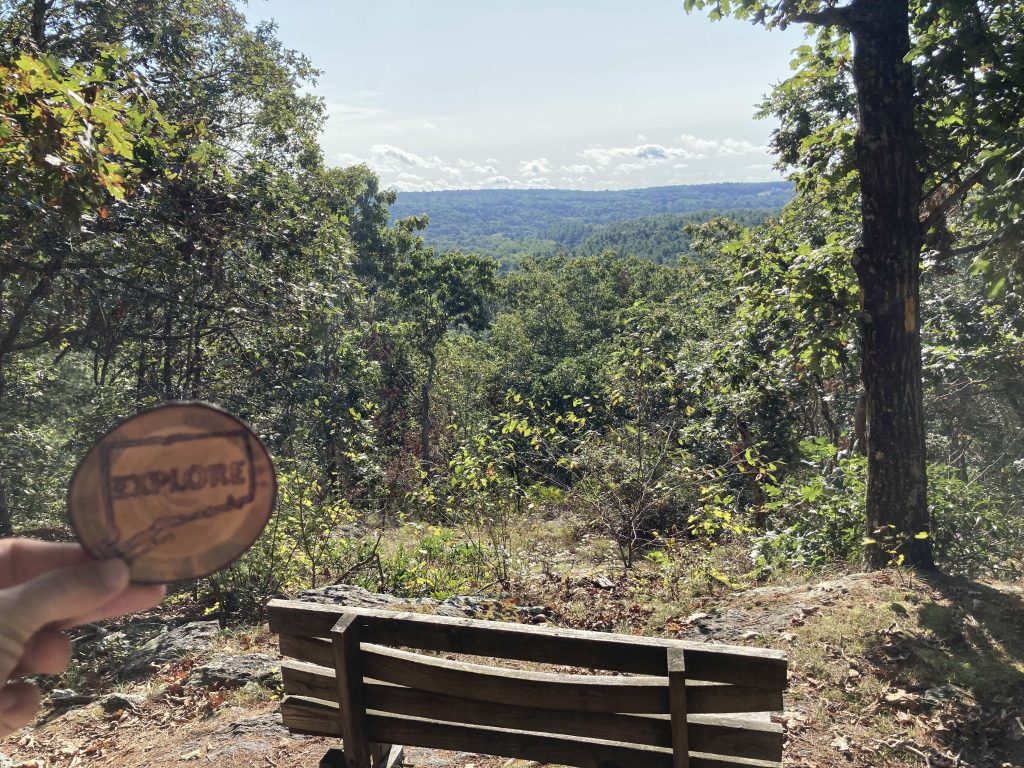

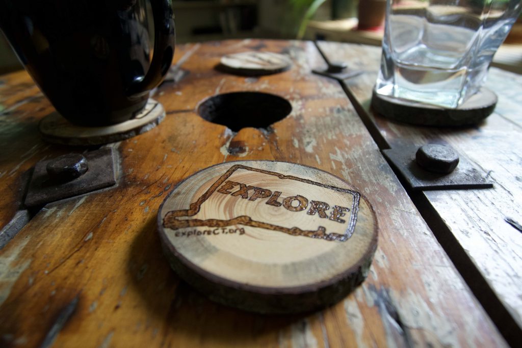
I had some limbs fall on my property recently so I cut some rounds and wood-burned them with one of my designs. I’ve been hiding them on my hikes at locations which are among the most visited pages on the site.
It seems like a fun and unobtrusive way to get the word out and a nice surprise for those that find them. I also added a set to the store as coasters in case they strike someone’s fancy.
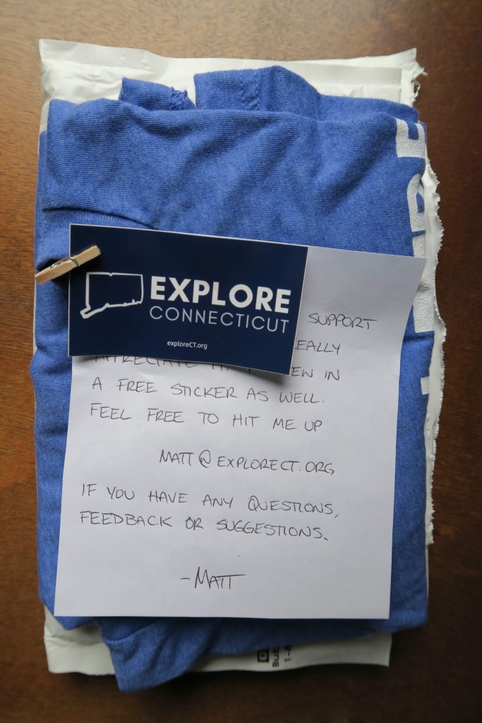
I’ve also been filling shirt orders, big thank you to any readers who bought one!
Site Updates and Additions
- Lake Williams State Park – I didn’t even know about this state park a month ago and have since explored it once on land and once by water
- Backpacking – Would have been more useful earlier in the year, but I’ve fleshed this page out a bit with more detail and links
- Shugrue Reserve – Since the start of the year this new property has gotten an official online presence and trail map
- Bernard Church Woods – Updated with history/folklore from the Joshua’s Trust YouTube channel
- Sprague Land Preserve – Added trail lengths and better descriptions
- Day Pond / Salmon River – Researched the Comstock Bridge history, but improved the hiking section a bit too
- Joshua’s Trust – Added some official links, cleaned up the property list, and started a rough history
That’s all for this month, best wishes for a productive Fall. Please send any news, comments, congratulation emails, or potential wood slice hiding spots to matt@exploreCT.org
