Lake Williams State Park

Connecticut State Park

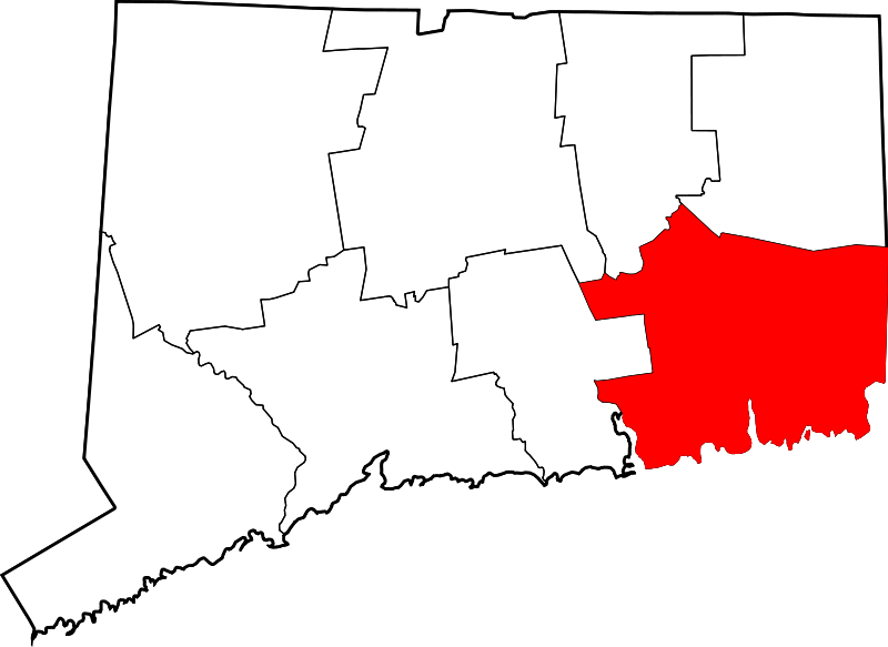
in Lebanon, CT

Parking: Small lot near 1644 Exeter Rd, Lebanon, CT

Trail Map          Trails: Less than a mile      Rating: ★★☆☆☆


Lake Williams is one of Connecticut’s ‘scenic reserve‘ state parks.

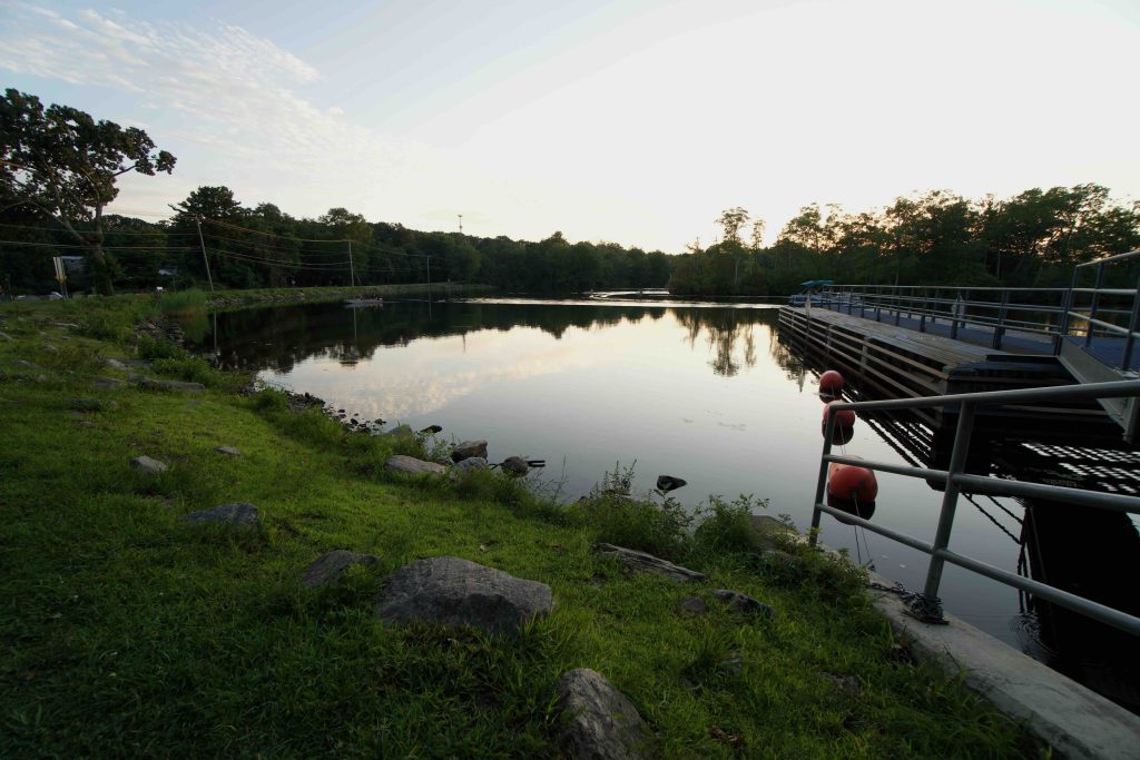
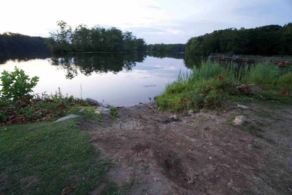
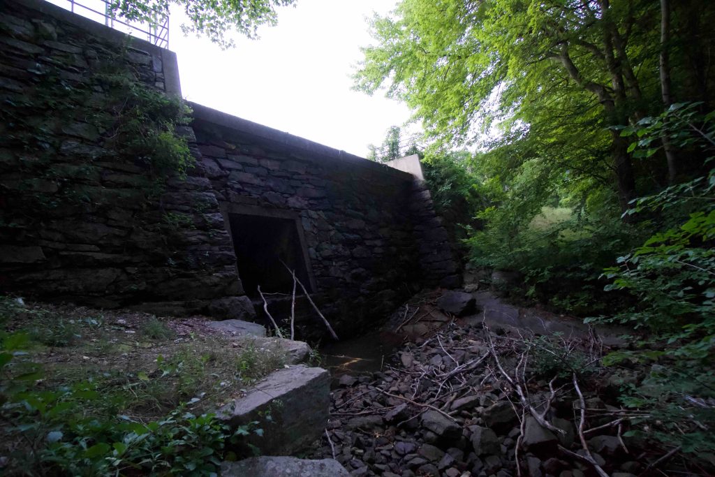
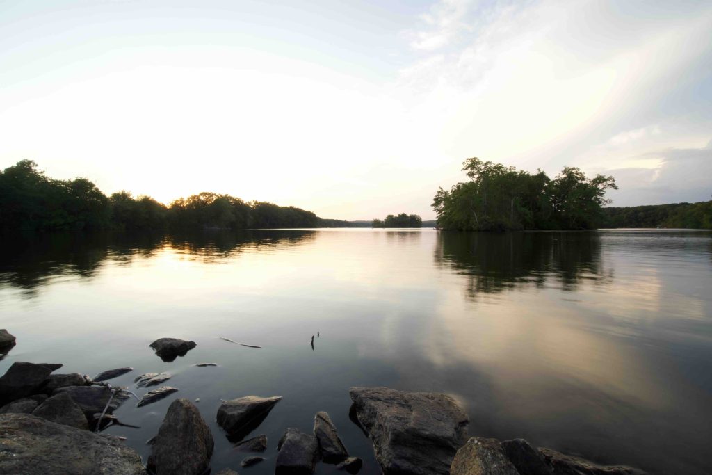
The main draw is the 272 acre body of water officially known as Williams Pond which is much larger than it appears from the road. A small dirt boat launch is suitable for most small craft to access the water.  A dam that controls the water level of the pond sits at the southeast end and there is a small path off the parking area to its base to view the man made waterfall.

Walking along the grass to the southwest end of the lake is a small picnic area under a tree and is a very popular fishing spot.

Hiking

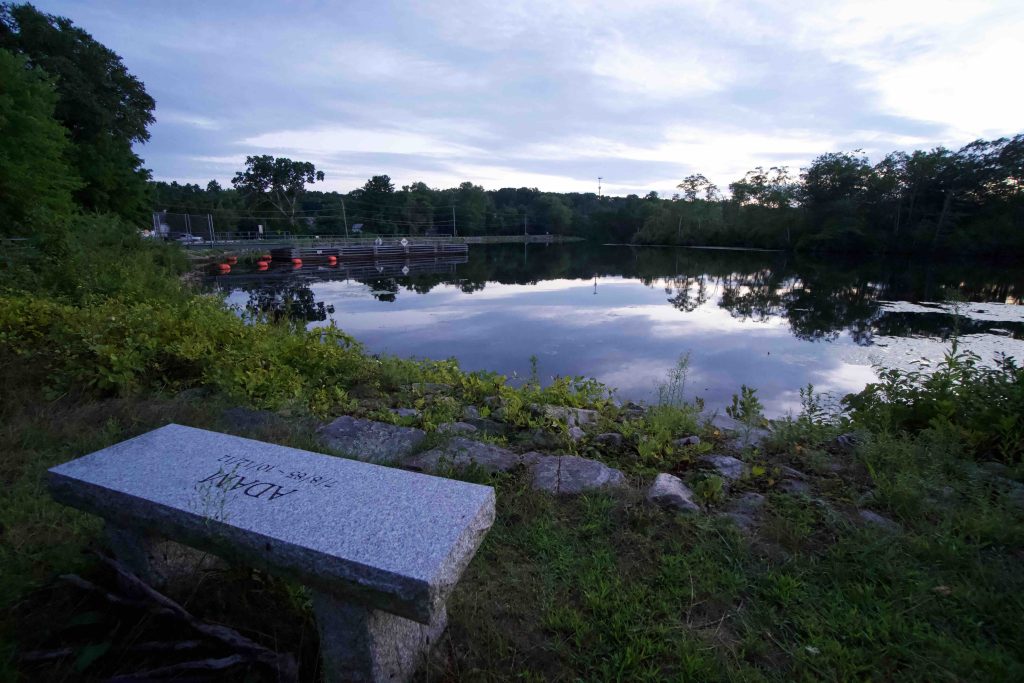
There is a trail (unconnected to the boat launch area) from a pull-off that looks like a driveway near the boat launch.  The road leads up to a gate and beyond that small clearings along the dam.  The trail is .25 miles long and dead ends at a clearing with a sign dedicating the area in memory of Adam Liebman, a local who passed away in 2012.

Boating

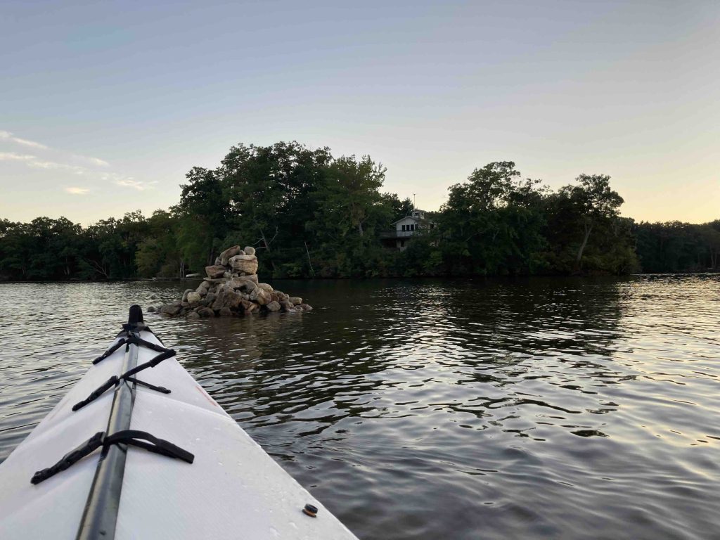
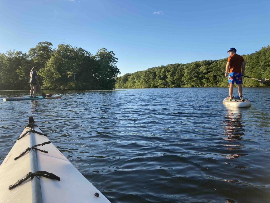
I paddled around the lake with two friends in September 2020.  We followed the quiet eastern edge of the pond between the islands and the wooded shore slowly making our way north.  Small jugs float on the water indicating some of the rocks hiding below the surface.

As you approach Fox Island the shore has been developed with closely packed houses and docks out into the water.  Fox Island has a small community of houses on the northern side.  The water was very active with a couple dozen craft from paddle boards to jetskis to large pontoon boats.  We explored the north end near Frog Plain Island which was bordered by heavy lily pads before making our way down the center of the pond.

At a casual pace the round trip took about 1.5 hours.  There are about 10 islands though most are inhabited, have No Trespassing Signs, or are too small/overgrown to bother exploring.

History:

I haven’t yet found a date for when it was established as a state park.  The property used to be privately owned, a 2014 map doesn’t show it and the first new article listing it as a state park is from 2018.

A history of the pond can be read here.


Links:

The information shown here is for general reference purposes only. exploreCT.org gives no warranty, expressed or implied, as to the accuracy or reliability of this data. Parking in all areas, whether designated here or not, is at your own risk. exploreCT.org is not responsible for any damage or loss to vehicles or contents.
Last updated September 5th, 2020

Visited 8636 times, 7 Visits today

Related Listings

Quaddick State Forest

★★☆☆☆

519-461 Quaddick Town Farm Rd, Thompson, CT 06277, USA

Quaddick State Forest Connecticut State Forest 1,109 acres in Thompson, CT Parking: Shoulder parking along 519-461 Quaddick Town Farm Rd, Thompson, CT Shoulder parking near 26 Wakefield…

Bluff Point State Park

★★★☆☆

55 Depot Rd, Groton, CT, USA

Bluff Point State Park Connecticut State Park 806 acres in Groton, CT Parking: Large lot near 55 Depot Rd, Groton, CT Trail Map         …

Whitestone Cliffs Trail

★★★★☆

Whitestone Cliffs Trail, Plymouth, CT, USA

Whitestone Cliffs Trail Connecticut Blue Blaze Trail and Connecticut State Forest 310 acres in Plymouth, CT Parking: Small pull-off near 331 Mt Tobe Rd, Plymouth, CT Trail…