Site logo
    • Explore
      • Blue-Blaze Trails
      • Land Trusts
      • State Parks and Forests
      • By Town
    • exploreCT+
      • Membership
      • Shop
      • Events
    • Blog
    • Town Guides
    Sign in or Register
    Listing cover image

    Shenipsit Trail: Dickinson Rd

    • Trails
      6 miles
    • Rating
      ★★☆☆☆
    • Address
      JFXJ+RM Glastonbury, CT, USA
    • Explore
    • Trail Map
    • Reviews 0
    • New Page
    • prev
    • next
    • Bookmark
    • Share
    • Get directions
    • Report
    • prev
    • next
    At A Glance

    Blue Blaze Trail and Connecticut State Forest

    in East Hampton and Glastonbury, CT

    Parking: Shoulder parking past 96 Dickinson Road, South Glastonbury, CT

    Trail Map        Trails: 6 miles       Rating: ★★☆☆☆

    This section of the Shenipsit Trail is contiguous with the southern terminus in that there is no defining feature/parking/or break between the two so it could be considered 1 nine-mile stretch between Gadpouch Rd and Dickinson Rd through parcels of the Meshomasic State Forest.

    Hiking

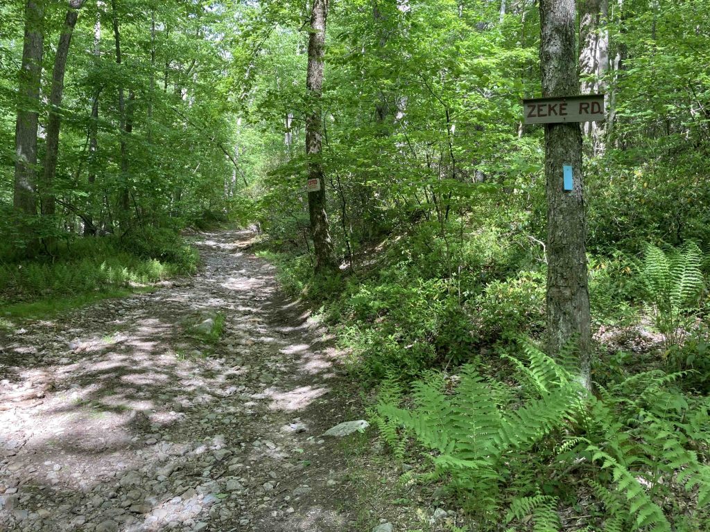
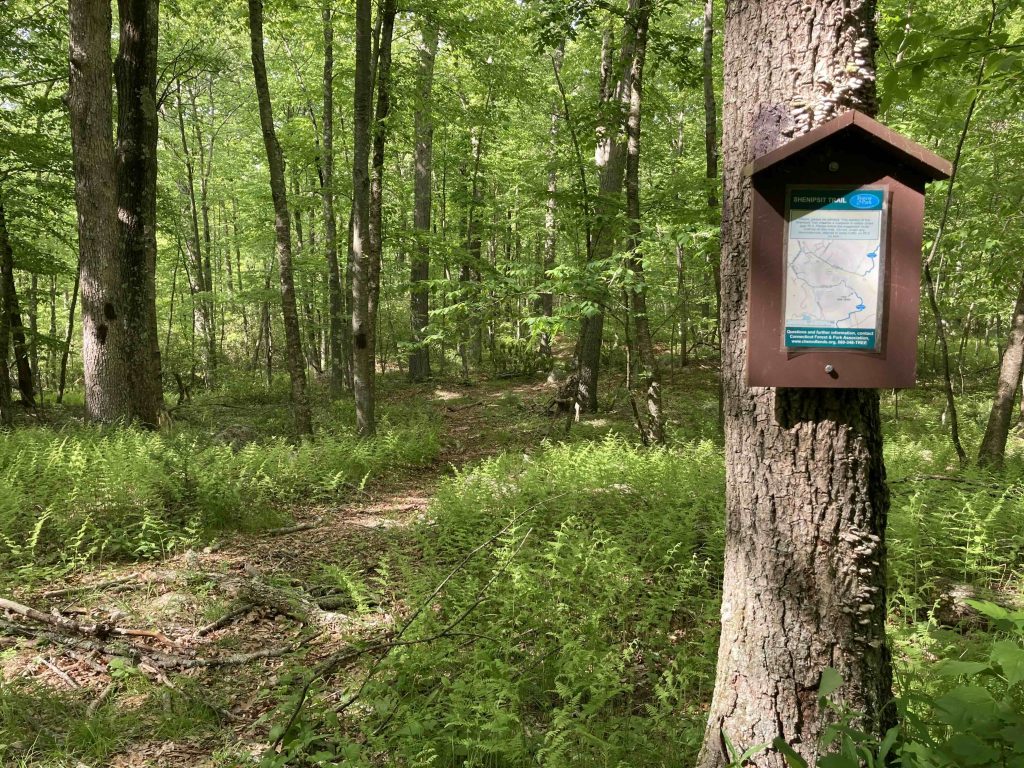
    I ran this section south from Dickinson Rd and turned around about a mile shy of Bald Hill.  This section follows old roads built by the CCC that often divide private land and state forest.  First a dirt section of Dickinsin Road, then a rocky uphill section of Zeke Rd, then muddy Portland Reservoir Rd.

    The first mile is well blazed with the new blue plastic bars, but beyond that you’ll need a careful eye for the faded paint blazes.  Since the trails are old roads they are easy to follow however there are a number of junctions and forks that require minimal navigation.

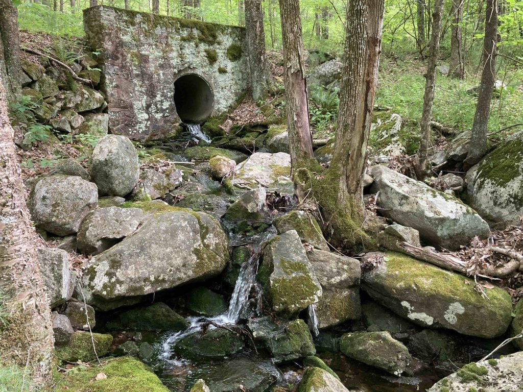
    There are no real highlights along this stretch so it’s just a peaceful walk in the woods on rolling terrain.  The trail does appear to be used frequently by dirtbikes and ATVs and from the size of some of the tracks occasional heavy machinery.

    Once you climb the forested Bald Hill, you’ll be in my section on the Southern Terminus.

    Heading north:

    The official route is a 2.8 mile road walk utilizing the paved section of Dickinson Road, Country Club Road, and Toll Gate Road to the Dark Hollow Section.

    There is an abandoned stretch of trail here now largely hidden where the Shenipsit used to descend a rocky spine to Route 2 where you would run across both lanes.

    History

    The official route used to require crossing over Rt. 2 which was likened to Frogger.  It was deemed too dangerous and the trail was rerouted with a road walk sometime around 2010.  In 2015, the CFPA attempted to get a ledge built in the culverts under Route 2 to avoid the 2.8 mile road walk, but the DOT shot the plan down.

    Links

    CTMQ – Shenipsit Section 1 (2009)

    Peter Marteka – Autumn Is Amazing For Strolls On The Shenipsit Trail (2000)

    Tags
    • ★★☆☆☆
    • 2020
    • 2023
    • East Hampton
    • Explored
    • Glastonbury
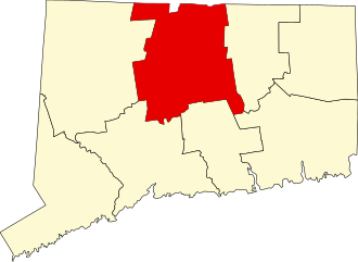
    • Hartford County
    • Meshomasic State Forest
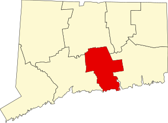
    • Middlesex County
    • Peter Marteka
    • Shenipsit Trail
    • State Forest
    Last Updated

    The information shown here is for general reference purposes only. exploreCT.org gives no warranty, expressed or implied, as to the accuracy or reliability of this data. Parking in all areas, whether designated here or not, is at your own risk. exploreCT.org is not responsible for any damage or loss to vehicles or contents. Last updated June 11th, 2023

    Trail Map
    Location
    • JFXJ+RM Glastonbury, CT, USA

      Get Directions
    Gallery
    Categories
    • Hiking
    Gallery
  • No comments yet.
  • Add a review

    Leave a Reply · Cancel reply

    Your email address will not be published. Required fields are marked *

    Overall Rating

    You May Also Be Interested In

    Spruce Brook Falls

    • ★★★★★
    • 16 miles
    Featured
    FW6F+CW Beacon Falls
    • Quick view
    • Bookmark

    Thach Preserve

    • ★★☆☆☆
    • 1 miles
    123 Brush Hill Rd
    • Quick view
    • Bookmark

    Mendell's Folly

    • ★★★★☆
    • 3.8 miles
    390 Beacon Rd
    • Quick view
    • Bookmark

    Hi, I’m Matt.

    I’m building ExploreCT to be the guide for all your outdoor adventures. All the trails, views, and waterways this great state has to offer.

    Now get out and explore!

    Monthly Newsletter

    Each month I share site updates or an interesting article in my newsletter. It’s short, sweet, and practical.

    600+ explorers read it, I’d love for you to join.

    Thank you!

    You have successfully joined our subscriber list.

    X-twitter Youtube Envelope Instagram

    Cart

      • Facebook
      • X
      • WhatsApp
      • Telegram
      • LinkedIn
      • Tumblr
      • Reddit
      • VKontakte
      • Mail
      • Copy link
      • Share via...
      • Threads
      • Bluesky