Site logo
    • Explore
      • Blue-Blaze Trails
      • Land Trusts
      • State Parks and Forests
      • By Town
    • exploreCT+
      • Membership
      • Shop
      • Events
    • Blog
    • Town Guides
    Sign in or Register
    Listing cover image

    Woodland Warbler Preserve

    • Trails
      3 miles
    • Rating
      ★★☆☆☆
    • Address
      290 West Rd, Salem, CT 06420, USA
    • Explore
    • Trail Map
    • Reviews 0
    • New Page
    • prev
    • next
    • Bookmark
    • Share
    • Get directions
    • Report
    • prev
    • next
    At A Glance

    Salem Land Trust

    272 acres in Salem, CT

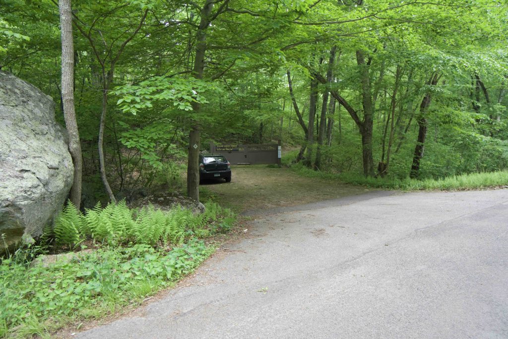
    Parking: Shoulder parking near 349 West Rd Salem, CT

    Trail Map           Trails: 2.6 miles         Rating: ★★☆☆☆

    Move over Salem Riverside Preserve, the Salem Land Trust has a new property.

    The Woodland Warbler Preserve trailhead starts at a large gate just off West Rd.  This area was previously private property and trails here are primarily old roads used by the former owner. I hiked nearly all the trails (except the inner red stretch) for a nice 3 mile hike that took just over an hour.

    Hiking

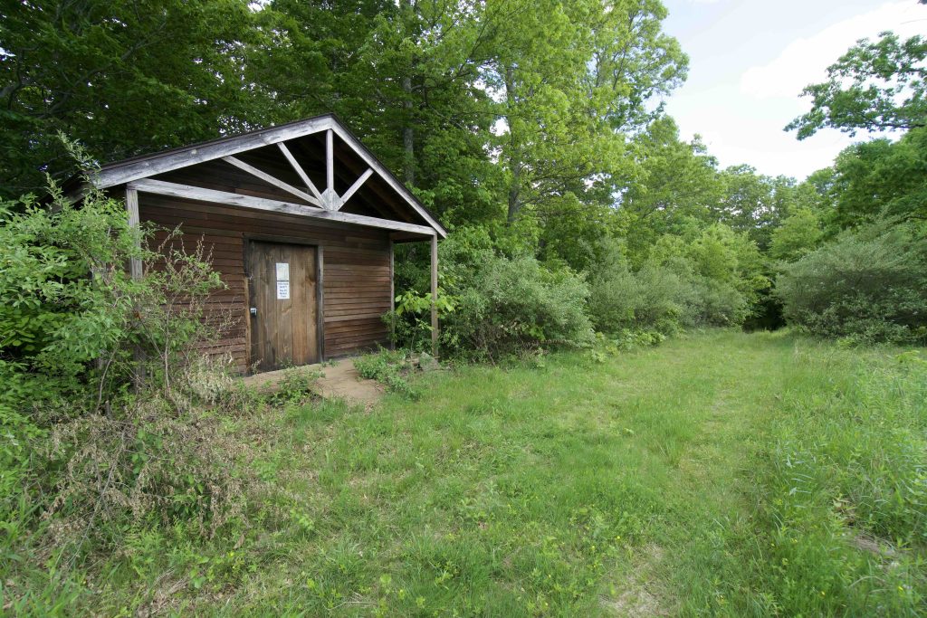
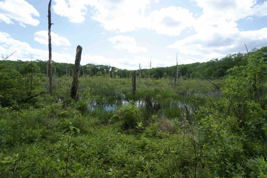
    The red trail starts down a long forested driveway along a tiny unnamed stream.  At the bottom the forest opens into a large 13 acre marsh that was filled with croaking frogs, a few ducks, and I’m sure quite a bit else.  The trail is wide and easy walking and soon reaches the first trail junction at a well preserved shed.  It’s difficult to see on the trail map but a white trail follows the marsh and connects to the red and yellow loops.

    Red Loop

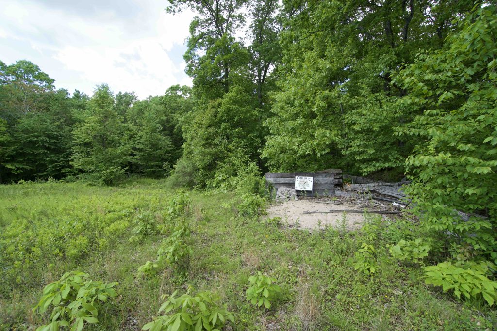
    The red loop is easily passable with a few gentle hills.  At the backside is a large open field that is now in early succession.  An old cabin sits on the edge of the field overlooking what used to a shooting range with a rest table and backstop among the high grass.

    Yellow Loop

    Partially following old roads like the rest of the trails the yellow does ascend into successive forested ridges.  As a result the trails are much more rugged and steep than the rest.  There are no real overlooks, but interesting features include an old hazardous materials barrel and an odd stone foundation/enclosure.

    There are a number of other roads running through the property, but the Salem Land Trust has several posted signs to stay on the blazed trails.  I abided and don’t know where the others lead, perhaps they will be developed by the land trust in the future.

    History

    Preserved in 2018 and 2019.  From the Salem Land Trust site,

    The first parcel was donated to SLT in 2018.  SLT purchased the additional 3 parcels in 2019, with a bargain sale from this seller.  These 3 parcels were sold to SLT for half their appraised value.  The funds to purchase these parcels were raised from a Large NAWCA [North American Wetlands Conservation Act] Grant, through a partnership with the State of CT DEEP, with additional grants given from the Bafflin Foundation, the Eightmile River Wild & Scenic Coordinating Committee, and donations from over 100 individuals.

    Tags
    • ★★☆☆☆
    • 2020
    • Explored
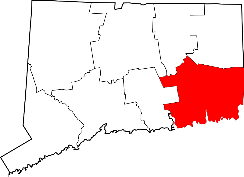
    • New London County
    • Salem
    • Salem Land Trust
    Last Updated

    The information shown here is for general reference purposes only. exploreCT.org gives no warranty, expressed or implied, as to the accuracy or reliability of this data. Parking in all areas, whether designated here or not, is at your own risk. exploreCT.org is not responsible for any damage or loss to vehicles or contents. Last updated June 1st, 2020

    Trail Map
    Location
    • 290 West Rd, Salem, CT 06420, USA

      Get Directions
    Gallery
    Categories
    • Hiking
    Gallery
  • No comments yet.
  • Add a review

    Leave a Reply · Cancel reply

    Your email address will not be published. Required fields are marked *

    Overall Rating

    You May Also Be Interested In

    Spruce Brook Falls

    • ★★★★★
    • 16 miles
    Featured
    FW6F+CW Beacon Falls
    • Quick view
    • Bookmark

    Thach Preserve

    • ★★☆☆☆
    • 1 miles
    123 Brush Hill Rd
    • Quick view
    • Bookmark

    Mendell's Folly

    • ★★★★☆
    • 3.8 miles
    390 Beacon Rd
    • Quick view
    • Bookmark

    Hi, I’m Matt.

    I’m building ExploreCT to be the guide for all your outdoor adventures. All the trails, views, and waterways this great state has to offer.

    Now get out and explore!

    Monthly Newsletter

    Each month I share site updates or an interesting article in my newsletter. It’s short, sweet, and practical.

    600+ explorers read it, I’d love for you to join.

    Thank you!

    You have successfully joined our subscriber list.

    X-twitter Youtube Envelope Instagram

    Cart

      • Facebook
      • X
      • WhatsApp
      • Telegram
      • LinkedIn
      • Tumblr
      • Reddit
      • VKontakte
      • Mail
      • Copy link
      • Share via...
      • Threads
      • Bluesky