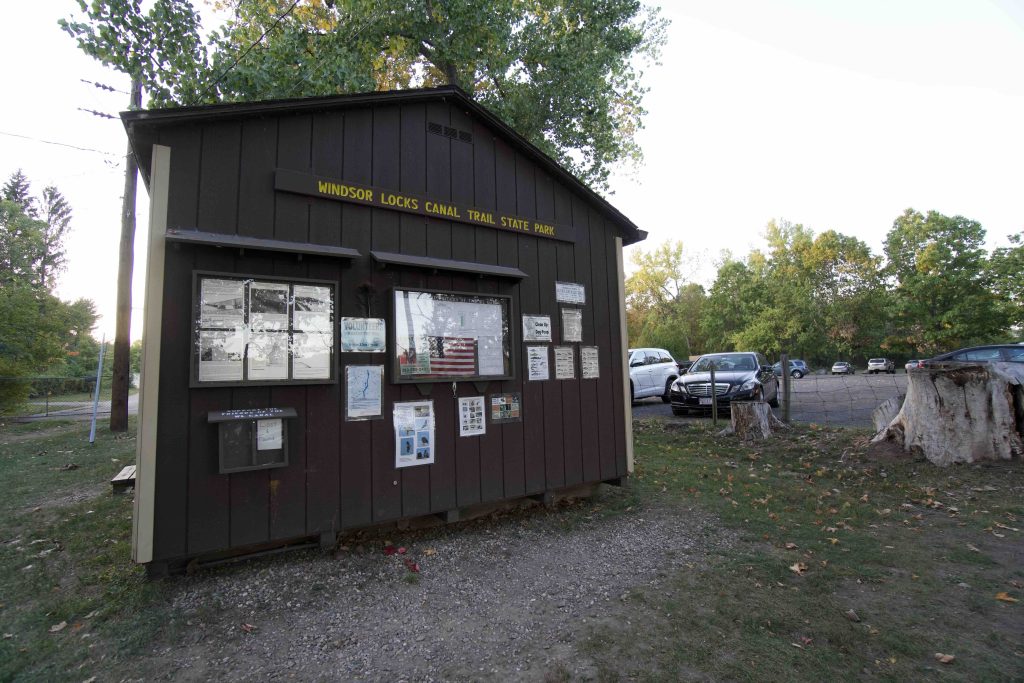
Windsor Locks Canal State Park

Connecticut State Park

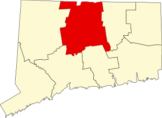
4.5 miles in Suffield and Windsor Locks, CT

Parking:

Trail Map          Trails: 4.5 miles        Rating: ★★☆☆☆


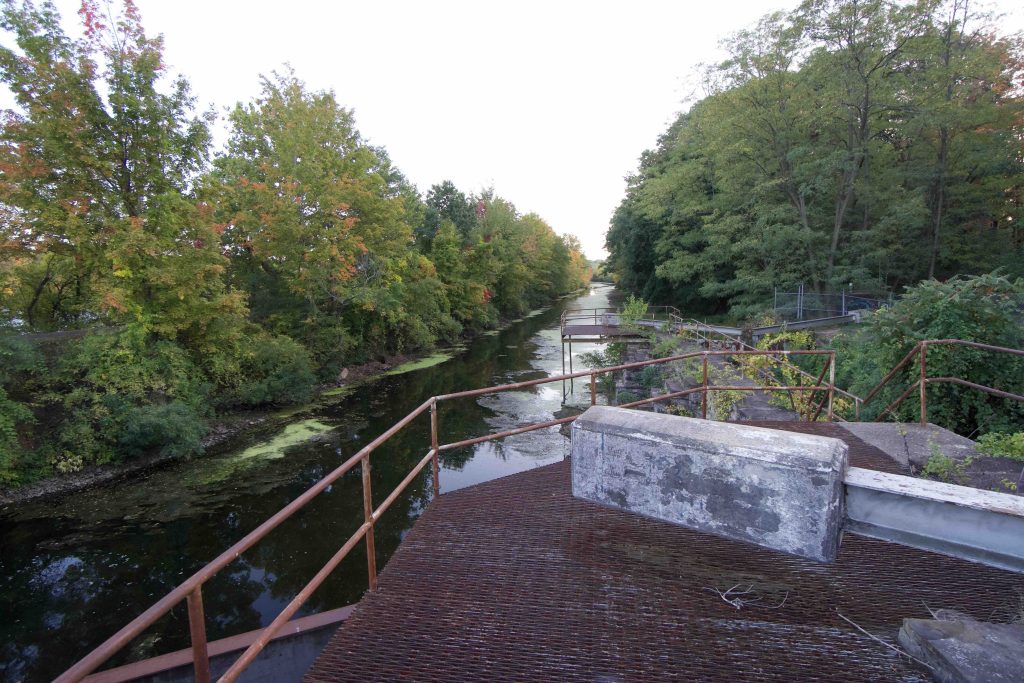
Windsor Locks Canal State Park is one of the state’s linear parks which runs about 4.5 miles from Rt. 190 south to Rt. 140.  The paved path is a popular destination for casual strolls and bike rides.  It is usually closed from November to March 31st and occasionally closes in the summer for nesting bald eagles.

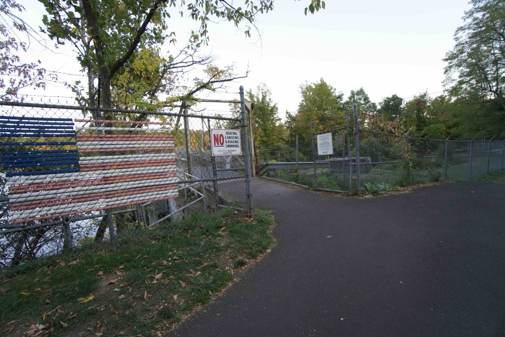
From the main north end parking area the trail heads off to the left over to a ramp that curves up onto Veteran’s Bridge (which extends the trail about 0.7 miles) and off to the right to enter the actual canal trail.  From the rusting initial lock you walk over a short bridge to a viewing platform of the Connecticut River and enter the narrow spit of land that holds the trail.

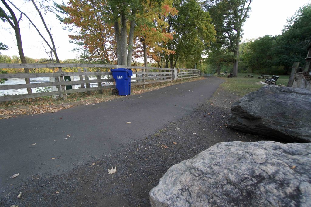
The path is flat with trees lining the edge and occasional views of the river or the canal.  About halfway between the two parking areas is a good view of King’s Island where Millerite Dewitt Terry held gathering anticipating the end of days.  I found it hard to justify walking the length of the trail so quickly turned around.  I aim to return with a bike and do the full length.

History:

The Windsor Locks Canal was constructed from 1827 to 1829 and operated until 1839 when a railroad was built on the opposite side of the Connecticut River.

The first push to turn the former tow footpath into a park was in the 1970s when, then State Senate majority leader, Cornelius O’Leary campaigned for one of his favorite childhood spots.  It took negotiating with Dexter Corp. who owned the actual canal, the DEEP to assume liability for the trail, and conservationists worried about the eagle nesting grounds on the banks of the Connecticut River.

In 1989 the state approved $2.75 million in fund to purchase land for the park

  • 1989 The state already owned 3.5 acres near the Enfield Dam
  • 1994 First major purchase of unknown acres
  • 1996 – 28 acres in Suffield

The pathway was paved in 1998 by the DOT contracted to Costello Industries out of Newington for $659,000.


Links:

The information shown here is for general reference purposes only. exploreCT.org gives no warranty, expressed or implied, as to the accuracy or reliability of this data. Parking in all areas, whether designated here or not, is at your own risk. exploreCT.org is not responsible for any damage or loss to vehicles or contents.
Last updated September 28th, 2020

Visited 3325 times, 2 Visits today

Related Listings

Higganum Reservoir

★★☆☆☆

41.489029, -72.561924

Higganum Reservoir State Park Connecticut State Park 147 acres in Haddam, CT Parking:  Small lot near 54 Killingworth Rd Higganum, CT Shoulder parking for boat launch past…

West Rock Ridge State Park

★★★★★

41.337800, -72.965522

West Rock Ridge State Park Connecticut State Park 1,691 acres in Hamden, Woodbridge, and Bethany, CT Parking: Main parking near 1134 Wintergreen Ave, New Haven, CT if the gate… Read more…

Stoddard Hill State Park

★★☆☆☆

41.460391, -72.065988

Stoddard Hill State Park Connecticut State Park 55 acres in Ledyard, CT Parking: Medium lot near 1917 CT-12, Gales Ferry, CT Trail Map       Trails: Less…