Photos

Description

Wabbaquasset Trail at Hibbard Forest

Connecticut Blue Blaze Trail

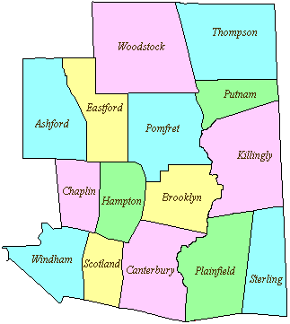
100 acres in Woodstock, CT

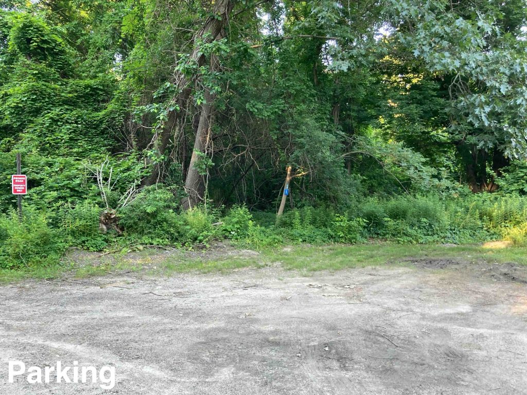
Parking: Small lot near 182 Pond Factory Rd, Woodstock, CT

Trail Map        Trails: 1.3 miles      Rating: ★★★☆☆


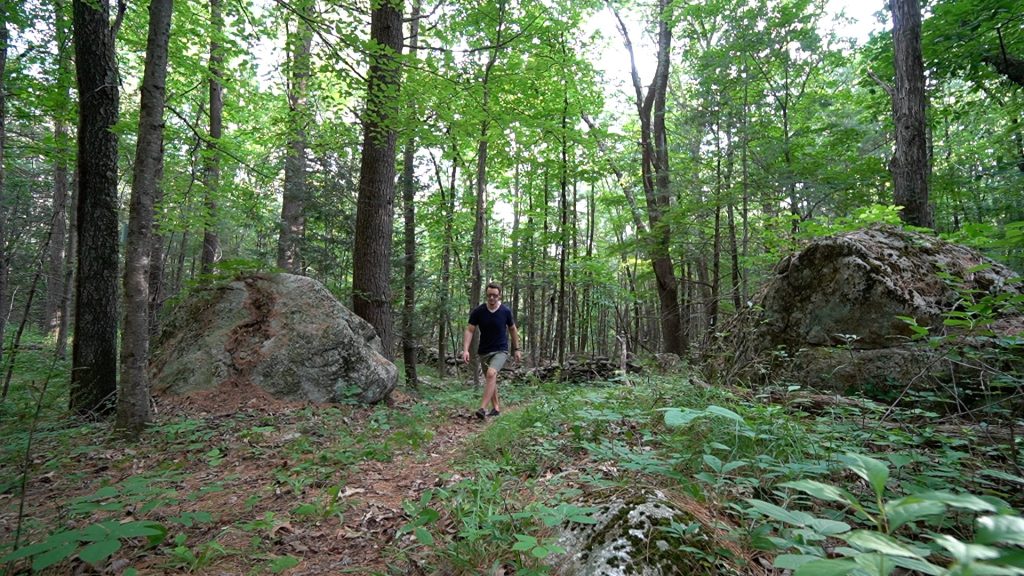
This property has been inaccessible since it was donated by John Hibbard but thanks to the hardworking staff and volunteers of the Connecticut Forest and Park Association we now have the state’s newest blue blaze trail, which officially opened on June 20th, 2022. The property features majestic old pines, mossy stonewalls, and rolling terrain with varied landscape.

Hiking

From the parking area just past Woodstock Town Beach there is a 0.2 mile blue/white connector trail through town owned property.  There are the foundations of something under all the overgrowth but you’ll hikely quickly past them and up a gentle slope to pass through a stonewall marking the entry into Hibbard Forest.  Just past twin boulders the trail splits into the loop and I took the right fork.

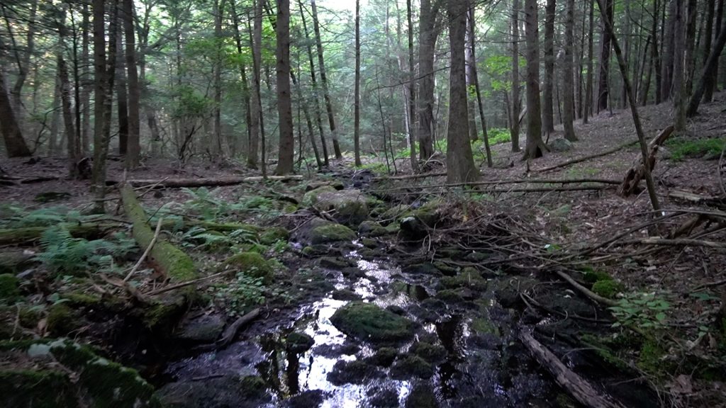
This side of the loop meanders slowly down through mixed hardwood forest with a few damaged pines.  The terrain levels out near an unnamed stony brook dark with black moss.  Looking back in the direction you came from the great slope is jutted with rock formations and bent pines.

After passing through another set of stonewalls you begin to climb again and the trail is cut into the hillside as it switchbacks through a pinefall.  The trail continues to climb through more sets of stonewalls each more dramatic than the last.  The terrain levels out a bit among massive old pines until just missing the summit of Griggs Hill.  I think the trail did go over the summit until one of those old pines fell right on top of it.

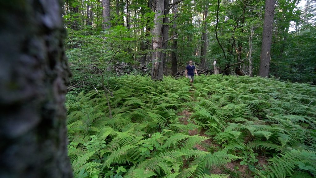
The loop completes through another series of stonewalls filled with ferns.

History:

The property was donated by John Hibbard (in 2017?).

Griggs Hill may be named for Joseph Griggs (1624-1714) who got the land grant for ‘New Roxbury’ now Woodstock, CT.


Links:

CFPA – Hibbard Forest Overview (2017)

The information shown here is for general reference purposes only. exploreCT.org gives no warranty, expressed or implied, as to the accuracy or reliability of this data. Parking in all areas, whether designated here or not, is at your own risk. exploreCT.org is not responsible for any damage or loss to vehicles or contents.
Last updated June 24th, 2022

Video

Visited 1651 times, 1 Visits today

Related Listings

Soapstone Mountain

★★★★☆

41.961605, -72.408513

Soapstone Mountain Connecticut State Forest 1800 acres in Ellington, Somers, and Stafford, CT Parking: Medium sized lot near 399 Gulf Rd, Somers, CT Trail Map     …

Deer Lake

★★☆☆☆

101 Paper Mill Road, Killingworth, CT, USA

Deer Lake Day Camp Pathfinders Inc Private Property 255 acres in Killingworth, CT Parking: Shoulder parking near 100 Papermill Rd, Killingworth, CT Trail Map       …

Indian Council Caves

★★★☆☆

41.949226, -72.929381

Indian Council Caves Tunxis Trail Unknown acres in Barkhamstead, CT Parking: Tunxis Trail: Small pull-off near 199 E Hartland Rd, Barkhamsted, CT Fire Road from Rt. 179:…