Photos

Description

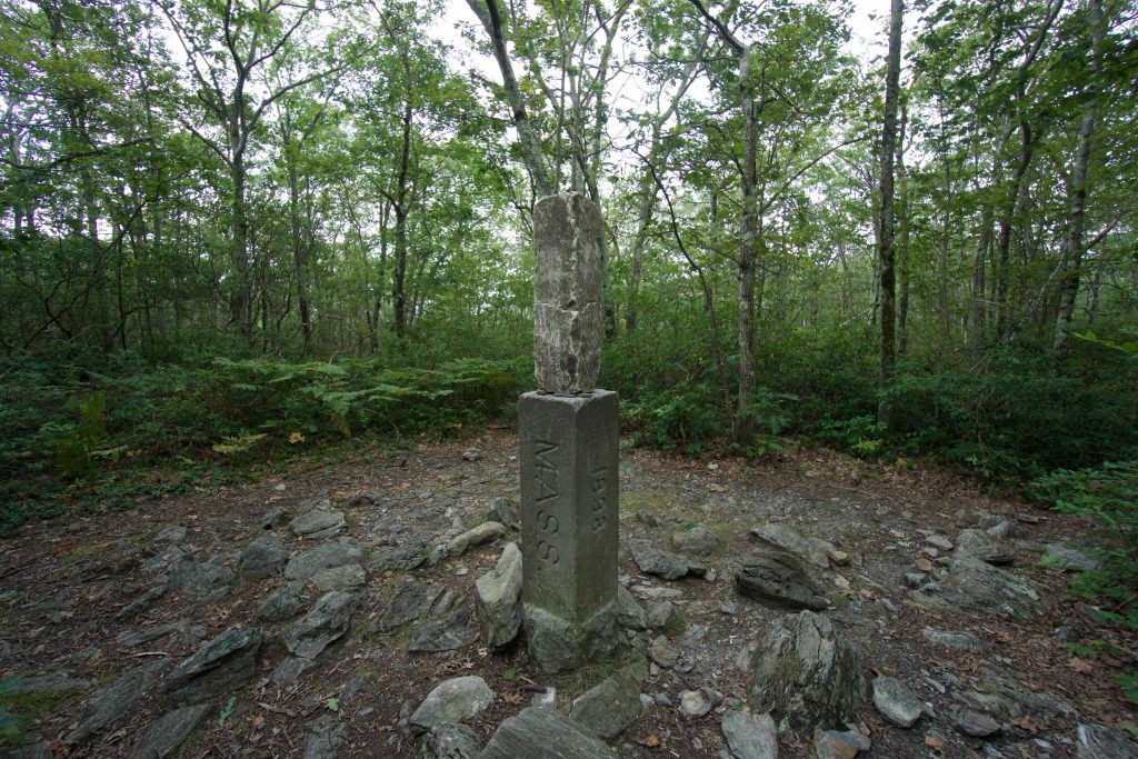
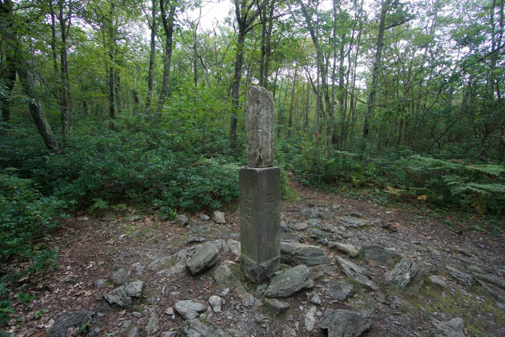
Tri-State Marker West

at the Border of New York, Massachusetts, and Connecticut

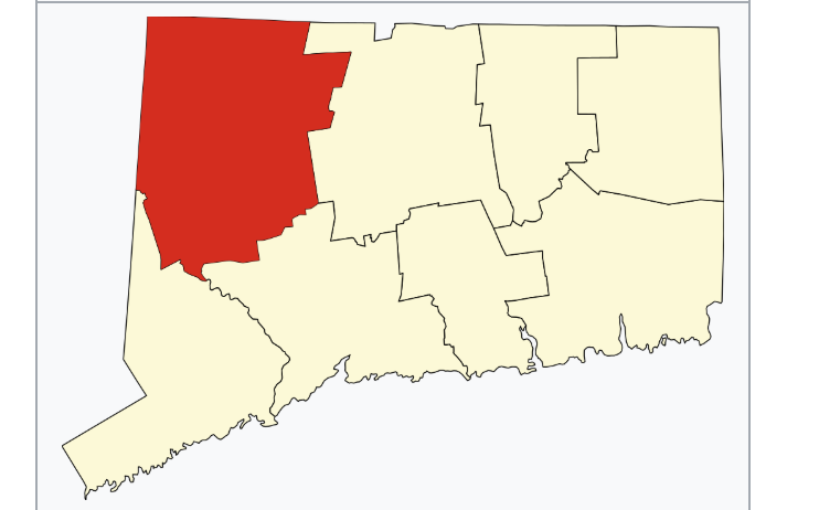
4282 acres in Salisbury, CT

Parking: Three small pull-offs at the CT/MA border Mt Washington Rd, Salisbury, CT

Trail Map     Trails 1.5 miles       Rating: ★★★☆☆

The above hike was tracked in reverse starting at the tri-state border marker heading back towards the trailhead on Mt Washington Rd.


Please excuse the marker, the map refuses to display the correct coordinates!

From the trailhead, the trail follows the CT/MA border up Round Mountain to within sight of the summit of Mt Frissel.  Then a quick descent around the slope for a total of 1.25 miles to the Connecticut highpoint. The trail has a couple steep scrambles but is easy enough and straightforward to follow the red blazes.  The red-blazed trail is a 5.4 mile loop, but most people seem to skip the rest of it (though I hear there are fantastic views if you continue).

The trail can be accessed from nearby Bear Mountain.  Taking the Undermountain Trail to the Appalachian Trail and then taking the left fork at the sign marked “Trail” there should be another sign stating “Bear Mtn Rd” which is confusing but the correct direction.  This trail splits again in another .6 miles, but both lead to Mt Washington Rd.  The trail is opposite the CT/MA border granite pillar.

From the Connecticut Highpoint it is about a quarter mile down to the tri-state marker for a total of 1.56 miles.  The area is heavily forested and there is a small rocky clearing around the stone pillar.  Both NY and MASS are marked, but CONN is not likely due to some ongoing border dispute.  The pillar is 3’9″ tall.

History:

Steve at CTMQ has a great write up of the border dispute in the link below.  The Connecticut corner of this property is owned by Mount Riga Incorporated.


Links:

Highpointers – #35 CT-MA-NY

CTMQ – CT-NY-MA Tri-Point (2012)

The information shown here is for general reference purposes only. exploreCT.org gives no warranty, expressed or implied, as to the accuracy or reliability of this data. Parking in all areas, whether designated here or not, is at your own risk. exploreCT.org is not responsible for any damage or loss to vehicles or contents.
Last updated Jan. 10, 2019

Visited 7246 times, 4 Visits today

Related Listings

Quinebaug River Trail

★★☆☆☆

39 Wauregan Rd, Danielson, CT 

Quinebaug River Trail Rails to Trails Conservancy 10 acres in Killingly, CT Parking: Medium sized lot near 39 Wauregan Rd, Danielson, CT  Trail Map       …

Tri State Marker East

★★★☆☆

42.007811, -71.805467

Tri State Border Marker CT, MA, RI in Thompson, CT Parking: Small lot near 652 E Thompson Rd, Thompson, CT Trail Map.       Trails: 2 miles …

South Meadows River Trail

★★☆☆☆

100 S Meadow Ln, East Hartford, CT, USA

South Meadows River Trail Goodwin University acres in East Hartford, Glastonbury, and Wethersfield, CT Parking: Small lot near 100 S Meadow Ln, East Hartford, CT Trail Map … Read more…