Photos

Description

Connecticut’s Highest Point

State Highpoint

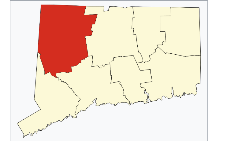
4284 acres in Salisbury, CT

Parking: Shoulder parking near East St, Salisbury, CT

Trail Map          Trails: 1.5 miles        Rating: ★★★☆☆

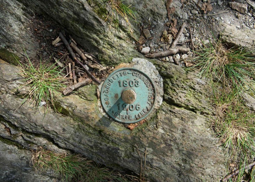
This hike was tracked backwards from the NY CT MA Tri point marker over the CT Highpoint back to the road


From the parking along Mt Washington Rd (which switches to East St at the Mass border) the trail is rugged, criss crossing the border.  There are several steep climbs and a bald summit or two along the way.  At 1.5 miles the trail is fairly short, but the ruggedness distorts the length.

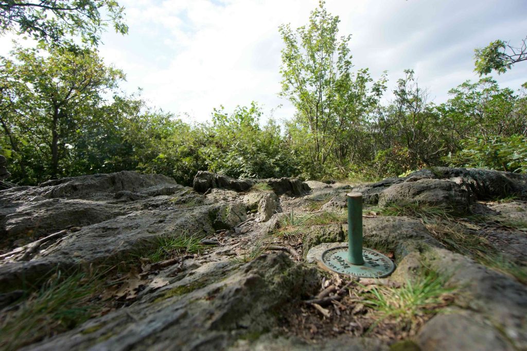
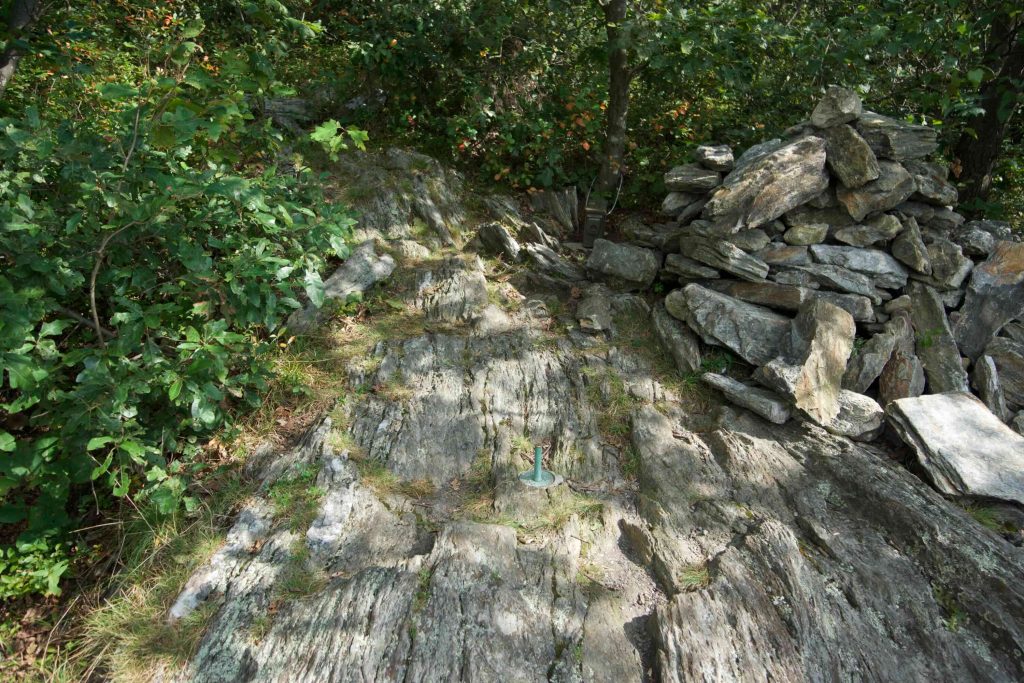
It only took me about 35 minutes to reach the highpoint a short descent from the spur trail to the summit of Mt. Frissel on the Massachusett’s side.  The highpoint is rather unassuming.  A rocky slab with a small cairn and a cache box with logbook.

From the highpoint I continued on the trail for another tenth of a mile to reach the NY CT MA border Tri-point.  The trail continues as a loop including reported fantastic views of Bryce Mtn, but I retraced my steps back to the road.  I had just finished my tour of the New England Summits and had a couple miles back over Bear Mtn.

History:

The property is owned by Mount Riga Incorporated which allows limited use of its trails.


Links:

CTMQ – Connecticut: Mt. Frissell (2017)

The information shown here is for general reference purposes only. exploreCT.org gives no warranty, expressed or implied, as to the accuracy or reliability of this data. Parking in all areas, whether designated here or not, is at your own risk. exploreCT.org is not responsible for any damage or loss to vehicles or contents.
Last updated September 2nd, 2018

Video

Visited 3584 times, 3 Visits today

Related Listings

Willimantic Whitewater Park

★☆☆☆☆

28 Bridge St, Willimantic, CT, USA

Willimantic Whitewater Park Willimantic Town Park 1 acre in Windham, CT Parking: Small lot near 28 Bridge St, Willimantic, CT Trail Map         Trails: No…

Mystic River

★★★☆☆

550 River Rd, Mystic, CT 06355, USA

Mystic River Connecticut State Boat Launch in Groton and Stonington, CT Parking: Medium sized lot near 550 River Rd, Mystic, CT Trail Map     Trails: 3 miles…

Sperry Falls

★★☆☆☆

Sperry Rd, Woodbridge, CT 06525, USA

Sperry Falls Park Woodbridge Town Park and Regional Water Authority Property 4 acres in Woodbridge, CT Parking: Seasonal parking near Sperry Rd, Woodbridge, CT RWA Permit Parking… Read more…