Photos

Description

Tolland Agricultural Center

Tolland Ag Center Property and Blue Blaze Trail

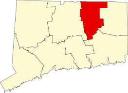
30.81 acres in Tolland and Vernon, CT

Parking: Small lot near 24 Hyde Ave, Vernon, CT 

Trail Map        Trails: 0.6 miles      Rating: ★★☆☆☆


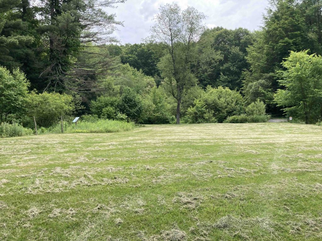
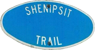
This small property centered around farming and agriculture hosts a short half-mile section of the Shenipsit Trail.  Coming from the road walk along Rt-30 the trail turns down the Center’s driveway to passes the offices, pavilion, and greenhouses on the property.  The trail continues on a straight shot all the way to the back corner of the long grassy field where there is a chain gate and signs that show you are still on the Shenipsit and to Be Bear Aware.

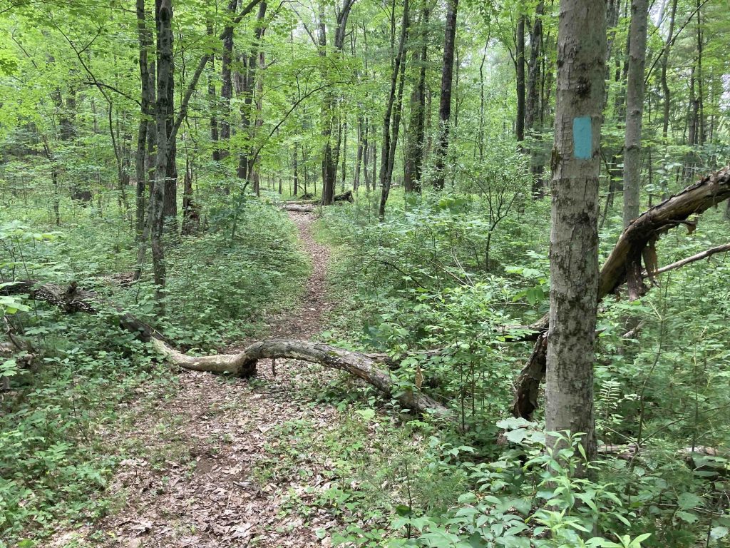
The trail enters the tree line briefly before opening into a tiny well maintained field with a pollinator garden.  The trail continues on a bridge over Gages Brook to then pass a small pond ringed by evergreens. The rest of the wooded trail is peaceful but pretty uneventful before a quick steep climb to join Gerber Drive.

Previous Section: 1.0 mile road walk along Reservoir Rd to Rt. 30 to pass under I-84 Tankerhoosen WMA

Next Section: 1.2 mile road walk along Gerber Dr/Kingsbury Ave/Rt. 74 to Shenipsit Lake

History:

In 1955 local farmers joined together to purchase a part of Vernon’s town farm for $10,000 to create a permanent home for Tolland County Extension service and farm bureau.


Links:

The information shown here is for general reference purposes only. exploreCT.org gives no warranty, expressed or implied, as to the accuracy or reliability of this data. Parking in all areas, whether designated here or not, is at your own risk. exploreCT.org is not responsible for any damage or loss to vehicles or contents.
Last updated June 12th, 2023

Visited 617 times, 1 Visits today

Related Listings

Walden Preserve

★★★☆☆

41.480951, -72.275345

Walden Preserve The Nature Conservancy managed by The Salem Land Trust 400 acres in Salem, CT Parking: Small lot near 191 Hagen Rd, Salem, CT Trail Map   …

Westfield Falls

★★★☆☆

41.580506, -72.714953

Westfield Falls Middletown Town Park 4 acres in Middletown, CT Parking: Shoulder parking near 267 Miner St Middletown, CT Trail Map           Trails: 0.3…

Mamacoke Island

★★☆☆☆

41.391195, -72.099637

Mamcoke Island Connecticut State College Arboretum Park 40.5 acres in Waterford, CT Parking: Small pull off near 44 Benham Ave Quaker Hill, CT Trail Map      …