Tankerhoosen Wildlife Management Area

Connecticut WMA

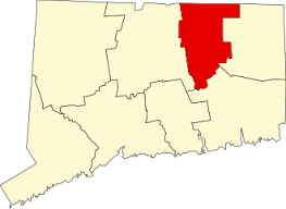
449 acres in Vernon, CT

Parking:

Trail Map         Trails: 1.1 miles        Rating: ★★☆☆☆


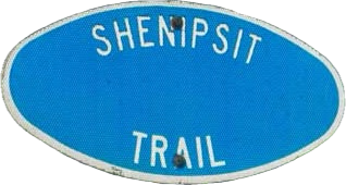
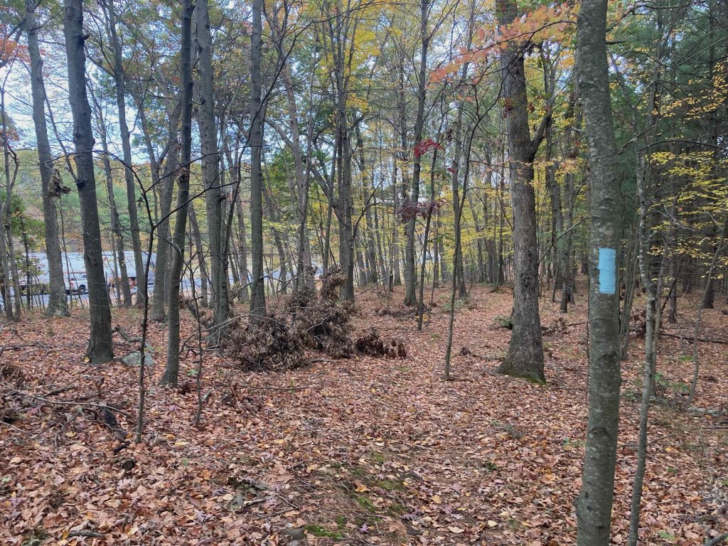
The Tankerhoosen WMA, one of Connecticut’s wildlife management areas, is trailed almost entirely by the blue blaze Shenipsit Trail.

Oddly, the trail doesn’t follow the Tankerhoosen River through the heart of the property and instead crosses Baker Rd and within sight of busy I-84.  With 400 acres to work with here the trail could certainly be rerouted away from I-84 to avoid the noise, fencing, and trash but I’m sure there are good reasons why it hasn’t.

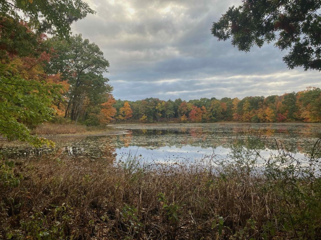
After about 0.6 miles pinched against the highway the Walker Reservoir West will come into view on your right and the trail turns away from the highway and around the pond.  The trail comes out on Reservoir Rd to join the road walk part of Walker’s Reservoir.

Previous Section: Belding WMA

Next Section: 1.0 mile road walk to the Tolland Agricultural Center

History:

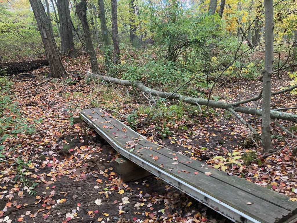
Much of the land was bought in the early 1900s by Lebbeus Bissell (along with Belding WMA’s Frederick Belding) who used the properties for year-round family recreation, stocking the river with trout and the forests with pheasants and partridge. They kept three hunting and fishing cabins along the brook, maintained paths, cross-country ski trails, lumbered where necessary, and hiked throughout the property. Remnants of their stonework and bridges can be seen along the river. 

The land was purchased by the state in 2011 for $3 million.


Links:

Peter Marteka – State Purchases 450 Acres Along Tankerhoosen River (2012)

The Tankerhoosen – Tankerhoosen WMA

The information shown here is for general reference purposes only. exploreCT.org gives no warranty, expressed or implied, as to the accuracy or reliability of this data. Parking in all areas, whether designated here or not, is at your own risk. exploreCT.org is not responsible for any damage or loss to vehicles or contents.
Last updated October 19th, 2020

Visited 3041 times, 1 Visits today

Related Listings

Nayantaquit Trail

★★★☆☆

41.395990, -72.307044

Nehantic State Forest: Nayantaquit Trail Connecticut State Forest and Blue Blaze Trail 1,667 acres in Lyme, CT Parking: Large lot near Keeny Rd, Lyme, CT Trail Map … Read more…

Natchaug Trail: Lyon Rd

★★★☆☆

41.8716650, -72.0878170

Natchaug Trail – Lyon Rd Connecticut Blue Blaze Trail in Eastford, CT Parking: Shoulder parking across from the cemetery at Lyon Rd (41.8716650, -72.0878170) Trail Map    …

Rocky Glen State Park

★★★☆☆

29 Dayton St, Sandy Hook, CT, USA

Rocky Glen State Park Connecticut State Park 46 acres in Newtown, CT Parking: Small lot near 29 Dayton St, Sandy Hook, CT Trail Map       …