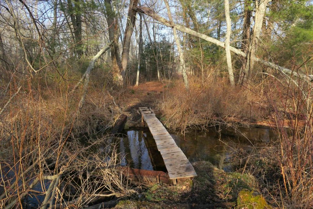
Sugar Brook / Quinebaug River Wildlife Management Area / Tillinghast Preserve

Sugar Brook Field Trial and Wildlife Management Area and Wyndham Land Trust

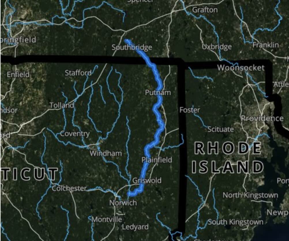
Estimated 400 acres in Plainfield, CT

Parking: Large dirt lot at the end of Sugar Brook Rd near 161 Black Hill Rd Plainfield, CT

DEEP Hunting Map      Trails: 5 miles       Rating: ★★☆☆☆


I was initially confused by Sugar Brook.  Google Maps lists it as a state park, but no DEEP information (other than the hunting map) mentions it.  However, after becoming a bit more familiar with how these work, Sugar Brook is one of Connecticut’s 105 Wildlife Management Areas and this Sugarbrook Field Trail Area is part of the larger Quinebaug River WMA.  Most follow the same pattern, no information online but generally a wealth of old paths and logging roads.

There are a number of fields to explore right off the parking lot that are maintained for Field Trial purposes.  Just beyond the fields are wood roads, caution should be taken in these areas for possible hunting. 

Heading back down the entrance dirt road a bit will reach the 4.7 mile blue-blazed loop trail.  The trail starts on Wyndham Land Trust property at the Tillinghast Preserve.  The preserve is only 30 acres so the trail soon enters Sugar Brook property looping around the fields, through pine forest, and heading north towards the Quinebaug River.

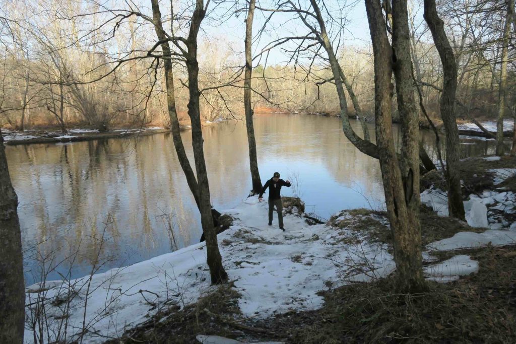
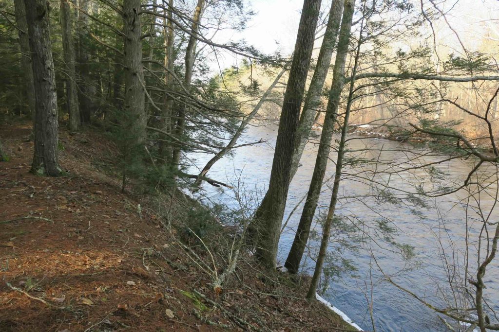
Though it is well blazed, for the most part, it can get confusing when crossing the more obvious woods roads.  The sections along the Quinebaug River are beautiful with a wide viewpoint at a bend in the river.  The route seems well traveled and somewhat maintained.  The second half passes through old stone walls and along a ridge around a beaver pond.  It is moderately difficult with a few steep climbs/descents and it could be muddy in the spring.

History:


Links:

The information shown here is for general reference purposes only. exploreCT.org gives no warranty, expressed or implied, as to the accuracy or reliability of this data. Parking in all areas, whether designated here or not, is at your own risk.exploreCT.org is not responsible for any damage or loss to vehicles or contents.
Last updated: December 9th, 2018

Visited 5078 times, 5 Visits today

Related Listings

Lyon Preserve

★★☆☆☆

41.850106, -71.932701

Lyon Preserve Wyndham Land Trust 46.4 acres in Pomfret, CT Parking: Small pull off at 28 Wrights Crossing Rd, Pomfret Center, CT Trail Map      Trails: 1…

Tefftweald at Birchenturn

Unexplored

41.470793, -71.846749

Tefftweald at Birchenturn Avalonia Land Conservancy 76.8 acres in North Stonington, CT Parking: Down the lane near 281 Grindstone Hill Rd, North Stonington, CT Trail Map       …

Dudley Barrows Woods

Unexplored

41.355052, -72.718223

Dudley Barrows Woods Guilford Land Trust 120 acres in Guilford, CT Parking: At Dudley Farm near 2351 Durham Rd, Guilford, CT Trail Map         …