Site logo
    • Explore
      • Blue-Blaze Trails
      • Land Trusts
      • State Parks and Forests
      • By Town
    • exploreCT+
      • Membership
      • Shop
      • Events
    • Blog
    • Town Guides
    Sign in or Register
    Listing cover image

    Soapstone Mountain

    • Trails
      18 miles
    • Rating
      ★★★★☆
    • Address
      399 Gulf Rd, Somers, CT, USA
    • Explore
    • Trail Map
    • Reviews 0
    • New Page
    • prev
    • next
    • Bookmark
    • Share
    • Get directions
    • Report
    • prev
    • next
    At A Glance

    Connecticut State Forest

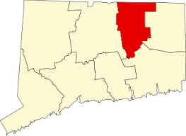
    1800 acres in Ellington, Somers, and Stafford, CT

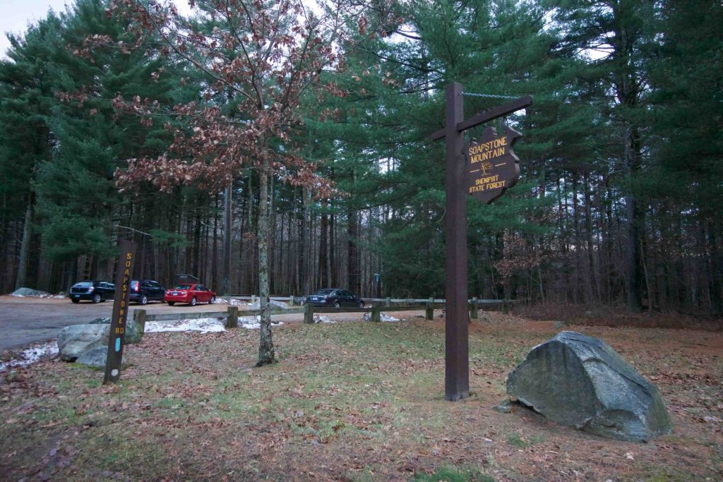
    Parking: Medium sized lot near 399 Gulf Rd, Somers, CT

    Trail Map        Trails: 18 miles           Rating: ★★★★☆

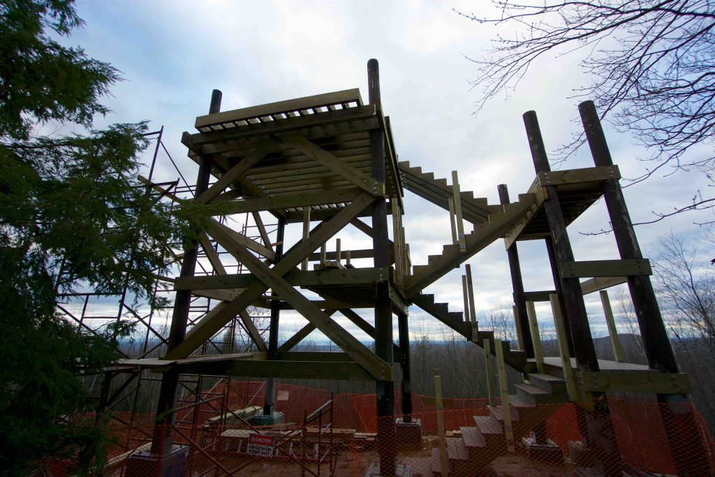
    Soapstone Mountain is the highlight of the 11 Shenipsit State Forest parcels.  The tower near the summit has been newly rebuilt in 2019 and is once again open for all to enjoy.  There are miles of trails to explore, picnic areas, and annual 24k and 6k races put on by the Shenipsit Striders.

    Hiking

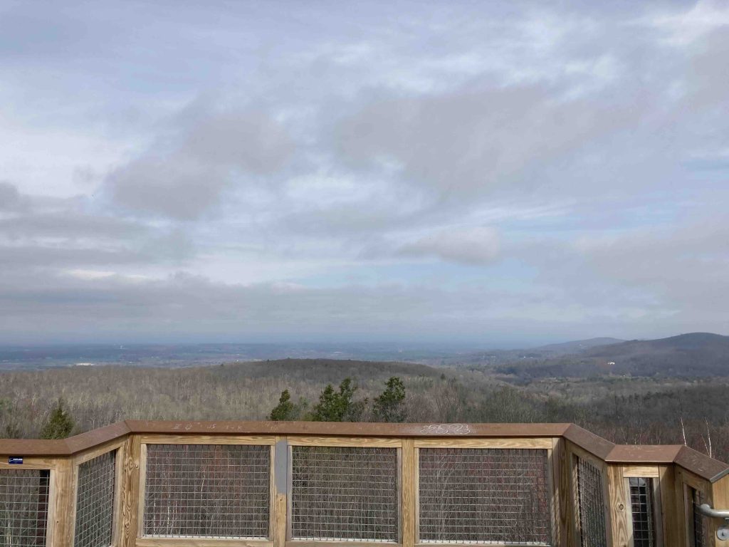
    From the main parking area the the trail heads off into the pines for a quarter mile before taking a southern turn.  The trail splits with the right fork heading around the mountain and the left fork starting the climb up the mountain.  The climb is only a quarter mile up a rocky slope, but isn’t very difficult and I’ve seen many complete it with ease.  The trail passes right by the tower which had been closed for a few years until the town and state approved funds to completely rebuilt it. The view north is well worth the hike.

    Just past the tower is a cell tower and beyond that the road up to the tower with picnic areas along the ridgeline.  Trails from the tower continue off in every direction.  While the trail map shows the majority of trails in the area around the tower, the father south you go the more unmarked ones there are. Be prepared for rugged, rocky, hilly terrain.

    Blue – Shenipsit Trail – 6.1 miles

    This section of the Shenipsit Trail runs from Sodom Rd all the way down to Hopkins Rd.  This section is fairly rugged running over rocky hills, small ledges, vernal pools and past the lookout tower at the summit.

    • Heading south: 0.2 mile road walk on Rt 140/Hopkins Rd to Lake Bonair
    • Heading north: 0.8 mile road walk on Sodom Rd/Rt-190/Galbraith Rd to North Terminus
    History

    Soapstone Mountain was the first land purchased for the Shenipsit State Forest in 1927 in order to build a fire lookout tower.  The north edge of the property is the site of the Civilian Conservation Corps Camp Conner in 1935 and the present day site of the CCC Museum.

    Links

    Caretakers of Soapstone

    Peter Marteka – Soapstone Mountain Has A Perfect View, No Matter The Season (2014)

    Peter Marteka – A New Observation Tower With Same Spectacular View On Top Of Soapstone Mountain in Somers (2018)

    Tags
    • ★★★★☆
    • 2018
    • 2021
    • 2023
    • 2024
    • Ellington
    • Explored
    • Overlooks
    • Peter Marteka
    • Shenipsit State Forest
    • Shenipsit Trail
    • Somers
    • Stafford
    • State Forest
    • Tolland County
    • Towers
    Last Updated

    The information shown here is for general reference purposes only. exploreCT.org gives no warranty, expressed or implied, as to the accuracy or reliability of this data. Parking in all areas, whether designated here or not, is at your own risk. exploreCT.org is not responsible for any damage or loss to vehicles or contents. Last updated April 11th, 2021

    Trail Map
    Location
    • 399 Gulf Rd, Somers, CT, USA

      Get Directions
    Gallery
    Categories
    • Hiking
    • Trail Running
    Gallery
  • No comments yet.
  • Add a review

    Leave a Reply · Cancel reply

    You must be logged in to post a comment.

    You May Also Be Interested In

    Spruce Brook Falls

    • ★★★★★
    • 16 miles
    Featured
    FW6F+CW Beacon Falls
    • Quick view
    • Bookmark

    Arnold E. Holm Jr. Memoral Park

    • Unexplored
    • 0.3 miles
    37 Rope Ferry Rd
    • Quick view
    • Bookmark

    Camp Oakdale

    • Unexplored
    • 1.4 miles
    176 Meeting House Ln
    • Quick view
    • Bookmark

    Hi, I’m Matt.

    I’m building ExploreCT to be the guide for all your outdoor adventures. All the trails, views, and waterways this great state has to offer.

    Now get out and explore!

    Monthly Newsletter

    Each month I share site updates or an interesting article in my newsletter. It’s short, sweet, and practical.

    600+ explorers read it, I’d love for you to join.

    Thank you!

    You have successfully joined our subscriber list.

    X-twitter Youtube Envelope Instagram

    Cart

      • Facebook
      • X
      • WhatsApp
      • Telegram
      • LinkedIn
      • Tumblr
      • Reddit
      • VKontakte
      • Mail
      • Copy link
      • Share via...
      • Threads
      • Bluesky