Shenipsit Trail: North Terminus

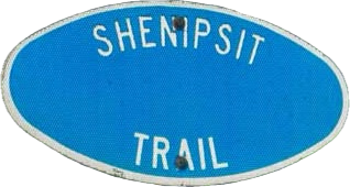
Connecticut State Forest and Blue Blaze Trail

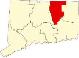
716 acres in Somers and Stafford, CT

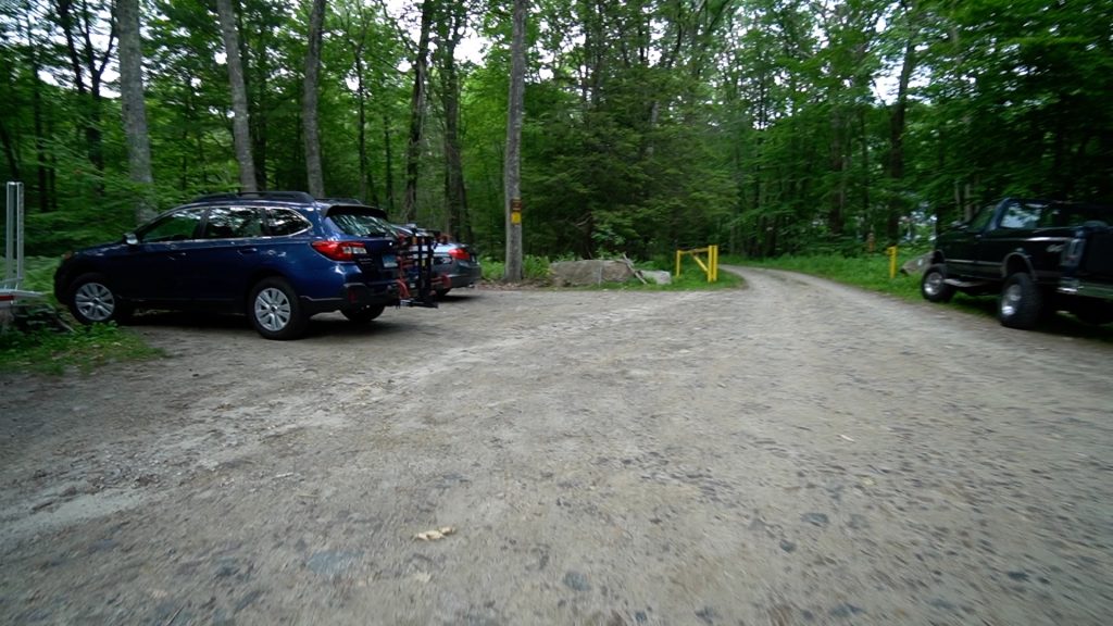
Parking:

Trail Map             Trails: 3.2 miles         Rating: ★★☆☆☆

Screenshot


I purposefully saved this north end of the Shenipsit Trail un-hiked until my thru-hike in 2023.  I thought it would appropriate to explore brand new trail at the end of the experience. I was pretty tired after hiking the previous 47 miles and pretty sore too so I don’t think I fully got to enjoy these last couple miles.  This rugged and hilly property has a lot to offer and I’m looking forward to going back, perhaps to do some trail running.

Hiking

The trail enters off Galbraith Road briefly taking the gated gravel Avery Road before making a hard turn into the forest to cross the rocky Lievre Brook.  The trail then gradually climbs to an wide old tote road and crosses Old Country Road to enter true trail.

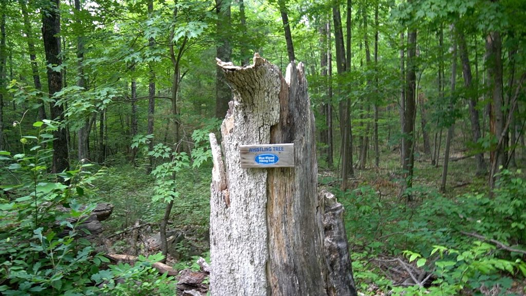
The last 3/4s are rocky outcrops and the valleys between them.  Nothing terribly unique other than a tree with an official sign calling it the Whistling Tree.  It’s mostly just a stump now and maybe the wind catches it just right sometimes.  The trail does climb one particularly large hill at the north end and there’s some kind of tiny view that likely improves in the winter.

The trail then makes a long sloping rock strewn descent until reaching Old Springfield Road.  Then heading about 500 ft down Greaves Road to it’s current unceremonious end on the side of the road. There is another parcel of the Shenipsit State Forest to the north here that would get you within a mile of the Mass border and I’m sure the CFPA has long term plans to extend the trail in that direction.

Heading South: 0.8 mile road walk on Galbraith Rd/Rt-190/Sodom Rd towards Soapstone Mountain

History:

The used to continue west and north to cross over Bald Mountain and The Pinnacle before continuing on past north of Camp Aya-Po to just shy of the planned end at the Massachusetts border on Rattlesnake Hill.  Unfortunately that section has been abandoned for a few decades now.


Links:

The information shown here is for general reference purposes only. exploreCT.org gives no warranty, expressed or implied, as to the accuracy or reliability of this data. Parking in all areas, whether designated here or not, is at your own risk. exploreCT.org is not responsible for any damage or loss to vehicles or contents.
Last updated June 12th, 2023

Visited 649 times, 1 Visits today

Related Listings

Nathan Hale State Forest

★★★☆☆

41.764554, -72.347094

Nathan Hale State Forest Connecticut State Forest 1,529 acres in Coventry, CT Parking: Large lot at 2299 South St, Coventry, CT Trail Map        Trails: 12…

Morey Pond Boat Launch

★★☆☆☆

41.970439, -72.194359

Morey Pond Boat Launch Connecticut State Water Access 44 acres in Union, CT Parking: Down the road near 723 Buckley Hwy Union, CT Trail Map     …

Wesleyan Woods Conservation Area

★★☆☆☆

647 Country Club Rd, Middletown, CT 06457, USA

Wesleyan Woods Conservation Area / Tynan Memorial Park Middletown Town Park 590.25 acres in Middletown, CT Parking: Large lot near 644 Country Club Rd, Middletown, CT Trail…