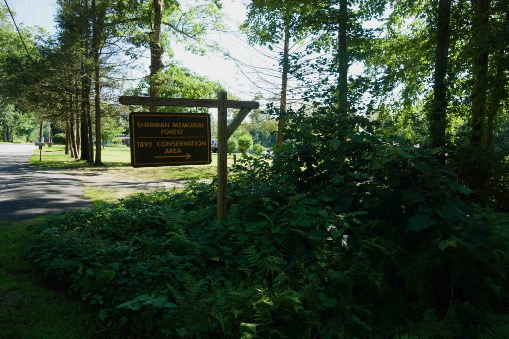
Photos

Description

Rainsford B. Sherman Memorial Forest / 1892 Conservation Area

Wolf Den Land Trust

95 acres in Killingly, CT

Parking: Tiny lot for two cars at 175 Breakneck Hill Rd Killingly, CT

Trail Map     Trails: 1.85 miles    Rating: ★☆☆☆☆


Sherman Memorial Forest is actually two properties merged in a cooperative effort.  The forest section managed by the Wolf Den Land Trust of 90 acres and another 72 owned by the Town of Killingly called the 1892 Conservation Area.  The effort is to “preserve its natural state for passive recreation, environmental and historical education, wildlife habitat, and ecosystem protection.”

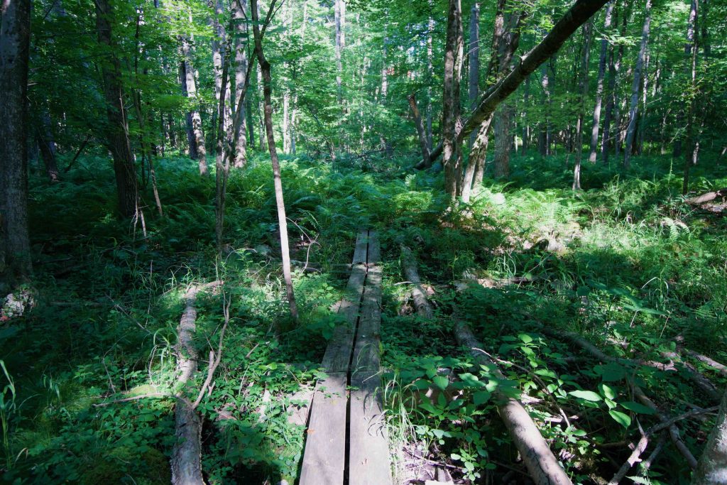
A kiosk, built by a local Eagle Scout, sits at the back of the small parking area.  The trail heads downhill on an eroded cart path but quickly splits off into the woods on its narrow tract between private properties.  At the bottom of the hill I entered a wetland area where the trail was lost in a sea of ferns.  I was able to spot blazes ahead and after hopping a couple fallen trees parting the ferns revealed a boardwalk underneath.  I lost the trail twice more heading out on the white trail as the blazes switched between the expected white and multicolored cloth tied to trees. The first mile took me about 40 minutes to navigate, about twice the time as a clear path.

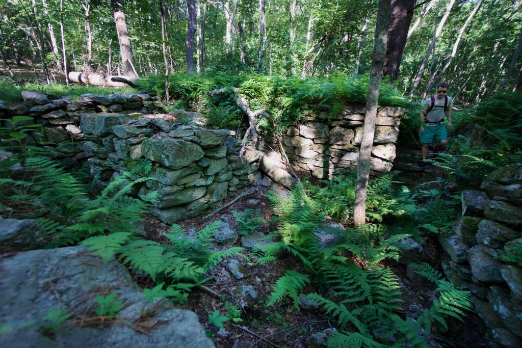
I headed out to the 1860s homestead foundation through second growth forest of red and white oak.  Sections of the trail are either former farm or logging roads.  The foundation is surprisingly intact, if a bit overgrown with ferns.  It is about five feet deep with a large square column in the center, what remains of the chimney.  There is also a shallow well with an upright rock jammed into it.  I spent awhile in the area first just exploring and then trying to find the yellow trail heading north.  I found no blazes so I picked a spot heading uphill and soon found myself on another old logging road.  Some sections were filled with long grass and others seemed to have been recut around wetland areas. 

I wasn’t able to find well marked on the trail map as there were a number of different path crossings and options.  I finally wound my way back to the white trail and noticed some yellow police style tape that may have been the “blaze” for the yellow trail.  I’d had more than my fill by that point and so headed back towards the parking on Breakneck Hill Rd.

This area may be easier and more enjoyable in the winter months, you would have to be pretty adventurous to enjoy it when everything is grown in.  Below is the GPS tracked hike I did, you can contrast the the route I ended up taking with the official map above:

History:

The 1892 Conservation Area has been owned by the town since… 1892, when it was acquired from George Blanchard.  The Sherman Forest was acquired by the land trust in 2002 from Shirley DeLuca, likely a family member of Rainsford Sherman.  A thorough history of the old house and town property can be read on the forest’s brochure.


Links:

The information shown here is for general reference purposes only. exploreCT.org gives no warranty, expressed or implied, as to the accuracy or reliability of this data. Parking in all areas, whether designated here or not, is at your own risk. exploreCT.org is not responsible for any damage or loss to vehicles or contents.
Last updated July 9th, 2018

Visited 2071 times, 1 Visits today

Related Listings

Coney Rock

★★★☆☆

41.794751, -72.202390

Coney Rock Preserve Joshua’s Trust Property and Town of Mansfield Park Location: 134 acres in Mansfield, CT Parking: Small pull-off near 501 Chaffeeville Rd Storrs, CT Shoulder… Read more…

Holcomb Farm

★★☆☆☆

113 Simsbury Road, West Granby, CT, USA

Holcomb Farm Trails Granby Town Farm and Granby Land Trust 300 acres in Granby, CT Parking: West Trails: Likely better access from 29 Broad Hill Road, West…

Ponsett Ridge Preserve

Unexplored

41.442809, -72.579236

Ponsett Ridge Preserve Haddam Land Trust Property 135 acres in Haddam, CT Parking: Shoulder parking near 107 McTigh Rd Higganum, CT Trail Map       Trails: 1.5 miles   …