Site logo
    • Explore
      • Blue-Blaze Trails
      • Land Trusts
      • State Parks and Forests
      • By Town
    • exploreCT+
      • Membership
      • Shop
      • Events
    • Blog
    • Town Guides
    Sign in or Register
    Listing cover image

    Shenipsit: Dark Hollow Section

    • Trails
      5 miles
    • Rating
      ★★★☆☆
    • Address
      MF9W+RG Glastonbury, CT, USA
    • Explore
    • Trail Map
    • Reviews 0
    • New Page
    • prev
    • next
    • Bookmark
    • Share
    • Get directions
    • Report
    • prev
    • next
    At A Glance

    Shenipsit : Dark Hollow Brook to Flat Brook Falls

    Blue Blaze Shenipsit Trail and Connecticut State Forest

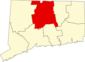
    in Glastonbury, CT

    Parking:

    • Dark Hollow: At the end the road near 453 Toll Gate Rd South Glastonbury, CT
    • Flat Brook Falls: Shoulder parking on Imperial Drive Glastonbury, CT

    Trail Map         Trails: 5 miles       Rating: ★★★☆☆

    This section of the Shenipsit Trail, north of Rt. 2 through a parcel of the Meshomasic State Forest is an interesting mix of old and new trail that passes the culverts under Rt.2, climbs a ridgeline, and has a short spur to Flat Brook Falls until reaching Diamond Lake Rd for a total of about five miles one way.

    Hiking

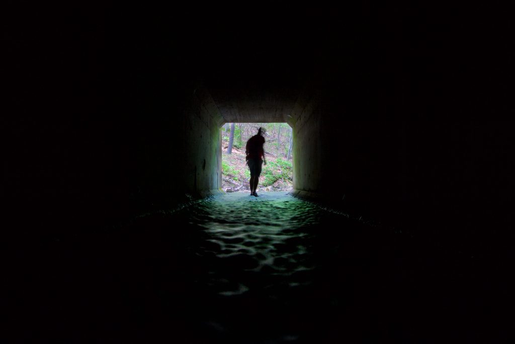
    Heading north from the parking at the end of Tollgate Rd the trail parallels Rt. passing the Glastonbury Gun Range and then a group of cement pillars before reaching the infamous culverts under Rt. 2.  Over the last ten years there have been a few attempts to move the Shenipsit under Rt. 2 through the culverts instead of the long road walk around.  The DOT shot down the plan for a small ledge to run along the side of the culverts that would allow hikers a more direct route.  I explored the culverts in 2016 and think the plan is entirely feasible.

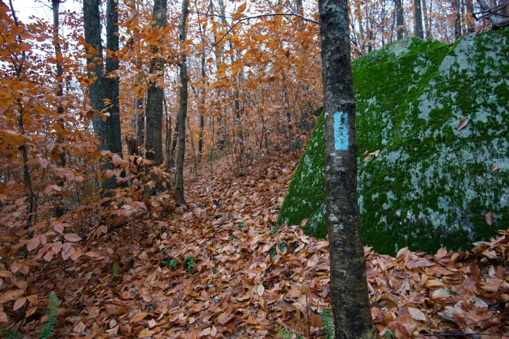
    From here the trail turns north and heads into the forest quickly gaining elevation on rocky scrambles to a tiny overlook.  The forest changes ecosystems a few times as you follow this series of hills.  There is another forested overlook atop a high ridge though the view isn’t much.  Soon after you reach the very short spur trail to Flat Brook Falls.  I visited the falls in 2018 after Fall rains to see the cascades that drop about 30ft.

    Another .6 miles up the trail reaches Imperial Drive, a designated CFPA parking area for the trail.  There is a tall curb to get to the parking area so it is better suited SUVs and pickups.  The next stretch passes a seemingly man-made earthen dam and pond until Diamond Lake Rd. Where a very brief road walk with an overgrown entrance takes you through a largely forgotten section next to a pond in the Grayledge Open Space.

    Shenipsit Trail

    • Heading north: 0.3 mile road walk on Birch Mtn Rd to Garnet Ledge
    • Heading south: Dickinson Rd
    Links

    Peter Marteka – Exploring Meshomasic State Forest’s Dark Hollow Brook Will Bring Out Your Inner Child (2013)

    New England Waterfalls – Flat Brook Falls

    Auntie Beak – Shenipsit Trail & Dark Hollow Brook (2017)

    CTMQ – Shenipsit Section 2 (2010)

    Tags
    • ★★★☆☆
    • 2016
    • 2018
    • 2023
    • Explored
    • Glastonbury
    • Hartford County
    • Meshomasic State Forest
    • Peter Marteka
    • Shenipsit Trail
    • Waterfalls
    Last Updated

    Last updated June 11th, 2023 The information shown here is for general reference purposes only. exploreCT.org gives no warranty, expressed or implied, as to the accuracy or reliability of this data. Parking in all areas, whether designated here or not, is at your own risk. exploreCT.org is not responsible for any damage or loss to vehicles or contents.

    Trail Map
    Location
    • MF9W+RG Glastonbury, CT, USA

      Get Directions
    Gallery
    Categories
    • Hiking
    Gallery
  • No comments yet.
  • Add a review

    Leave a Reply · Cancel reply

    You must be logged in to post a comment.

    You May Also Be Interested In

    Spruce Brook Falls

    • ★★★★★
    • 16 miles
    Featured
    FW6F+CW Beacon Falls
    • Quick view
    • Bookmark

    Sparkle Lake Conservation Area

    • Unexplored
    • 0.5 miles
    155 Thomas Rd
    • Quick view
    • Bookmark

    Amos Lake Boat Launch

    • Unexplored
    176 CT-164
    • Quick view
    • Bookmark

    Hi, I’m Matt.

    I’m building ExploreCT to be the guide for all your outdoor adventures. All the trails, views, and waterways this great state has to offer.

    Now get out and explore!

    Monthly Newsletter

    Each month I share site updates or an interesting article in my newsletter. It’s short, sweet, and practical.

    600+ explorers read it, I’d love for you to join.

    Thank you!

    You have successfully joined our subscriber list.

    X-twitter Youtube Envelope Instagram

    Cart

      • Facebook
      • X
      • WhatsApp
      • Telegram
      • LinkedIn
      • Tumblr
      • Reddit
      • VKontakte
      • Mail
      • Copy link
      • Share via...
      • Threads
      • Bluesky