Photos

Description

Riverfront Park

Glastonbury Town Park

86 acres in Glastonbury, CT

Parking: Lots of parking lots around 398 Welles Street, Glastonbury, CT

Trail Map       Trails: 1 mile      Rating: ★★☆☆☆


I first passed Glastonbury’s Riverfront Park as I paddled down the Connecticut River in 2019.  It sits in the winding bends of the river south of Hartford and the imposing Boathouse is one of the few signs of development in this isolated stretch.

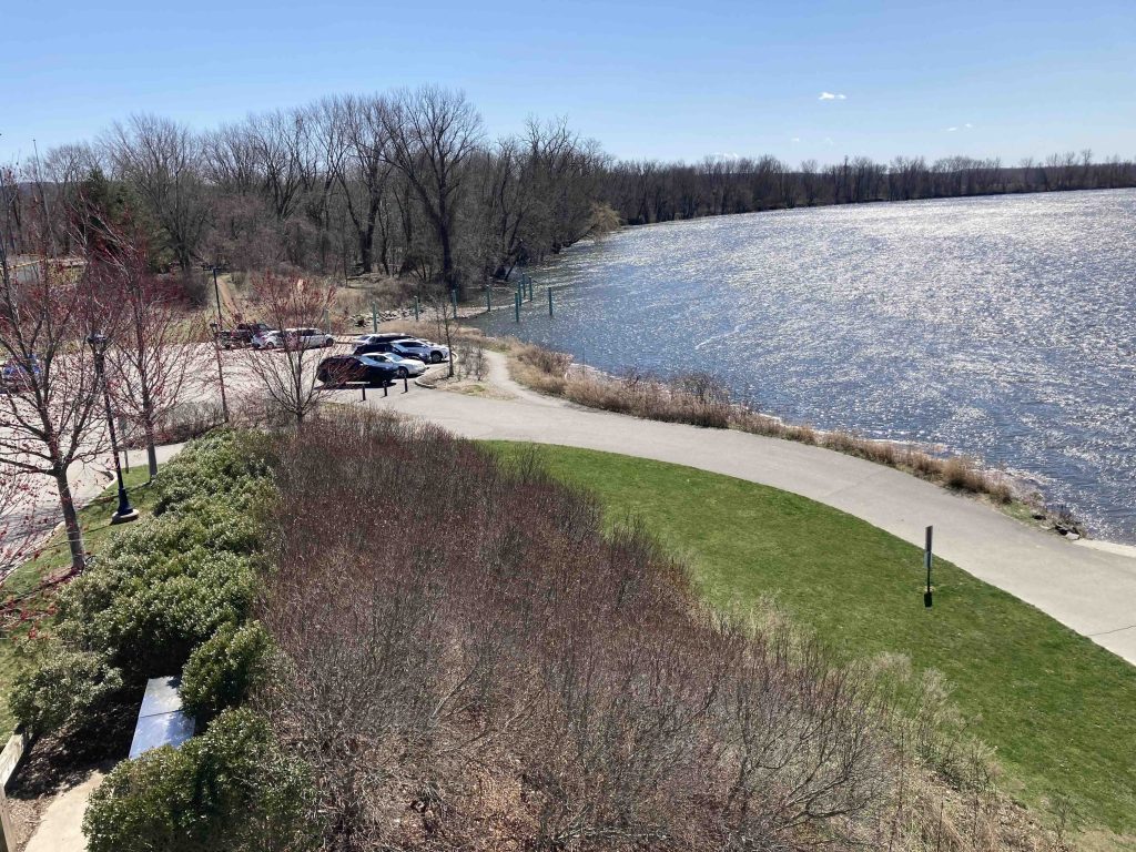
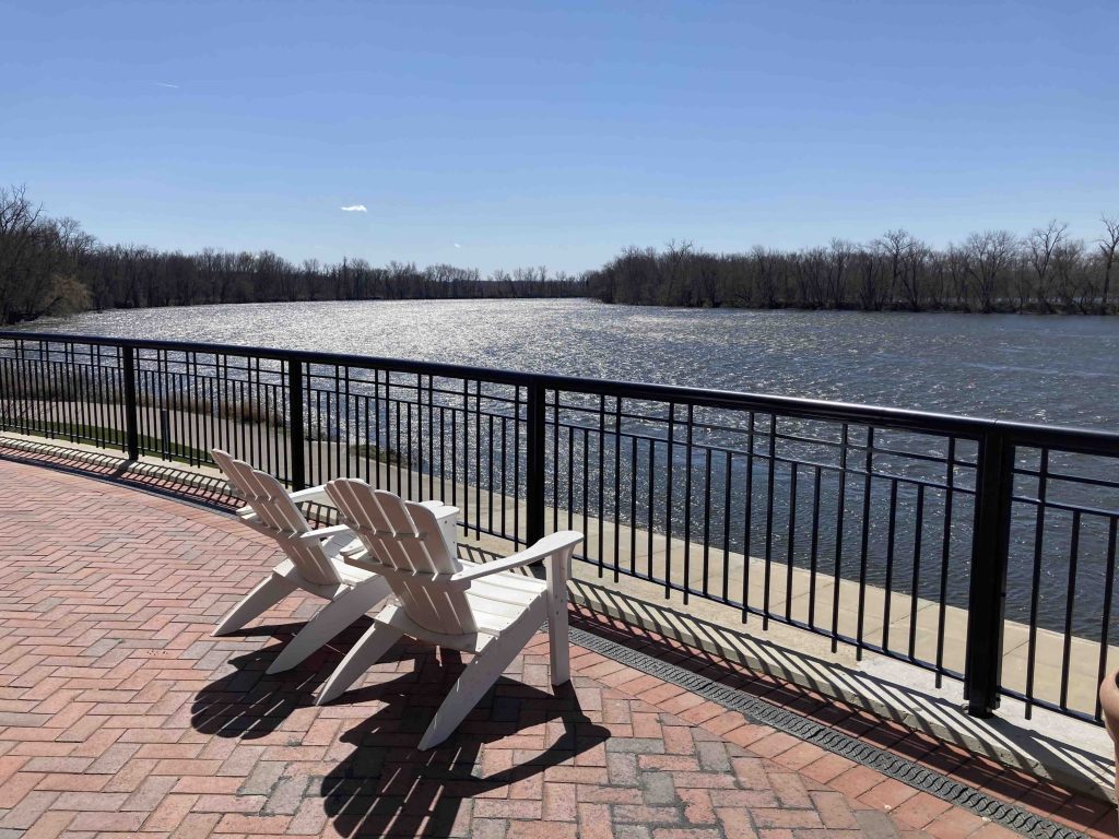
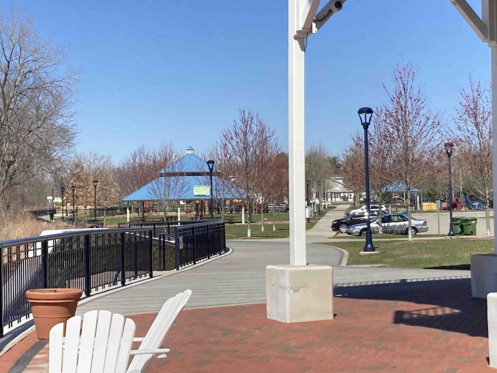
The Boathouse is a great spot to sit and enjoy views of the river with wide stone steps along the water and two elevated platforms with Adirondack chairs for relaxing.  Several pavilions dot the park between various ball fields.

Hiking

I visited the park a few days post-paddle to find its boat launch teeming during the busy Labor Day weekend and the trails full of people out for a stroll.  The trails here are flat crushed stone paths or sidewalks in the area.  They are perfect for simple walks.  The planners have come up with easy loops of varying distances.  My favorite (in name at least) being the “Silver Sneakers” loop around the Historical Society and Hubbard Green.  Certainly not a true hiking destination, but can be a nice spot to stroll after getting coffee at Daybreak Coffee Roasters or before dinner with several easy connections to Main Street.

Boating

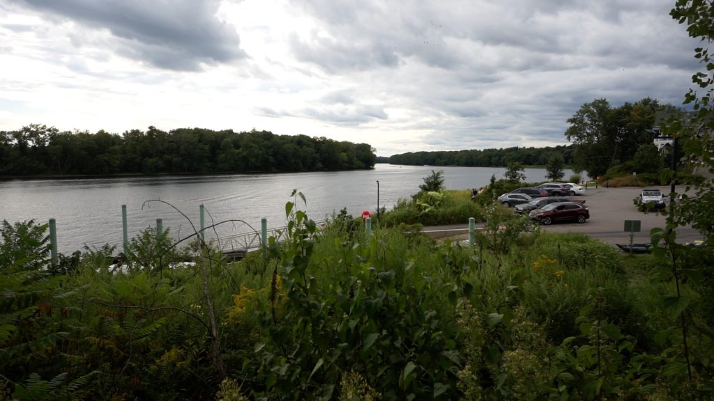
There is room for at least 24 boat trailers in the parking area and there are fees for launching in season, see this page for details.

South of Hartford the Connecticut River is tidal.  This section is likely the least developed stretch of the entire river.  Just over a mile upstream is the Rt. 3 William Putnam Memorial Bridge and from there it’s a couple miles of wooded banks before you see real buildings and docks again, though you’ll likely hear planes from Brainard Airport often.

Heading downstream the river enters its ‘wandering meanders’ for about 5 miles until the historic Rocky Hill-Glastonbury Ferry.  The river feels remote often with thick woods and brief glimpses of surrounding farmland and fields.  The nearest river camping is about 6.5 miles away at River Highlands State Park.

History:

Riverfront Park is Glastonbury’s newest town parked. It opened in 2014.


Links:

Peter Marteka – Glastonbury Riverfront Park: A Photo Gallery (2014)

Peter Marteka – Repairs And Renovations To The Glastonbury Riverfront Park Completed (2017)

The information shown here is for general reference purposes only. exploreCT.org gives no warranty, expressed or implied, as to the accuracy or reliability of this data. Parking in all areas, whether designated here or not, is at your own risk. exploreCT.org is not responsible for any damage or loss to vehicles or contents.
Last updated April 2nd, 2023

Visited 744 times, 2 Visits today

Related Listings

Selleck’s Woods / Dunlap Woods

Unexplored

3 Parklands Dr, Darien, CT, USA

Selleck’s Woods / Dunlap Woods Darien Town Park / Darien Land Trust 50 acres in Darien, CT Parking: Small lot near 3 Parklands Dr, Darien, CT Trail…

Raymond Brook Preserve

★★☆☆☆

168 Church St, Hebron, CT 06248, USA

Raymond Brook Preserve Hebron Town Park 107 acres in Hebron, CT Parking: Small lot near 168 Church St, Hebron, CT Medium sized lot near 52 Kinney Rd,…

Patriots Park Woods

★☆☆☆☆

41.762017, -72.307028

Patriots Park Woods Coventry Town Park About 65 acres in Coventry, CT Parking: Large lot at the boat launch 357 Shore Dr, Coventry, CT Trail Map      …