Linda J. Rapoport Memorial Preserve
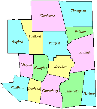
154 acres in Woodstock, CT
Parking: Two options
- Shoulder parking near 287 Pulpit Rock Rd, Woodstock, CT
- Shoulder parking near 130 Calkins Rd, Woodstock, CT
Trail Map Trails: 1.5 miles Rating: ★☆☆☆☆
Located right next to (and donated by the owner of) Woodstock Sustainable Farms, this property has two short hiking trails. One a dirt section of Calkins Rd and the other a short loop trail off Pulpit Rock Rd.
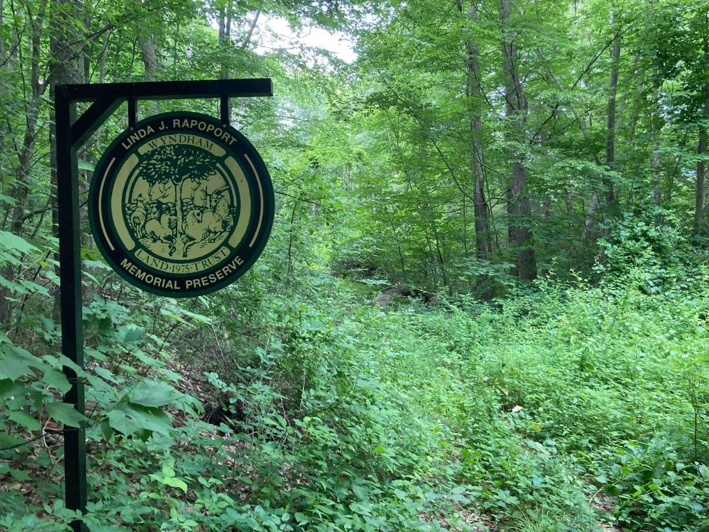
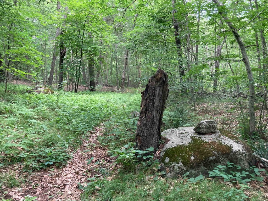
I hiked the lollipop loop off Pulpit Rock Rd after pulling my car to the washed out shoulder of the gravel road. The trailhead has a gorgeous sign announcing the property. Much of the trail is overgrown old farm roads with persistent bittersweet and poison ivy. You can catch glimpses of the marshy area off to the left and some of the more open sections of trail were downright pleasant.
I followed the right fork at the start of the loop working my around the hill. The trail had been blazed yellow but it’s pretty faded now though it did come in handy on the backside of the loop with a four way crossing of the old farm roads. Taking the left to climb up the hill I turned left again at a No Trespassing sign to complete the loop and make my way back to the road.
I decided to skip the Calkins Road section which appeared to be a bit clearer but more of the same. I’d suggest a late Fall/early winter hike if you visit this property (and Steve from CTMQ seems to agree too in his Fall 2022 write up).
History:
From the Wyndham Land Trust site,
“Donated: 43.3 acres (2008) 12.2 acres (2010) 49.3 acres (2011) 49.5 acres (2012) by Ken Rapoport”
Links:
CTMQ – WLT: Linda J. Rapoport Memorial Preserve (2022)
The information shown here is for general reference purposes only. exploreCT.org gives no warranty, expressed or implied, as to the accuracy or reliability of this data. Parking in all areas, whether designated here or not, is at your own risk. exploreCT.org is not responsible for any damage or loss to vehicles or contents.
Last updated June 24th, 2022
Visited 1595 times, 2 Visits today