Photos

Description

Quandoc Conservation Area

Killingly Town Park

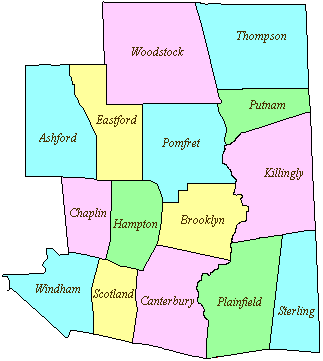
125 acres in Killingly, CT

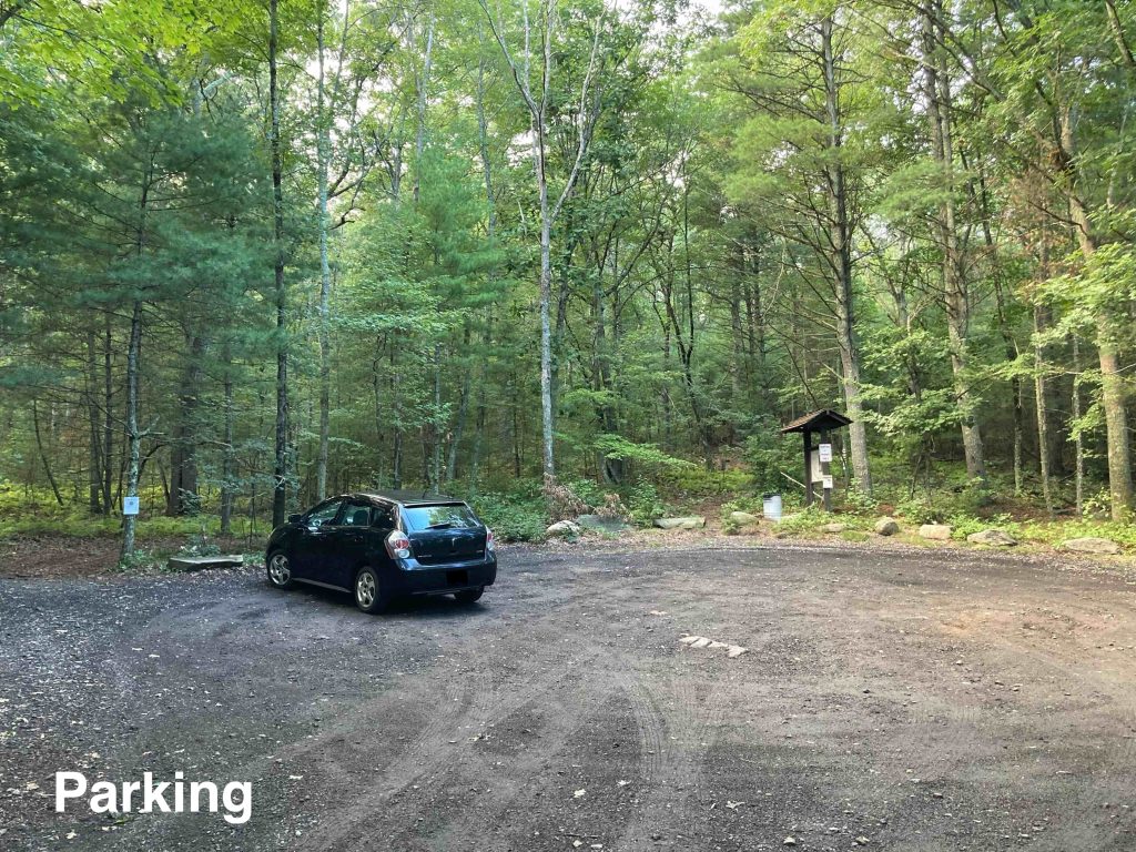
Parking: Medium sized lot near 246 Brickhouse Rd, Danielson, CT

Trail Map        Trails: 2.5 miles       Rating: ★★★☆☆


The trails here started as the yellow blazed loop and expanded in Summer 2021 to include the new Orange Trail and again in late 2022 to include the blue trail. There appear to be a couple other unblazed trails particularly near the lower end of the yellow loop which can make navigating those parts a bit confusing.

Hiking

I started off on the yellow trail to the left of the trailhead kiosk, but switched to the new orange trail at its crossing point just over small feeder stream for Quandoc Brook.  The orange trail then follows this stream for a bit before turning uphill.  While beautiful I’d imagine some would find the footing tricky crossing and recrossing the brook here and it likely can be pretty buggy in spring. I was amazed at the stonewalls crossing even this area.

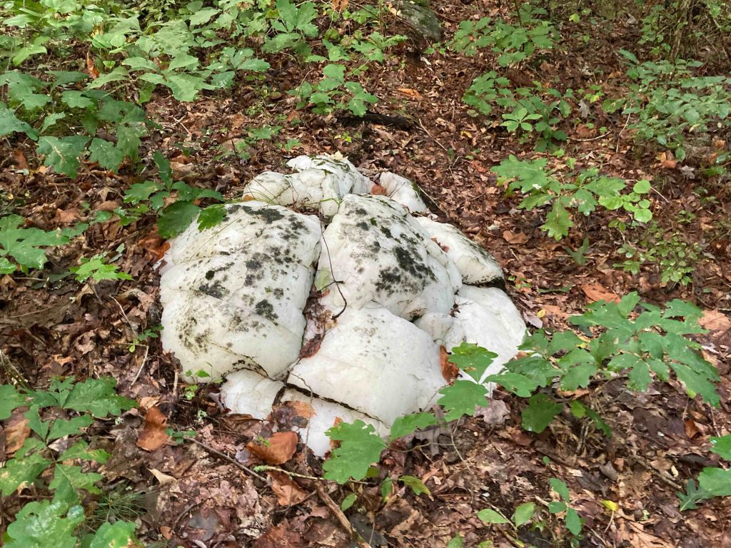
Leaving the stream heads uphill into pine forest and passes a standout quartz boulder which looks like a pile of snow alongside the trail.  The trail also very briefly joins an old carriage road buttressed by rocks on the low side, I wonder what it connected or if it was just an old farm road.

After nearly summiting whatever hill you’ve been climbing the trail descends the otherside to a boggy area lush and resplendent with ferns. I unfortunately missed the ‘Heart Tree’ indicated on the map despite trying to keep a careful eye.

The rest of the orange trail meanders over a series of hills before working back to join the backside of the yellow loop.  I intended to take the outer portion to catch a glimpse of the pond/marsh area but somehow ended up on the inner side of the loop.  The trail descends through rocky terrain and I scared off a number of deer.  Shortly after a nearby bobcat scream nearly scared me off.

The lower end of the yellow trail comes out on a gravel road and confused me for a bit which direction I should take to get back to the parking.  It was nearly sunset so blazes were harder to make out and there appear to be a couple unblazed trails coming off area but thankfully I was able to follow the gravel road back to the parking area.

History:

The town purchased the property in the 1960s.


Links:

Trails & Walks in Rhode Island – Quandoc Conservation Area – Killingly (2020)

The information shown here is for general reference purposes only. exploreCT.org gives no warranty, expressed or implied, as to the accuracy or reliability of this data. Parking in all areas, whether designated here or not, is at your own risk. exploreCT.org is not responsible for any damage or loss to vehicles or contents.
Last updated September 12th, 2022

Visited 834 times, 2 Visits today

Related Listings

Dunhamtown Forest

★★★☆☆

41.786132, -72.256188

Dunhamtown Forest Mansfield Town Park 226 acres in Mansfield, CT Parking: Small lot near 109 Dunham Pond Rd Mansfield, CT Aerial Trail Map           …

Nichols Field

★★☆☆☆

178 Falls Rd, Moodus, CT, USA

Nichols Field East Haddam Town Park 120 acres in East Haddam, CT Parking: Large lot near 178 Falls Rd, Moodus, CT Trail Map         Trails:…

Shugrue Reserve

★★☆☆☆

41.518033, -72.341373

Shugrue Farm Reserve East Haddam Town Park 225 acres in East Haddam, CT Parking: Shoulder parking near 22 Town Rd, Colchester, CT Trail Map       Trails:…