Site logo
    • Explore
      • Blue-Blaze Trails
      • Land Trusts
      • State Parks and Forests
      • By Town
    • exploreCT+
      • Membership
      • Shop
      • Events
    • Blog
    • Town Guides
    Sign in or Register
    Listing cover image

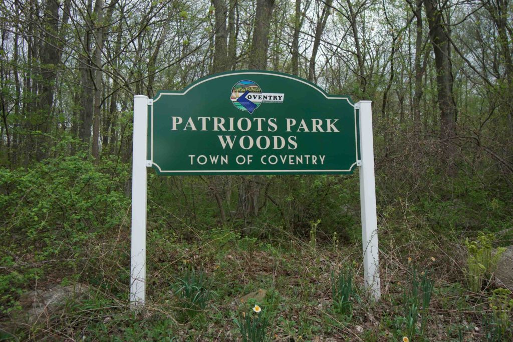
    Patriots Park Woods

    • Trails
      1 miles
    • Rating
      ★☆☆☆☆
    • Address
      QM6V+R5 Coventry, CT, USA
    • Explore
    • Trail Map
    • Reviews 0
    • New Page
    • prev
    • next
    • Bookmark
    • Share
    • Get directions
    • Report
    • prev
    • next
    At A Glance

    Coventry Town Park

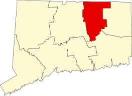
    About 65 acres in Coventry, CT

    Parking: Large lot at the boat launch 357 Shore Dr, Coventry, CT

    Trail Map            Trails: 0.8 miles       Rating: ★☆☆☆☆

    Hiking

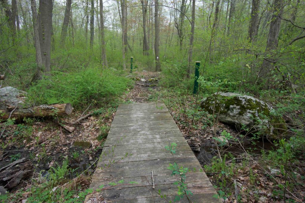
    2019 Update: A Girl Scout completing her gold award has built three new boardwalks and three benches to improve the property.  I haven’t been back to see how much improves the trail myself, but it’s nice to know this park isn’t completely forgotten.

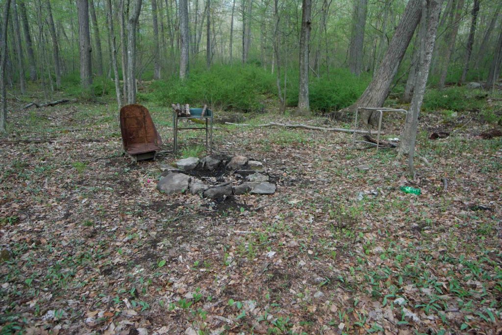
    The trail at Patriots Park must be a forgotten trail in Coventry for the amount of neglect I saw on a recent hike (4/2018).  The trail is 0.8 miles from entrance to exit.  The trail brochure recommends a May-November visit for “water-related concerns” which I can echo because the trail seems to be the only wet areas on the property and dry summer months may improve the experience. 

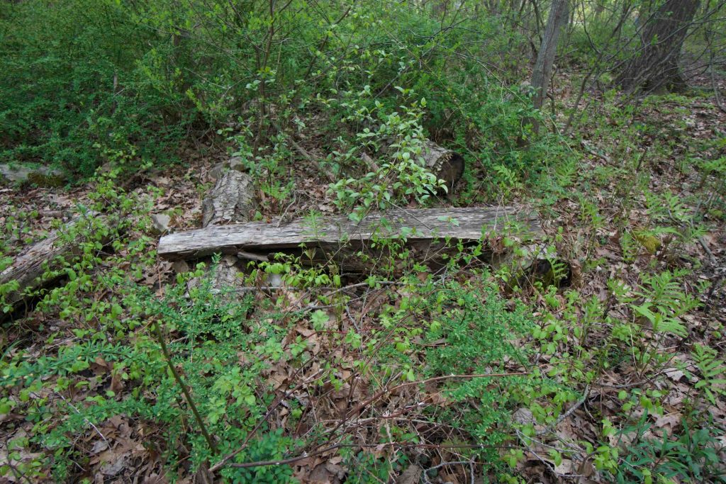
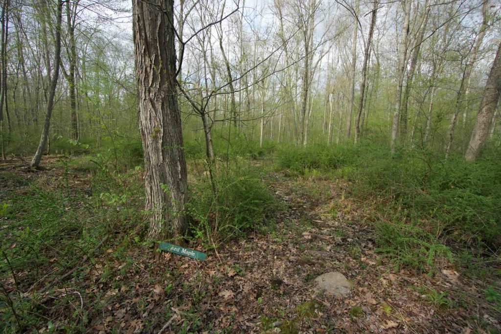
    There are a number of unkept corduroy roads that likely worked well when they were placed, but have sunk too deep to do their job.  There were also a number of informational signposts that have since lost their information.  The ones that remain have a cheery squirrel that reminds you not to smoke. 

    The property was formerly a woodlot and some features are still visible.  A signpost hints that the forest is actively managed, but given the state of the property, this seems unlikely.

    There is a nice seasonal stream that runs toward Coventry Lake, but this property doesn’t have much going for it currently.

    History

    The property was purchased by the town in 1979 with the help of an America the Beautiful Grant.

    Tags
    • ★☆☆☆☆
    • 2018
    • Coventry
    • Explored
    • Tolland County
    Last Updated

    The information shown here is for general reference purposes only. exploreCT.org gives no warranty, expressed or implied, as to the accuracy or reliability of this data. Parking in all areas, whether designated here or not, is at your own risk. exploreCT.org is not responsible for any damage or loss to vehicles or contents. Last updated May 7th, 2018

    Trail Map
    Location
    • QM6V+R5 Coventry, CT, USA

      Get Directions
    Gallery
    Categories
    • Hiking
    Gallery
  • No comments yet.
  • Add a review

    Leave a Reply · Cancel reply

    Your email address will not be published. Required fields are marked *

    Overall Rating

    You May Also Be Interested In

    Spruce Brook Falls

    • ★★★★★
    • 16 miles
    Featured
    FW6F+CW Beacon Falls
    • Quick view
    • Bookmark

    Thach Preserve

    • ★★☆☆☆
    • 1 miles
    123 Brush Hill Rd
    • Quick view
    • Bookmark

    Mendell's Folly

    • ★★★★☆
    • 3.8 miles
    390 Beacon Rd
    • Quick view
    • Bookmark

    Hi, I’m Matt.

    I’m building ExploreCT to be the guide for all your outdoor adventures. All the trails, views, and waterways this great state has to offer.

    Now get out and explore!

    Monthly Newsletter

    Each month I share site updates or an interesting article in my newsletter. It’s short, sweet, and practical.

    600+ explorers read it, I’d love for you to join.

    Thank you!

    You have successfully joined our subscriber list.

    X-twitter Youtube Envelope Instagram

    Cart

      • Facebook
      • X
      • WhatsApp
      • Telegram
      • LinkedIn
      • Tumblr
      • Reddit
      • VKontakte
      • Mail
      • Copy link
      • Share via...
      • Threads
      • Bluesky