Parciak Conservation Area

Tolland Conservation Area

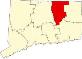
60 acres in Tolland, CT

Parking: Shoulder parking near 207 Bald Hill Rd, Tolland, CT

Trail Map           Trails: 2.8 miles        Rating: ★★☆☆☆


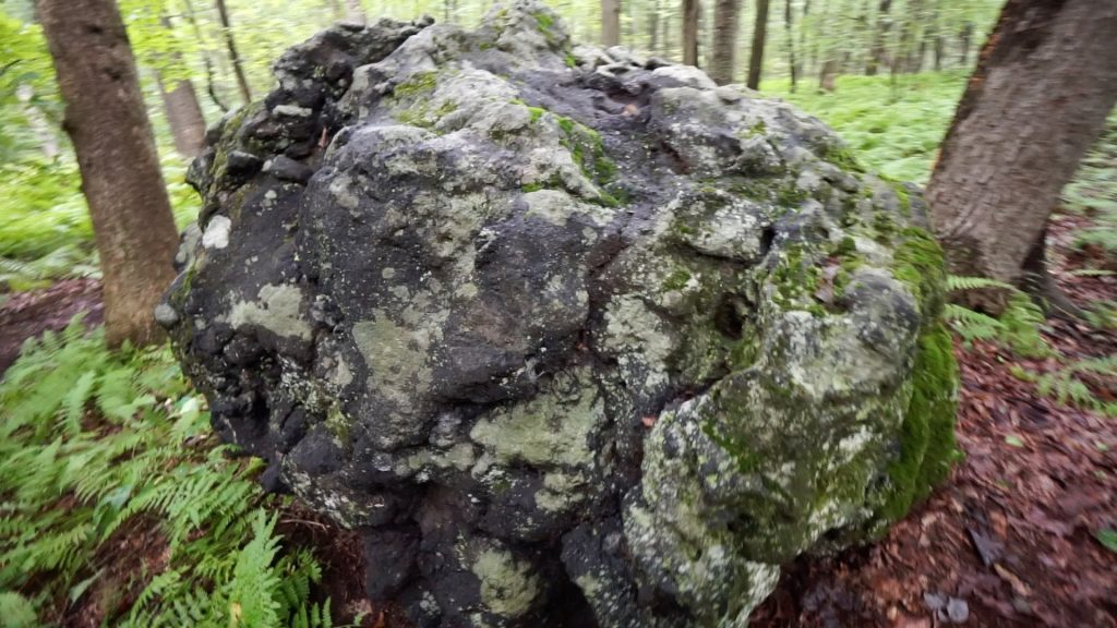
  I started my hike at the parking along Bald Hill Rd a dirt road with a wide pull off. I headed down the yellow trail with the goal of reaching the meteor.  The trail is wide and maintains flat or easy sloping downhill.  There were a wide array of fungi of all shapes and colors.  In a huge sea of ferns sits the knobby rock known as the “meteor”.   Dark and pocked, it certainly seems like it could be from outer space, but a signpost clears up any confusion that is really just common amphibolite.

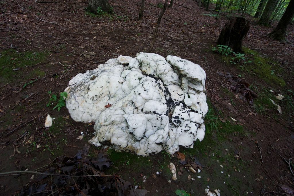
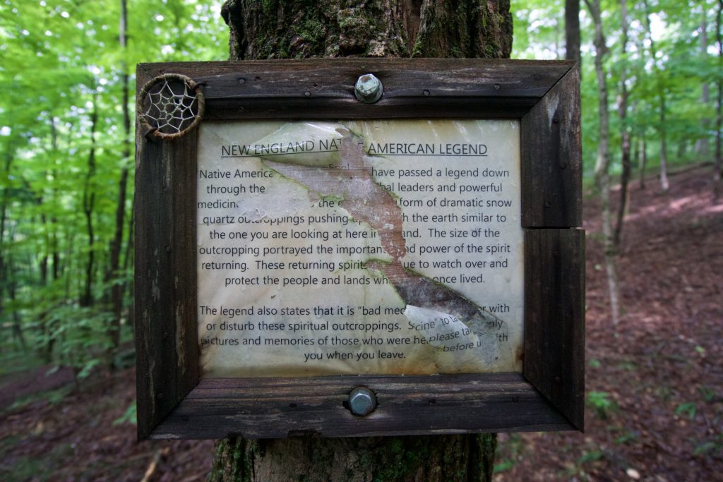
I didn’t head all the way down to the parking at Burbank Rd, instead, uphill towards the blue Ridge trail.  The first section of the yellow trail here has been eroded and a new trail has been cut but not blazed circumventing it.  While logs partially block the lower portion, yellow tape signals to avoid the section at the top.  I was clueless and hiked right up it.  Taking the blue trail led to a spur trail to a brilliant white quartz boulder spur.  The boulder stands out like a beacon among the green leaves and dark trees.  There were plenty of quartz bits around the boulder and I was tempted to pocket a fine arrowhead shaped one.  A small sign next to the boulder gave an overview of the Native American beliefs around these rocks and that it was “bad medicine” to disturb them, so I took only pictures and left only footsteps.

Shortly after the spur trail, I reached the top of the ridge.  From the town’s site,

“The highest point in Tolland, Bald Hill, is on this property at an elevation of 1,011 feet above sea level. The land is level in the northern section but then sharply drops 100 feet in elevation. There is an excellent view to the south from the ridge top, especially in winter. A bench is located there so that hikers may sit and enjoy the view.”

There wasn’t any view at all with the thick foliage.  I could tell that there should be one, but I would amend the above description to say “…only in winter.”  The map doesn’t show it, but there is a small additional loop past the bench that connects back to the blue trail closer to Bald Hill Rd.

History:

Established as a conservation area in 2002.


Links:

Peter Marteka – Snow Quartz, Meteor Rock And Tolland’s Highest Point (2010)

The information shown here is for general reference purposes only. exploreCT.org gives no warranty, expressed or implied, as to the accuracy or reliability of this data. Parking in all areas, whether designated here or not, is at your own risk. exploreCT.org is not responsible for any damage or loss to vehicles or contents.
Last updated August 12th, 2018

Video

Visited 2104 times, 2 Visits today

Related Listings

Sawmill Brook Preserve

★★☆☆☆

41.751402, -72.210572

Sawmill Brook Preserve Mansfield Town Park 80 acres in Mansfield, CT Parking: Small pull-off near 139 Puddin Ln Mansfield Center, CT Trail Map            …

Manship Park

★☆☆☆☆

50 Lovell Ln, Canterbury, CT

Robert Manship Park Canterbury Town Park 8 acres in Canterbury, CT Parking: Small lots near 50 Lovell Ln, Canterbury, CT Trail Map      Trails: 0.3 miles …

Knofla Conservation Area

★★☆☆☆

41.90484,-72.38196

Knofla Conservation Area Tolland Conservation Area 138.1 acres in Tolland, CT Parking: Small lot at 148 Bakos Road Tolland, CT Trail Map            Trails:…