Photos

Description

North Grosvenordale River Walk

Thompson Town Park

in Thompson, CT

Parking: Small lots near the start of Main St North Grosvenor Dale, CT

Trail Map        Trails: 1.6 miles       Rating: ★★☆☆☆


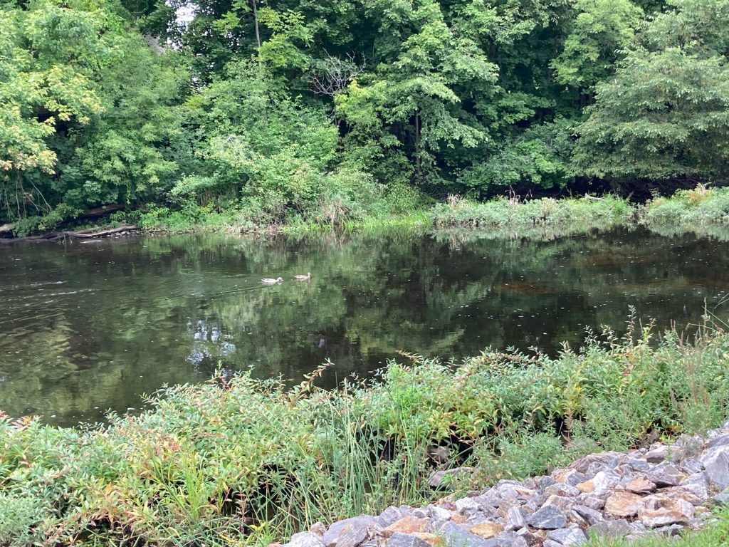
I’m not usually a fan of this kind of urban hike.  The views along the French River are great and even the old mills have their own sort of charm but despite clean park, gazebo, and road work being done the area felt a bit run down.

Hiking

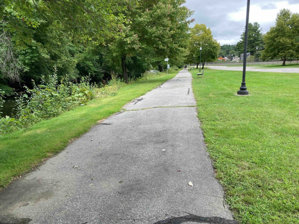
From its start at Riverside Park the North Grosvenordale River Walk is an easy paved path that soon switches to crushed gravel before crossing a pedestrian bridge over the river.  From there it follows Walker Street and crosses to to River Street for views of old mill buildings and more river views.

The trail then briefly climbs along Bulkley Hill Road and then off again into the trees on a narrow spit of land until reaching the falls at the south end of North Grosvenordale Pond and parking behind a sports bar.

History:


Links:

The information shown here is for general reference purposes only. exploreCT.org gives no warranty, expressed or implied, as to the accuracy or reliability of this data. Parking in all areas, whether designated here or not, is at your own risk. exploreCT.org is not responsible for any damage or loss to vehicles or contents.
Last updated September 13th, 2022

Visited 1613 times, 3 Visits today

Related Listings

Dart Hill Park

★★☆☆☆

680 Dart Hill Rd, Vernon, CT 06066, USA

Dart Hill Park / Pleasantview Marsh Trail Vernon Town Park and Hockanum River Trail 16 acres in Vernon, CT Parking: North End: Two medium lots near 680…

Crystal Peat Conservation Area

★★☆☆☆

41.913372,-72.356865

Crystal Peat Conservation Area Tolland Town Park 30.5 acres in Tolland, CT Parking: Small pull-off near 167 Cook Rd Tolland, CT Trail Map.      Trails: 1 mile…

Sabine Reserve

★★☆☆☆

127 Daniel Peck Rd, East Haddam, CT 06423, USA

Sabine Reserve East Haddam Town Park 70.16 acres in East Haddam, CT Parking: Cul-de-sac near 127 Daniel Peck Rd, East Haddam, CT Trail Map       …