Nipmuck State Forest – South Parcel
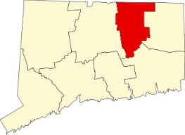
900+ acres in Willington and Stafford, CT
Parking: Shoulder parking near 57 Polster Road, Willington, CT
Trail Map Trails: 7 miles Rating: ★★☆☆☆
This entry is not for the main blocks adjacent to Bigelow Hollow State Park.
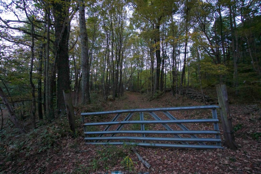
This is for the Murray and Bradley Trails within the southernmost section of the Nipmuck State Forest. I headed up to Willington in early fall and decided to add in a hike after my errands. I saw that Google Maps had a trail off Polster Rd in Willington. I quickly figured out it was a section of the Nipmuck State Forest, but searching for Murray and Bradley turned up nothing. I pulled up to an unassuming metal gate on the side of the road about an hour and a half before sunset expecting 2-3 miles of out-and-back trail shown on Google Maps.
4:50PM Pass the gate heading uphill between old stone walls, the trail is wide and pretty clear
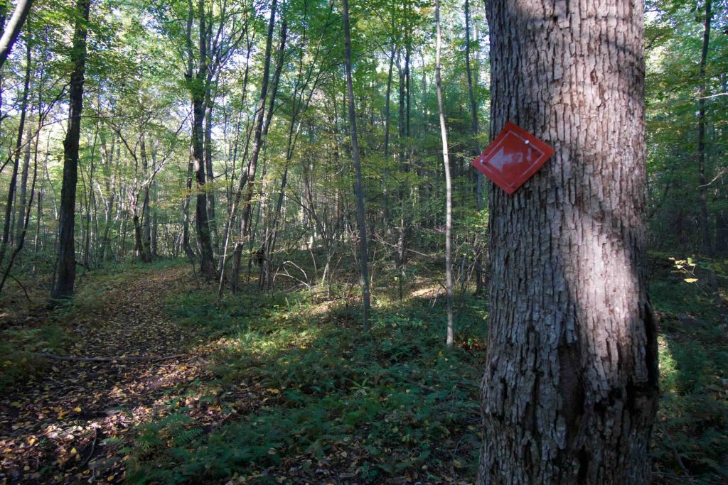
5:01PM The trail unexpectedly splits and a weathered orange arrow points right off the expected trail. I follow it, but pick up the pace.
5:20PM Over a mile and a half in, the trail seems to be made more for points A to B than to see interesting features, rock ledges are a couple hundred feet to the side. I scare off a pair of white-tail.
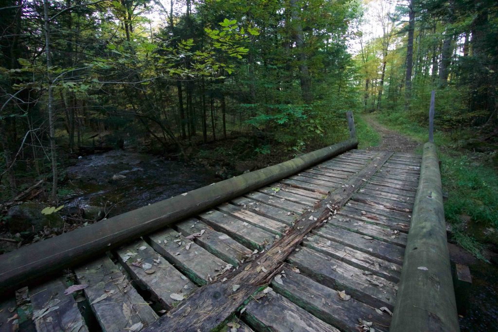
5:33PM I’ve jogged about another mile, reconnecting to the Bradley trail crossing old wooden bridges over streams and I reach Michalec Rd. A sign shows that this is actually a snowmobile trail for the Nipmuck Trail Rider’s Club which explains the style of trail. I head back into the woods to reconnect with a spur of the Bradley Trail.
5:57PM I continued to follow the orange arrows and got close to the expected spur trail, but am now about 4 miles out. A quick check of my GPS location shows that I am likely just outside state property. This is shortly confirmed by a guy in full camo with a hunting rifle standing on the trail. Thankfully, the trail finally cuts back in the right direction, but I’m not sure how far it is back to the car.
6:15PM I jogged two more miles down into the valley for Stoughton Brook and back up the other side. The trail has been a bit of a blur, but I’m nearing the Murray trail. I actually see boot and dog prints in this section, which I realize has been missing from the rest of the trail. I find out later that on the old topo maps from 1972 this area is called “Jimmy Ledges”.
6:18PM I check my GPS location and see that I’m on the Murray trail and I guess it’s about a mile back to the car so I slow to a walk and watch the sunset filter through the trees. I scare off another pair of white-tail.
6:34PM I make it back to the car a few minutes after sunset. The 2-3 mile hike turned into a 7 mile trail run that crossed interesting terrain, uncertain trails, and gushing waterways.
Armed with the distance and that it is, in fact, a loop this would be a great place to take a mountain bike or for a longer trail run. Sunset time crunch aside, I really enjoyed this hike and is exactly the kind of unexpected exploration I thrive on.
History:
Links:
Links:
The information shown here is for general reference purposes only. exploreCT.org gives no warranty, expressed or implied, as to the accuracy or reliability of this data. Parking in all areas, whether designated here or not, is at your own risk. exploreCT.org is not responsible for any damage or loss to vehicles or contents.
Last updated Oct. 8, 2018
Visited 2408 times, 2 Visits today