Natchaug Trail – Lyon Rd

Connecticut Blue Blaze Trail

in Eastford, CT

Parking: Shoulder parking across from the cemetery at Lyon Rd (41.8716650, -72.0878170)

Trail Map            Trails: 8 miles         Rating: ★★★☆☆


This section is long and remote due to the lack of road access and is great for long hikes by car pointing.  This covers all the way from the northern terminus 8 miles to south of Lyon Rd in the Natchaug Forest Main Block.

Heading South

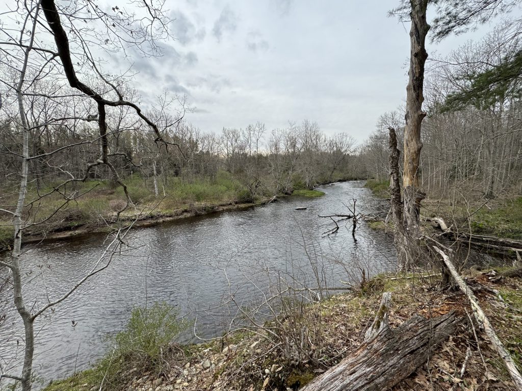
From this spot the heading south on the Natchaug Trail crosses the bridge and over the guardrail down some nicely built steps (in 2024) right into the Natchaug State Forest.  The trail follows the banks of the Still River among pines and waterviews.  It then turns away from the water before the Still meets with Bigelow Brook to form the Natchaug River.  The woods here are heavy, rocky, and rolling.  Aside from a brief old woods road most of this hike feels remote until reaching Nathanial Lyon State Park after about two miles.

Heading North

To head north on the Natchaug Trail requires walking south on Rt 198 for about a quarter-mile before jumping the guardrail and steeply descending to Stones Brook.  This stretch crisscrosses the lowlands until the Rt. 44 road crossing.

After crossing Rt. 44 the trail passes through a particularly beautiful section along Bigelow Brook that follows the water for miles until crossing Ashford Rd.  From there the trail winds through forest and along private property for another few miles until reaching its northern terminus where is joins the Nipmuck Trail.  This section is long and remote due to the lack of road access and is fantastic hiking perfect for car pointing.

History:


Links:

The information shown here is for general reference purposes only. exploreCT.org gives no warranty, expressed or implied, as to the accuracy or reliability of this data. Parking in all areas, whether designated here or not, is at your own risk.exploreCT.org is not responsible for any damage or loss to vehicles or contents.
Last updated March 5th, 2017

Visited 3971 times, 2 Visits today

Related Listings

Wangunk Meadows WMA

Unexplored

1346 Tryon St, South Glastonbury, CT

Wangunk Meadows Wildlife Management Area Connecticut Wildlife Management Area 637 acres in Portland, CT Parking: Small lot near 1346 Tryon St, South Glastonbury, CT Property Map   …

Pease Brook WMA

★☆☆☆☆

103-213 Horiska Rd, Lebanon, CT, USA

Pease Brook Wildlife Management Area Connecticut WMA 213 acres in Lebanon, Franklin, and Bozrah, CT Parking: Medium sized lot near 103-213 Horiska Rd, Lebanon, CT Hunting Map … Read more…

Bishop Swamp

★★☆☆☆

41.722671, -72.396840

Bishop Swamp Connecticut Wildlife Management Area 752 acres in Andover and Hebron, CT Parking: Small lot near 236 State Hwy 603, Andover, CT for hiking and small pull off… Read more…