Photos

Description

Mohegan State Forest

Connecticut State Forest

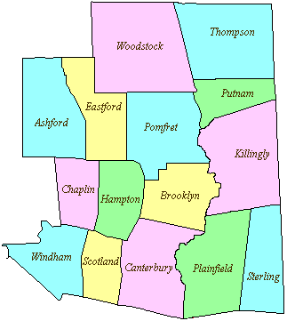
956 acres in Scotland, CT

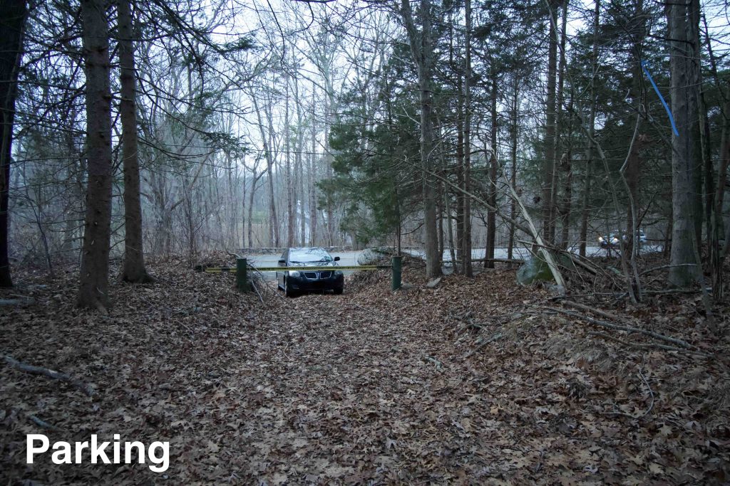
Parking: Room for car or shoulder parking north of 489 Devotion Rd Scotland, CT

Hunting Map            Trails: 3 miles            Rating: ★☆☆☆☆


Here’s the standard information that you’ll find some version copied and pasted on nearly every online source for the Mohegan State Forest:

Mohegan State Forest consists of over 700 acres in two parcels. The largest parcel is located in Scotland with smaller pieces in Sprague. The first 300 acres of the forest was donated to the State in 1960 for the purpose of demonstrating good forest management. When the property was in private hands, timber harvesting and management had occurred, and management has continued under State ownership. The main access road is constructed of gravel. It was renovated in 1988 to provide improved access for commercial timber harvesting, homeowners with permits for gathering firewood and recreational hunting and hiking. Mohegan State Forest is not developed for recreation but is still a beautiful woodland. Pheasant are sometimes stocked and hunting is permitted. There are two trails for hiking.

Letterboxing – Seedling Series

The letterboxing page for the forest was last updated in 2011 but contains some interesting information about what the property was like over the years (see archive link below).

The letterbox has been temporarily removed due to the number of dead/dying trees in the area (current to December 2020) and will be replaced when possible.

Hiking

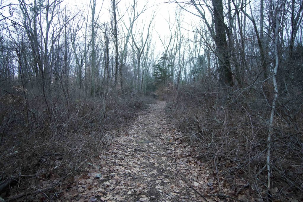
I parked in the weeds in front of the yellow gate on Rt. 97 and hopped the large rock to access what was once a gravel road that was last renovated in 1988 to provide access for timber harvesting.  On my first visit in 2018 I found the ensuing 30 years had left the gravel road a mess of fallen trees and a deep thicket of overgrowth in what was once a small triangular shaped meadow.  Beyond the trail had been rutted by ATVs and dirt bikes cutting around fallen trees.

Thankfully some forest management took place in early 2019 and on my visit in late 2020 I was able to hike in unrestricted.

About a mile into the trail I passed through a marshy area where a beaver has built a dam right at the edge of the trail.  A black water snake slithered off among the reeds and I worked my way around the flooded area by heading just to the right of the trail on firmer ground.

The next section of trail had several large mud pits and a side trail.   The side trail was very faint, but I was able to follow it for about a 1/4 mile before I lost it altogether and returned to the main trail.

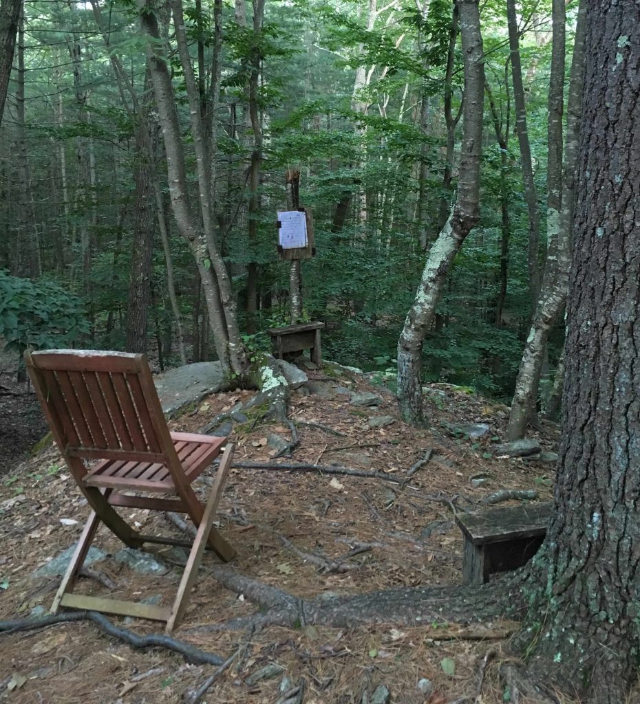
At about 1.5 miles the trail hits a stonewall and the forest changes from hardwood to pines.  The understory which had been very thick up to this point opened up.  After running along the stone wall the trail forks.  Based on the Google Maps boundary and corroborated by state forest boundary markers I thought I had entered private property so I decided to explore only just a bit further.  The forks actually form a loop and a surprise faint trail to the center of the loop revealed a rocky outcrop with a view down among the pines.  A couple chairs and stools adorned the outcrop as well as tablature for this Native American flute song. Can you imagine hearing that while out on a hike?

On my 2020 visit the sheet music had been changed to the Zuni Sunset Song.

This turns out not to be private property and the state forest extends all the way to Hanover Rd.  I think the boundary signs (and google maps) are for the original 300 acres.  The trails to Hanover Rd are much the same making a couple faint loops around vernal pools before striking off to cross Smith Brook and getting clearer as you get closer to the road.

History:

Mohegan is Connecticut’s 27th state forest established in 1960.


Links:

The information shown here is for general reference purposes only. exploreCT.org gives no warranty, expressed or implied, as to the accuracy or reliability of this data. Parking in all areas, whether designated here or not, is at your own risk. exploreCT.org is not responsible for any damage or loss to vehicles or contents.
Last updated December 13th, 2020

Visited 3852 times, 1 Visits today

Related Listings

Seven Falls

★★★☆☆

41.509452, -72.576079

Seven Falls in Middletown and Haddam, CT Parking: Shoulder parking near 1 Saybrook Rd, Higganum, CT Trail Map             Trails: 2.5 miles     …

Stoddard Hill State Park

★★☆☆☆

41.460391, -72.065988

Stoddard Hill State Park Connecticut State Park 55 acres in Ledyard, CT Parking: Medium lot near 1917 CT-12, Gales Ferry, CT Trail Map       Trails: Less…

Stillwater Pond State Park

Unexplored

41.836989, -73.150335

Stillwater State Park Connecticut State Park 226 acres in Torrington, CT Parking: Small lot near 900 Norfolk Road, Torrington Trail Map          Trails: None …