C. W. Luce Conservation Area

Tolland Town Park

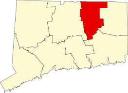
83.3 acres in Tolland, CT

Parking: Cul-de-sac near 99 Susan Drive Tolland, CT

Trail Map          Trails: 1.5 miles      Rating: ★★☆☆☆


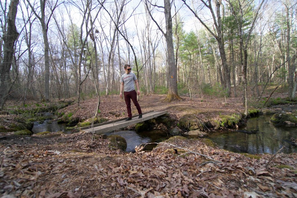
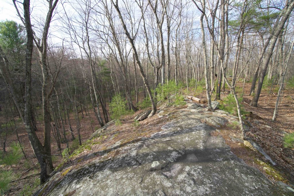
From the cul-de-sac at the end of Susan Drive the trailhead starts down some wooden steps next to private property.  A wood chip access trail leads down to bridge crossing of Charter Brook. The trail forks into a loop after the brook and I continued right following the tiny cascades downstream.  Near the property’s edge the trail turns hard left gently climbing to a rocky ridge smothered in young pines.

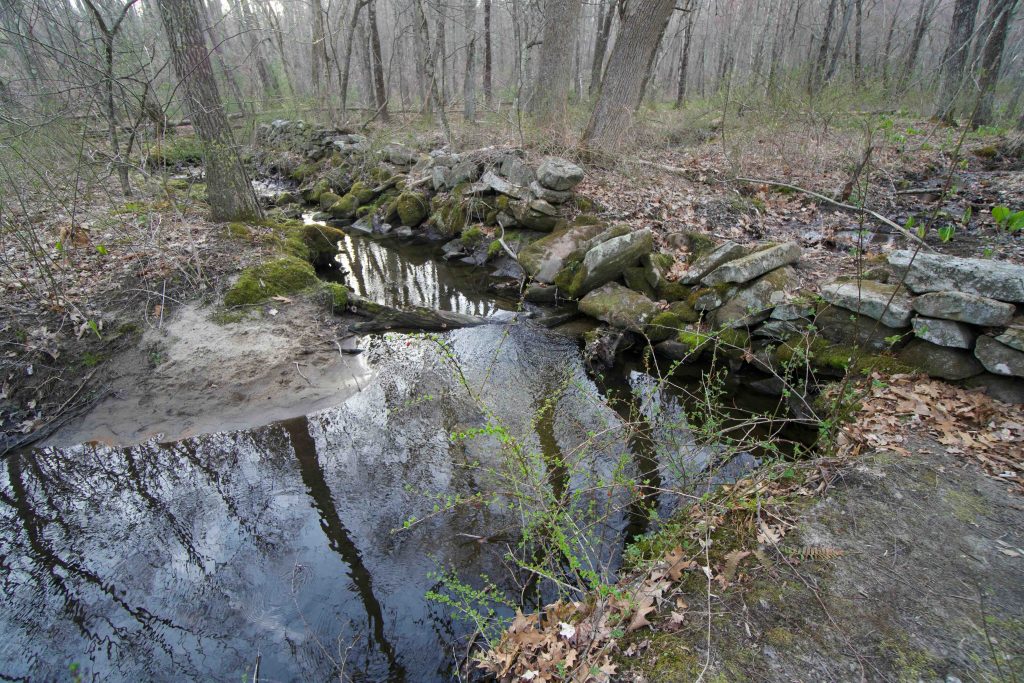
A solid rock portion offers a clear view down to a simple wooded valley.  The trail makes it way off the ridge to the backside of the loop.  The return trip rejoins Charter Brook at a flooded stonewall.  It was likely built by a farmer to create a cow pond, but has since been reclaimed by the water flowing through and around.

From here it is a simple return trip back to the bridge crossing and up to the parking area.

From the town’s website,

“The property consists of a hardwood forest mixed with white pine and includes a wooded swamp, wetlands, brooks, and an area of outcrop ledges. Charter Brook, a tributary to the Skungamaug River, runs through the property. The property supports forestry, fishing, and wildlife habitat.”

History:

Established as a conservation area in 2011 when the town purchased the property, the trail was put in by the Tolland Conservation Corps sometime in 2011-12.


Links:

Peter Marteka – Tolland’s New Open Space Acquisition Offers A Great Hike (2014)

The information shown here is for general reference purposes only. exploreCT.org gives no warranty, expressed or implied, as to the accuracy or reliability of this data. Parking in all areas, whether designated here or not, is at your own risk. exploreCT.org is not responsible for any damage or loss to vehicles or contents.
Last updated April 19th, 2021

Visited 1804 times, 1 Visits today

Related Listings

Niles Road Open Space

★☆☆☆☆

60 Niles Rd, Amston, CT

Niles Road Open Space Hebron Town Park acres in Hebron, CT Parking: Shoulder parking near 60 Niles Rd, Amston, CT Trail Map     Trails: 0.3 miles   …

Cave Hill

★★☆☆☆

41.506985, -72.472009

Cave Hill – Davison Memorial Walking Park East Haddam Town Park 14.88 acres in East Haddam, CT Parking: Room for 4 cars near 50 Davison Rd, Moodus,…

Putnam River Heritage Trail

★★☆☆☆

41.908118, -71.908057

Putnam River Heritage Trail Putnam Town Park Along the Quinebaug River in Putnam, CT Parking: There are a number of small open lots along Kennedy Drive Putnam, CT… Read more…