Kollar Wildlife Management Area

Connecticut Wildlife Management Area

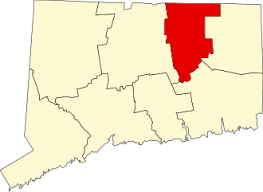
900+ acres in Tolland, CT

Parking: Small lot just east of 130 N River Rd Tolland, CT

Hunting Map         Trails: 5 miles         Rating: ★★☆☆☆


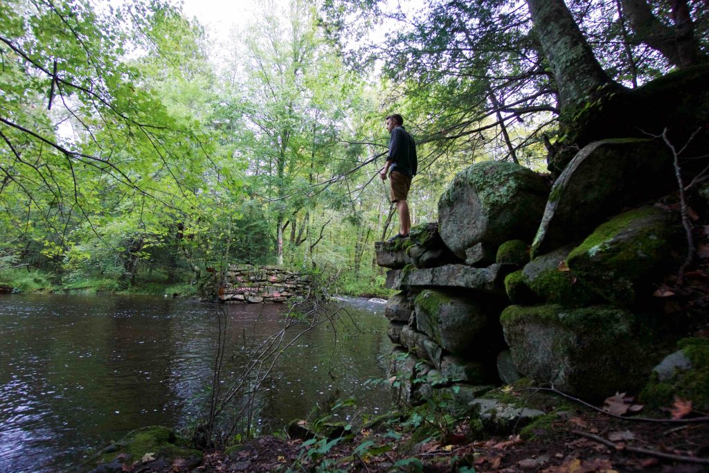
Access to the Kollar Wildlife Management Area (WMA) is down the gated North River Rd.  The abandoned road is almost a straight shot to the Willimantic River and even paved for the half mile to the river.  For an old single lane road, it remains in pretty good shape even as Mother Nature encroaches in.  At the river stone abutments still stand on either side of the river and are the remains of Scripture bridge (named for a Willington family) which was washed out in 1938.  So it was fitting that I visited after three straight days of rain when the river was deep and swift.

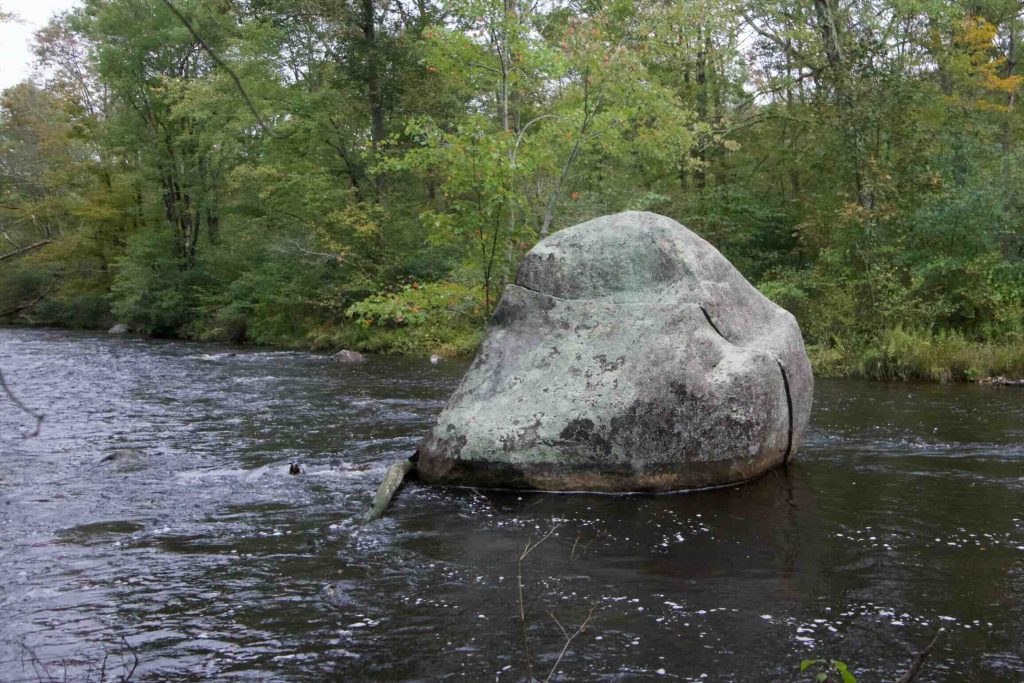
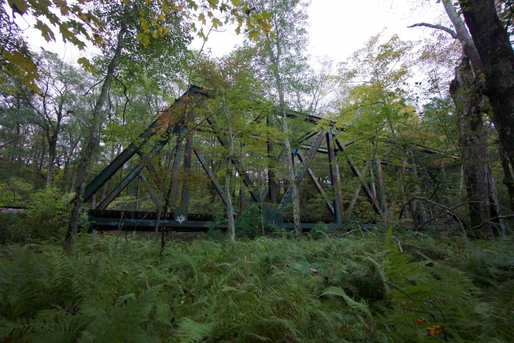
From the bridge, I headed north along the river following an increasingly narrow path which meandered along the banks.  Cut telephone poles, some covered in moss, act as kind of trail marker the length of this trail, but I’m unsure what purpose they would have served.  Just across the river are the train tracks and Rt. 32.  I lost the trail in about three places among thick ferns and grass, but always quickly found it again.  The farther I got in the more I expected it to reach all the way to Plains Rd.  It ended near a train trestle bridge about 1/4 mile away from the road making the distance out about 2.4 miles.  There are many nice views along the river including a large boulder with a tree growing out of it in the river, though it is marred a bit by noise from Rt. 32.

There were many side paths that can be taken from old woods roads to what could just be game paths.  Marteka followed one to an enormous split boulder.  He also suggests heading up Babcock Rd and taking some of the side trails off it.  Dusk prevented me from exploring any further so I’ll have to return soon.

Caution should be exercised as this is an active hunting area in season.

History:

From the Willimantic River Alliance site, “The Nipmucks and other tribes camped by this brook, which they called Owwaenunggannunck, “where people go to catch salmon.” During annual spring gatherings, they caught salmon and shad that came up the river to spawn. (Dams now prevent these fish from migrating this far up the river.) The tribes also traveled upstream to visit the mineral springs in Stafford Springs.”


Links:

Peter Marteka – The Willimantic River’s Great Split Rock Boulder, Lost Scripture Bridge

The information shown here is for general reference purposes only. exploreCT.org gives no warranty, expressed or implied, as to the accuracy or reliability of this data. Parking in all areas, whether designated here or not, is at your own risk. exploreCT.org is not responsible for any damage or loss to vehicles or contents.
Last updated September, 28th, 2018

Visited 3972 times, 3 Visits today

Related Listings

Pomeroy State Park

★☆☆☆☆

93 Beaumont Hwy Lebanon, Connecticut

Pomeroy State Park Scenic Reserve Connecticut State Park 203 acres in Lebanon, CT Parking: A small unofficial pull off near 93 Beaumont Hwy Lebanon provides access Trail…

Beach Pond

★★★☆☆

41.584222, -71.805990

Beach Pond Connecticut State Forest / CFPA Blue Blaze Trail 400 acres in Voluntown, CT Parking: Large lot on North Shore Rd Voluntown, CT Trail Map   …

Hampton Reservoir

★★☆☆☆

400 Kenyon Rd, Hampton, CT, USA

Hampton Reservoir Connecticut State Boat Launch 151 acres in Hampton, CT Parking: Small lot near 400 Kenyon Rd, Hampton, CT Trail Map       Trails: 0.5 miles …